Skip to content
Footprints and Ripples
Search
Hello!
About Me
Posts
References
Category:
Northeast
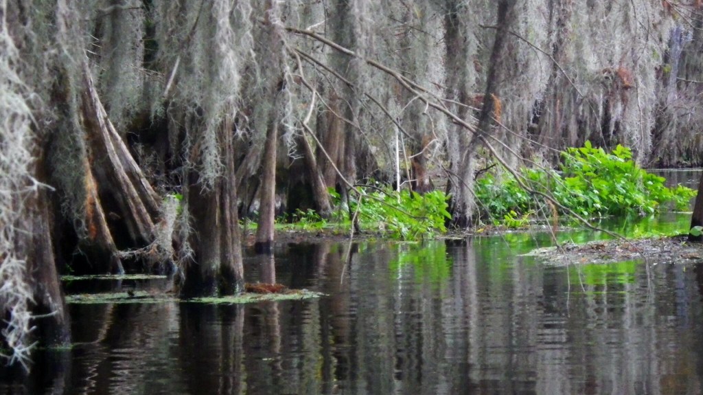
Deep Creek (07/08/16)
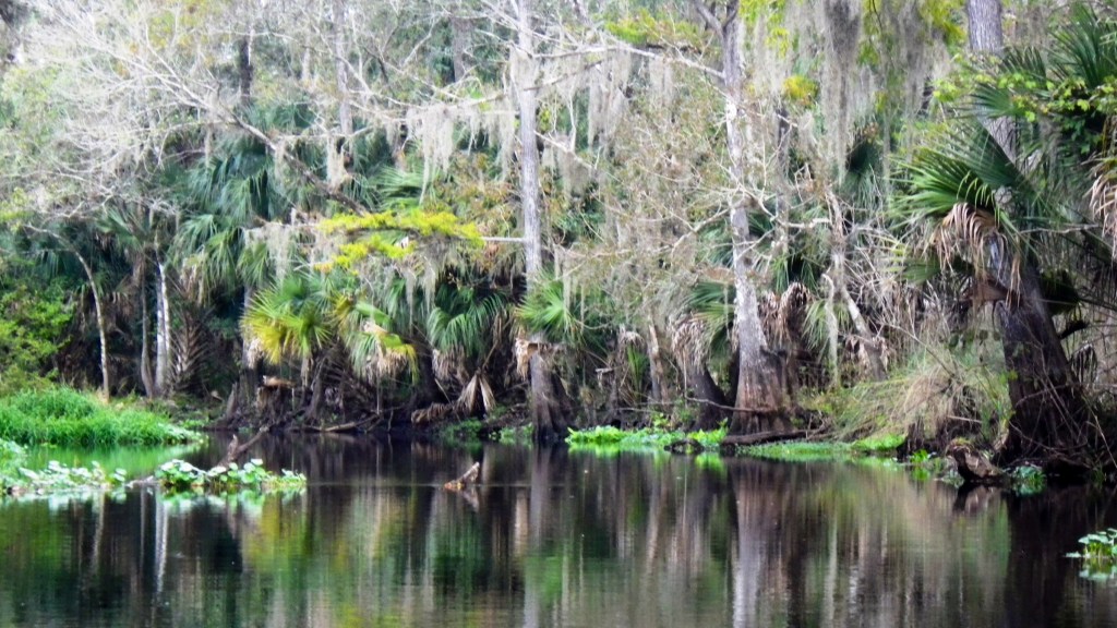
Wekiva River, Lower (12/27/13)
Blackwater Creek (A Return: 11/09/13)
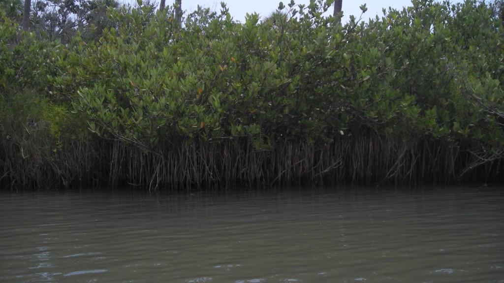
Spruce Creek (05/20/12)
Tomoka River (03/05/12)
Econlockhatchee River (04/23/11)
Blackwater Creek (03/08/2011)
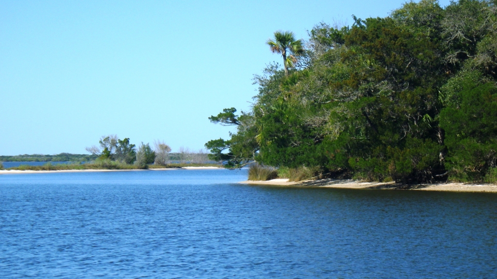
Indian River (07/11/10)
Wekiva River (07/10/10)
Subscribe
Subscribed
Footprints and Ripples
Join 53 other subscribers
Sign me up
Already have a WordPress.com account?
Log in now.
Footprints and Ripples
Subscribe
Subscribed
Sign up
Log in
Report this content
View site in Reader
Manage subscriptions
Collapse this bar