Skip to content
Footprints and Ripples
Search
Hello!
About Me
Posts
References
Category:
Central
Lake Kissimmee State Park (02/27/2024-02/28/2024)
Kissimmee Prairie Preserve State Park (01/23-01/24/2024)
Lake Louisa State Park (05/21/2023)
Chassahowitzka River (12/28/2017)
Shingle Creek (12/26/2017)
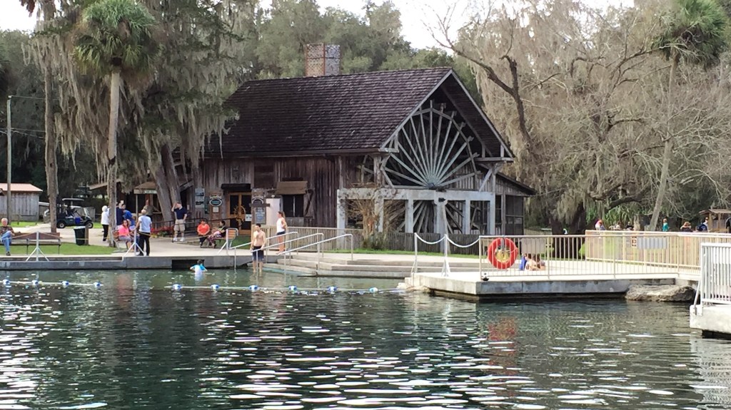
De Leon Springs (12/26/15)
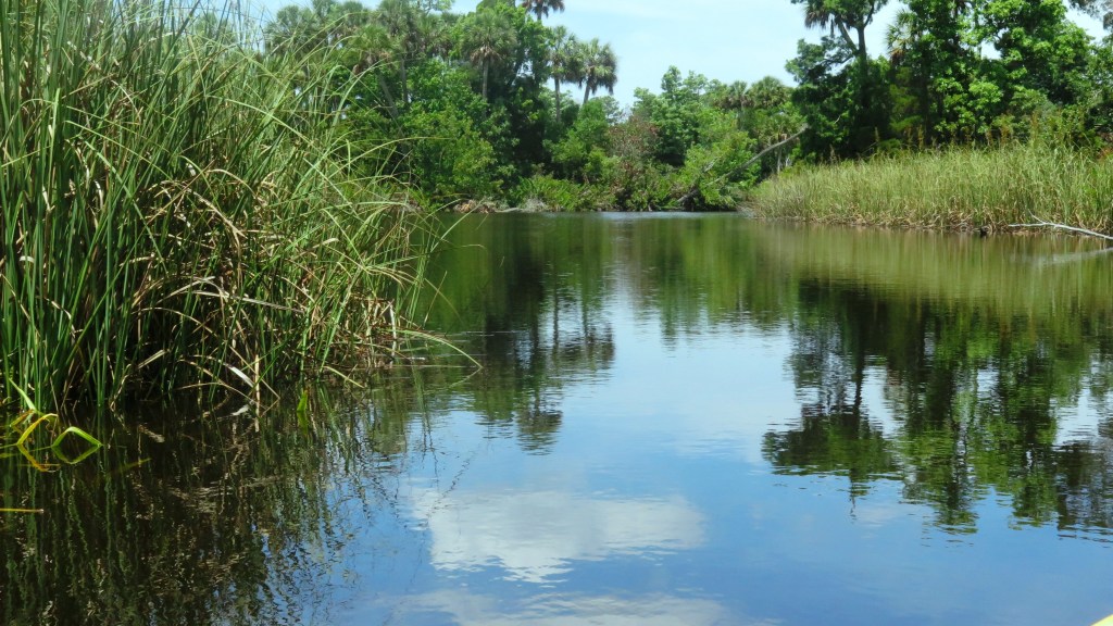
Pithlachascotee River (05/15/15)
Withlacoochee River South (A return: 12/28/14)
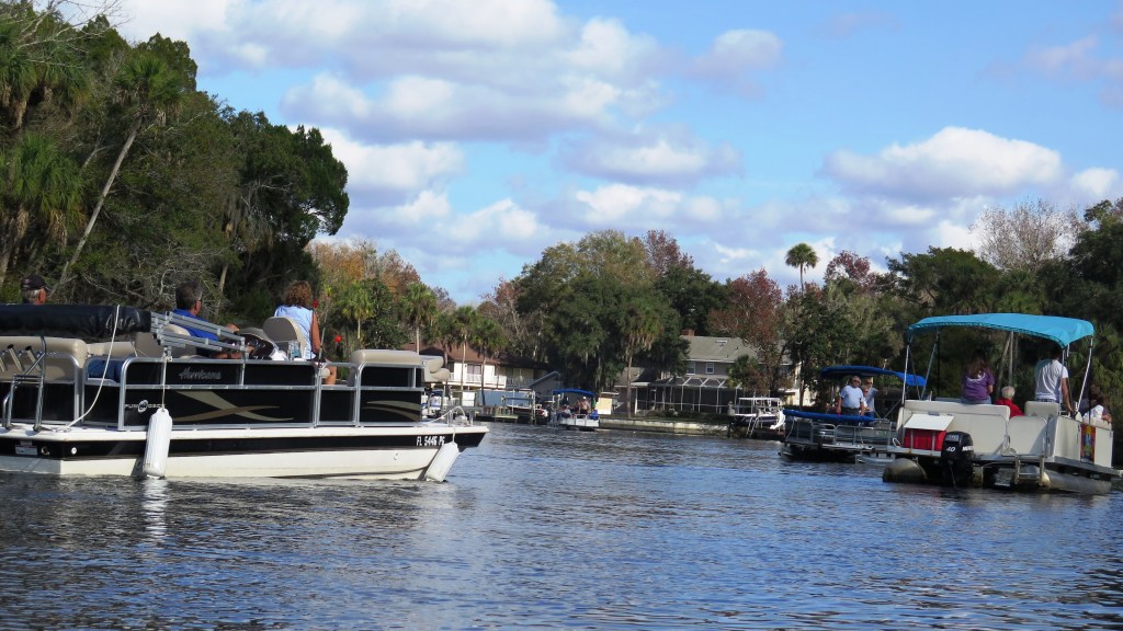
Homosassa and Halls Rivers (12/27/14)
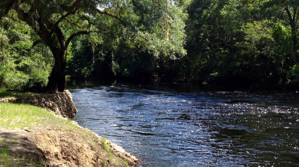
Steinhatchee River (06/19/14)
Next Page
Subscribe
Subscribed
Footprints and Ripples
Join 53 other subscribers
Sign me up
Already have a WordPress.com account?
Log in now.
Footprints and Ripples
Subscribe
Subscribed
Sign up
Log in
Report this content
View site in Reader
Manage subscriptions
Collapse this bar