Feeds:
Posts
Comments

Archive for the ‘Outstanding Florida Waters’ Category

I arrived at the Ocklawaha Canoe Outpost and Resort in time to check into my cabin and unpack before jumping on the shuttle to the

drop at Gores Landing. This would be my second paddle on the Ocklawaha and my first stay in the cabins. My adventurous spirit moved me to stay two nights along the river, rather than making a reservation at the closest Holiday Inn.  I took in my temporary “home”—a bit tight, but with enough room for 4 or 5 with the bunk beds—plus the loft.

A Soothing Paddle on the Ocklawaha…Aaahhhh

Since my first visit nine years ago, the Outpost had been sold; the new owners were Lance and Theresa. At noon, Lance drove me—along with a party of eight—to the drop off. On the drive over, he gave us a bit of the river’s history, describing how in the late 19th and early 20th century, steamboats, filled with sightseers, traveled up and down the river to Silver Springs.  Sadly, the steamboats disappeared sometime after the arrival of the railroad.

We arrived at Gores Landing shortly before one o’clock, and Lance was kind enough to put me in first, ensuring a peaceful paddle ahead of the large party. The Gores Landing trip is 8 miles. I expected it to be about a four-hour paddle.  I paddled alone on the river until near the end when I passed two small motor boats—guys out fishing.

Theresa, at the Outpost, had warned me when I made reservations the week before that the river was in the midst of a draw down.  Apparently part of the river’s restoration plan proposed by the Department of Environmental Protection includes a phased draw down of the river to historic levels to flush the river and its banks of aquatic weeds and to help the floodplain re-vegetate. I expected the level to be lower than normal, but instead, it was higher due to recent rains, flowing into the trees and keeping the wading birds and wildlife deeper into the woods.

Floating on the Dark Waters

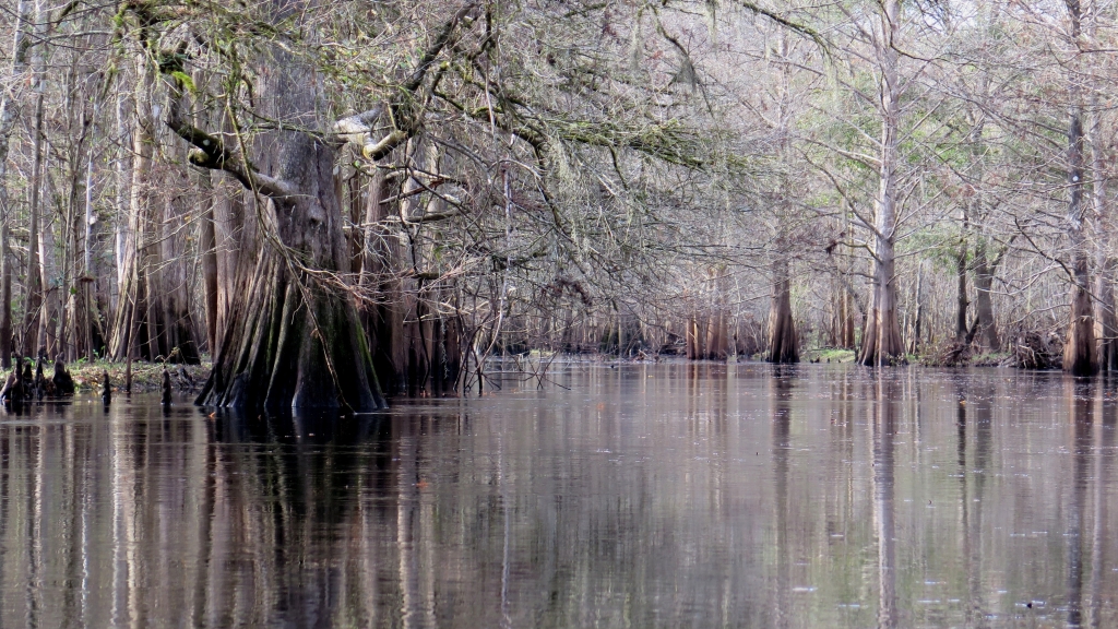
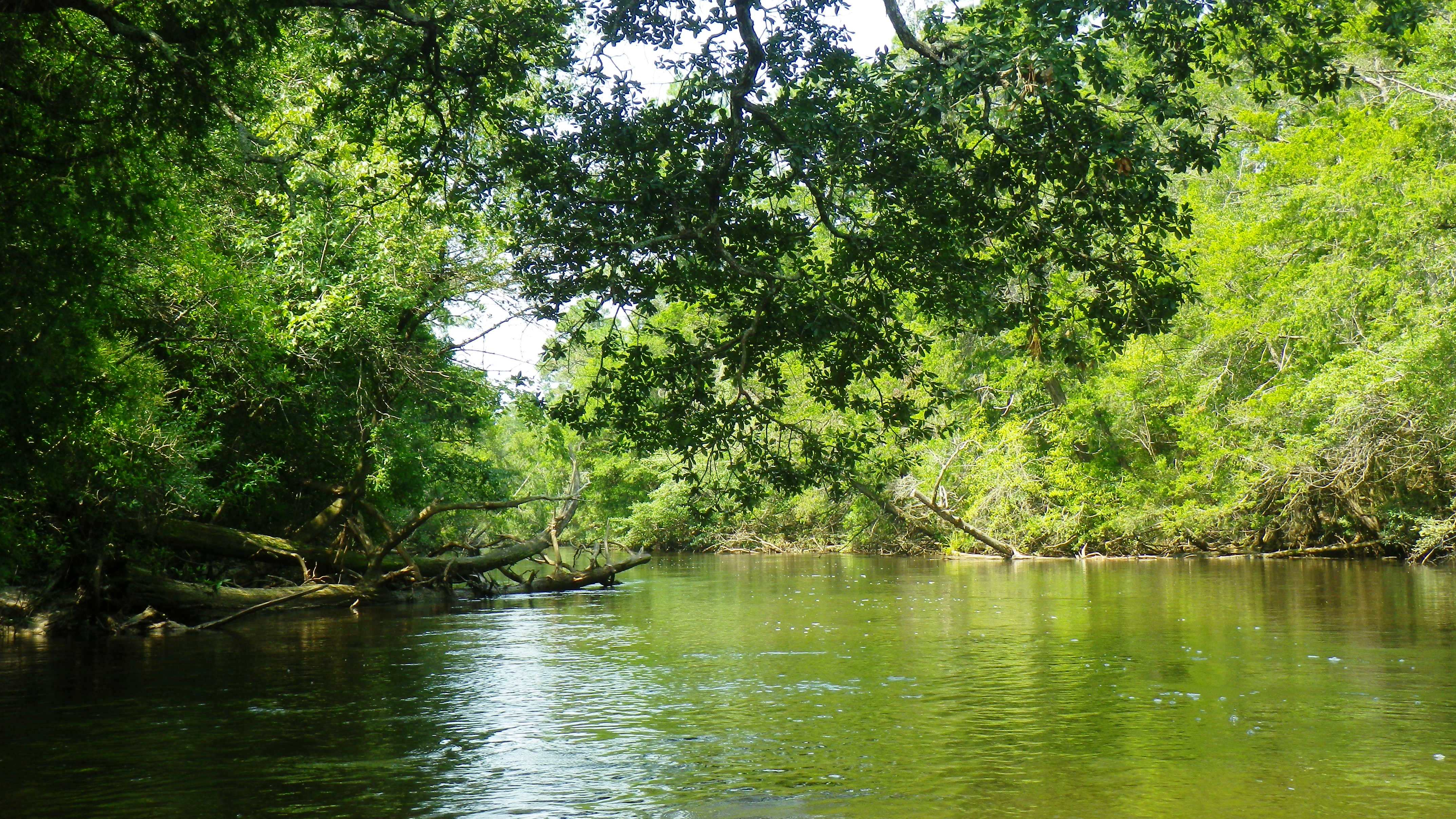
The Ocklawaha River was one of my very first river paddles—way back on July 14, 2010. I have always remembered it as one of my favorite rivers. At that time, the river was dressed in the bright greens of summer. This time, the river had dressed down in various shades of brown and gray for the winter holidays.

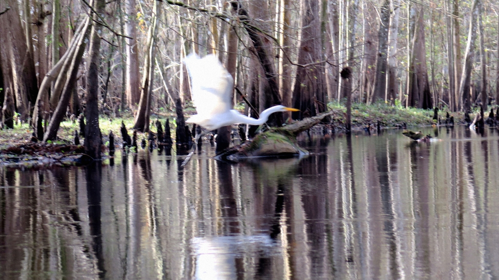
The overcast sky and high 60s temps made for the perfect paddling experience. I paddled north with the steady flow of the dark river, following its many twists and turns. I spied lots of gators—many of them juniors, only a month or so old. I sighted a few birds—ibis, herons. An owl called from deep in the woods. I searched for monkeys but spied none.

I paddled onto the Outpost boat ramp 3 hours and 45 minutes after my put in, feeling refreshed and relaxed. I had a lovely stay in my cabin the next two days, sitting next to a beautiful campfire each night and waking to the quiet. What a lovely way to end the year!

(Ocklawaha Canoe Outpost and Resort. 15260 NE 152nd Place, Fort McCoy, FL 32134. https://outpostresort.com/. (352) 236-4606)

Read Full Post »

I put in mid-morning, three days after Christmas, under overcast skies in chilly (brrrrr…60 degrees!), breezy weather. Winter had arrived in Florida!  My location, the Chassahowitzka River Campground—probably the best, if not the only put-in on the “Chaz.”

Paddling Over One of Seven Sisters

It took me some time just to be able to pronounce the name of this river—Chassahowitzka—and I’m still not certain I have it right. The Chaz is an Outstanding Florida Waterway. The river is wide, wide enough for boats, but shallow in many areas, keeping bigger boats away. It’s about six miles from the river’s source, just east of my put-in, to the Gulf. (See map.)

I had delayed my paddle on the Chassahowitzka expecting little shade from the hot sun during the summer months. However, I learned that what makes this waterway so special are the many spring runs along it—which are narrow and shaded and full of sweet surprises.

Jesse put me in at 10:30 a.m., securing my snake knife and cooler. (Others had told me there were many snakes on the river. However, I did not see one.) I paddled away, the water below me clear, heading just east to the Seven Sisters Spring. I passed a few small houses at the entrance to the spring and paddled into the little cove and over each of the seven sisters, all easy to see just below the clear surface.

Exiting the springs, I paddled west along the wider river, spying schools of fish scurrying about below me. I later discovered that they were most likely mullet or mangrove snapper. Cypress, oaks, palms, and river grasses stood tall along the banks, bending slightly with the breeze. I saw tents pitched along the north side, smelling the campfires even before I saw the campers.

Jesse had described two “must see” areas that would provide me a peak at nature along the river, and that’s where I headed, eventually paddling into a narrower loop to the right toward Salt Creek. I spent an hour or so here, paddling up each of four narrow waterways, feeling rewarded when I spotted a raccoon couple making its way to the water, searching for a late breakfast. Birds huddled along the shallow banks and on branches—anhingas, small herons, egrets, and ibis. Wood ducks paddled along the water’s edge.

Forced to Portage on Baird Creek

Time went by quickly on the waterway—over two hours had already passed. I felt the refreshing cold on my face, the kind that turns your nose and cheeks red. I headed back towards the outfitter and up another spring run on the south side of the river, Baird Creek. I came upon a wood stork on the side of the narrow creek, searching for food, not bothered by my presence at all. I paused as I watched a playful otter dipping in and out of the water around the stork and my kayak. No fear. I carefully paddled around them, and continued until the waterway widened over Blue Spring. A bit further, and I was once more in a narrow, shallow waterway and was forced to get out and portage until a downed tree finally stopped me. From here, I sloshed about 150 feet through ankle deep water until I arrived at a clear pool of aqua water and the Crack.

In all, I was in the river four hours and never got far from my put in. On my return to the outfitter, I was treated to three colorful mallard ducks dipping in the water. A light rain began just as my trip ended.

(Chassahowitzka River Campground. 8600 W. Miss Maggie Drive, Homosassa, FL 34448. (352) 382-2200)

Read Full Post »

Yancey Bridge to Magnolia Bridge

We had not quite reached Yancey Bridge when the first raindrops hit the windshield. Ricky, my ride to the river and Bear Paw owner, glanced at me encouragingly, “Even a bad day on the river is

better than …” He didn’t need to finish. “Of course,” I agreed.

Raining Hitting the Chipola

After paddling Florida rivers for more than five years, I have pretty much exhausted my list of rivers with outfitters located on or near them, leading me to revisit some previously-paddled waterways. This summer, I chose to paddle one of my favorites, the Chipola River in Marianna, Florida. The Chipola originates in Alabama and travels south close to 90 miles—with 51 miles being a designated Florida paddling trail. It passes through the Panhandle and eventually merges with the Apalachicola River which empties into the Gulf. It’s a beautiful river and one of my favorites.

I had paddled the Chipola about five years ago—and what a wonderful experience! I looked forward to paddling it again—rain or shine. My intention was to spend three days paddling different sections of the river. I wanted to re-paddle the Yancey Bridge to Magnolia Bridge trail on the first day (first paddled 7/17/12) and then paddle south of Magnolia Bridge to the Peacock Bridge on the second. On day three, I would paddle Spring Creek which flows into Chipola about two miles above the Magnolia Bridge. (Map, pages 2-3.)

It was spitting rain as Ricky shoved me off– just before 10:00. Twenty minutes later, I heard the first crack of thunder. I decided I would hold off the worry until lightning appeared—but briefly wondered if it would be better to be in the water or under the trees—my only choices—if it did. Heavy rains had turned the aqua blue water into a murky moss-colored waterway coddled by lush green trees. Birds chattered away in the woods as I paddled the dark waterway with no one else in sight; life couldn’t be better! About thirty minutes into my paddle, the steady rain gave way to a brief period of sunshine, giving me time to dry off before it began again.

There is something so peaceful and cleansing about paddling in the rain; there’s no time for other thought, just the mindful experience of listening to the sound of the rain hitting the water and trees. The rain didn’t bother me at all, although I did give myself a mental “high-five” for remembering to bring my rain jacket.

Beautiful Greens Reflect in the Water

Whether the skies are blue or gray, the entire paddle on the Chipola is a calendar-worthy experience.  I passed limestone banks and cypress swamps with various shades of green reflected in the dark water. I spied great herons, ibis, and even a red-tailed hawk.  I made it to the “ovens” (caverns) about an hour and a half into my paddle and stopped for a stretch. I took a peek into the dark caves but did not wander far inside not knowing what creatures might await me there. No doubt this is a common stop-off for many paddlers. I was disappointed to see the litter others had left.

Back on the waterway, I continued my journey. A gentle flow to the water kept me moving, and I came upon the spring to the left. Five years ago the water was clear, and I was able to take pictures of the spring under water. This time, the water was too murky and dark, and I couldn’t even make out the spring. It had begun to rain harder. I exited the spring just as an owl flew overhead.

It did begin to lightning as I neared the end of my trip nearly four hours later. As much as I loved the paddle, I was happy to arrive at my destination.

(Outfitter: Bear Paw Canoe Rentals. 2100 Bear Paw Lane, Marianna, Florida 32448. (850) 482-4948)

Read Full Post »

I call “do-over” on this one. I was never quite sure where I was!

I had hoped to paddle the upper Ochlocknee, a more narrow and twisted river. Failing to find an outfitter who would drop me, I decided on the Ochlockonee River State Park located on the lower Ochlocknee for a put-in. I intended to paddle the short distance from the Park’s put-in to Bear Creek. (Bear Creek connects two parts of the Ocklockonee on a loop.) I would then emerge back onto the Ocklockonee with a short paddle back to the put-in—about a 7.5 mile total paddle according to the Park’s map.

The Put-in at Ochlockonee River State Park

The Ocklockonee River originates somewhere in the swamps of Georgia. Its scape changes as it travels southeast and sometimes southwest and eventually the waterway twists and turns and empties into the Ochlockonee Bay. At the point of my put in, the river creates a camel’s hump. Bear Creek crosses through the hump.

I put-in mid-morning, and although wide at this point, the river was quiet and peaceful and beautiful. I love being the only one on a river; there is nothing else as serene. I paddled south, southwest, the Park on my right–tall straight pines bidding me farewell from the shore. Birds called from the trees; blue herons waded by the water’s edge; and a swallow-tail kite flew overhead, a tasty breakfast in his talons.

After about 20 minutes on the wide waterway, I entered Bear Creek on my left, immediately surrounded by tall swamp grasses. The creek was perhaps 50 to 70 feet wide with no shade, so I was grateful for the clouds overhead. Tall dead trees silhouetted the sky-many with either osprey or eagle nests on top. One tree had several eagles perched in and around the nest.

The sky darkened, and a slight, cool breeze caused me to think that it might rain. Alone on the dark waterway, I paddled, expecting my surroundings to change. Steven, the man at the Park’s guard gate (and coincidentally the son of an author of one my guide books) had told me that I would come to some shade and small cliffs. However, I continued to paddle through the tall swamp grasses.

Something I did not expect—at two points in the creek, I had to decide—go right or left? The first time, I went left. Ten minutes into my paddle as the tall grasses encroached to the point where I could touch them on both sides, I realized I had made the wrong choice. Whoops! Below me in the water I could see a lone fish, long and pointed with spots, his fin above water. He paddled beside me for a bit, but was no help at all.

Tall Swamp Grasses on Bear Creek

The second time, I turned left first, scouted it out for a bit, then doubled back and went right. This is where I believe I went wrong. However, I can’t tell for certain with the maps I have found. I may have somehow connected with the Cow Creek. I’m not sure, but after about an hour of paddling, I knew I was not on Bear Creek. I checked my location on my phone the best I could (before I dropped my glasses into the water, that is), and it appeared I was in a waterway to the right of where I should have been. I called the park folks, and to their credit, they did not hesitate to tell me that they would send someone out to find me. But I wasn’t going to give up yet. I paddled awhile longer and eventually came out…strangely, just south of where I went in—Cow Creek?

I had put in that morning at 10:45, expecting to return around 3:00. Here, I was back by 1:15. Sadly, I never saw Bear Creek Bluff, and I didn’t have the time to start over again. Thus, my need for a “do-over.”

The red trail on the park map shows my intended trail. The waterway to the south of where I entered Bear Creek (left) I believe is Cow Creek and where I came out.

For some great reading about the Ochlockonee River, try this site.

(Ochlockonee River State Park. 429 State Park Road, Sopchoppy, FL 32358. (850) 962-2771. Stephen Carter)

Read Full Post »

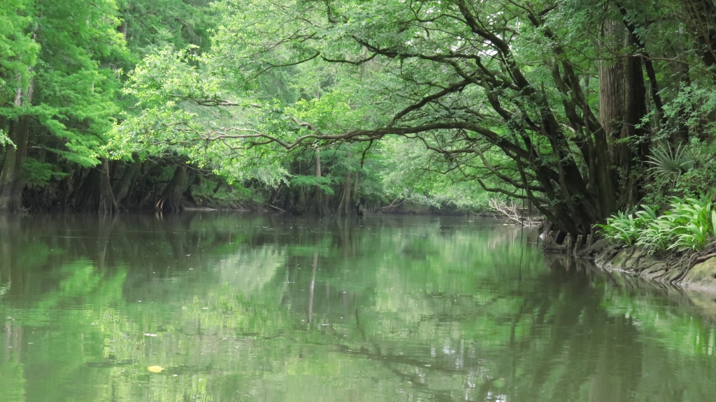
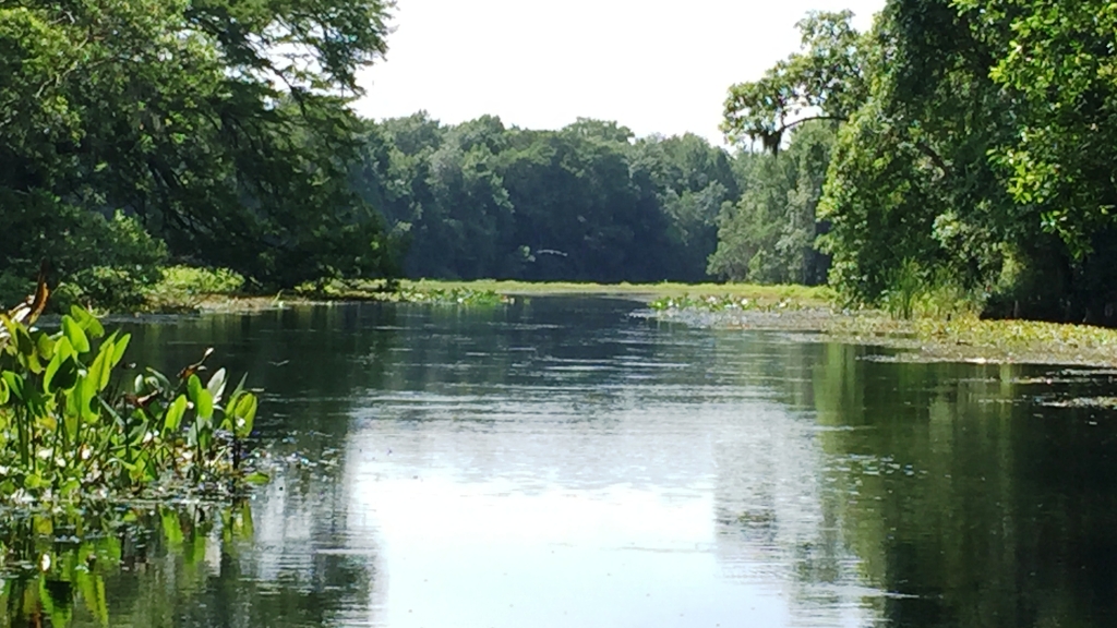
I paddled through the shallow, swampy waterway, around the cypress and swamp weeds, and emerged onto the Wacissa River. Long eel grasses waved in the cool, clear water beneath me. Around me, the river was wide and bordered with beautiful cypress, oak, maple, tupelo and pine trees…an “Old Florida” postcard.

Emerging Onto the Wacissa River

The Wacissa River begins close to where I put in—in the swamp with a couple small springs. However, the larger Big Blue Spring is considered the headwaters of the river. The river runs about 14 miles and ends as it flows into the Aucilla River by way of a man-made canal. About a dozen springs add to the flow of the Wacissa (Carter et al.).

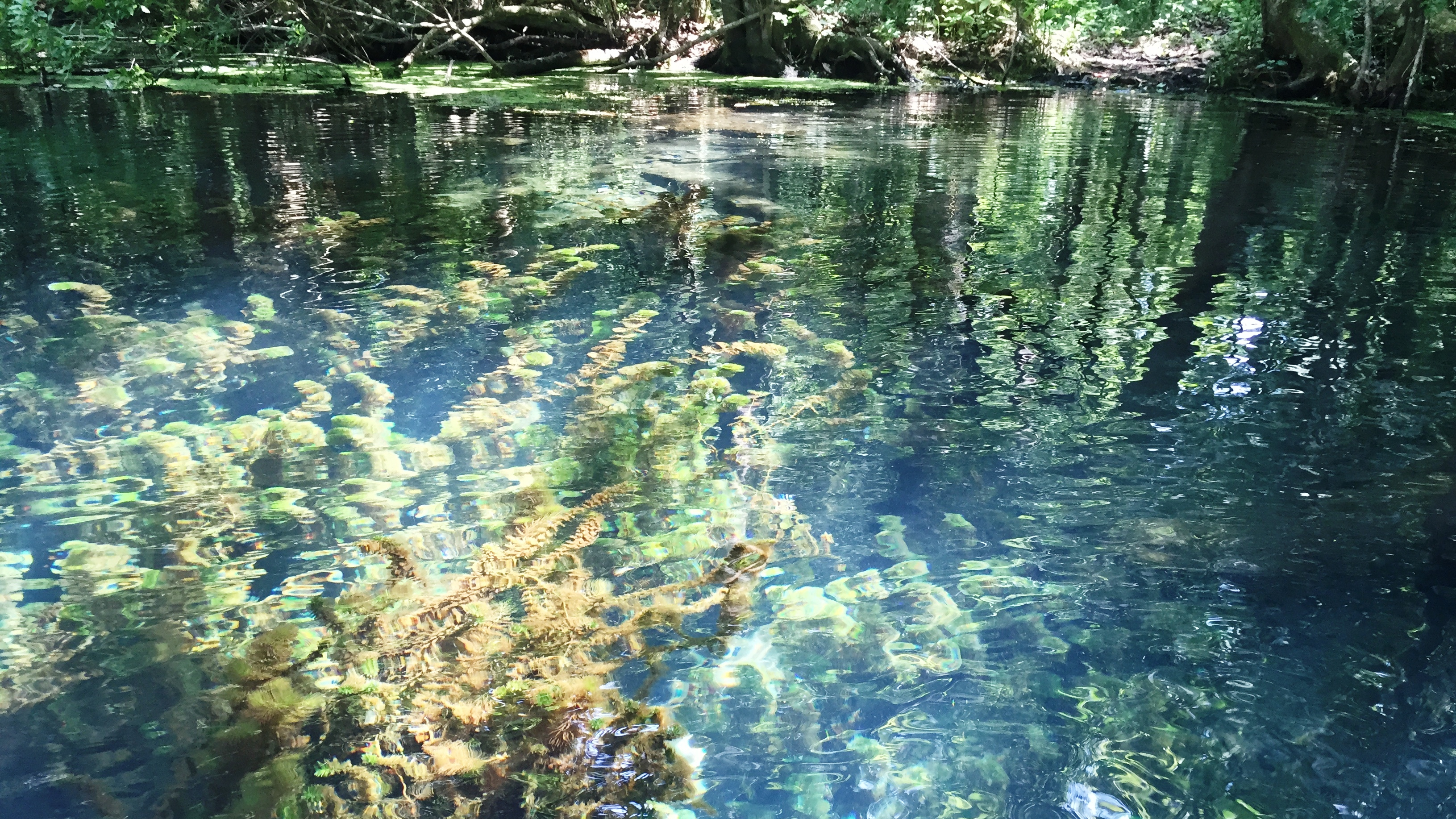
I paddled south, towards Big Blue. An orchard of water plants, such as Pickerel weed, forced me to the middle of the river, away from the shade of the banks. The thought crossed my mind more than once that I should have saved this river for cooler weather! The water deepened, and below me, invasive hydrilla—like thick masses of dreadlocks—blocked much of the view of the sandy bottom.

As much as the water plants kept me from shade, they were also alive with sounds of screeching and squawking birds. I saw blue heron, common moorhen, and egrets. I paddled past the frolickers at the Wacissa County Park—splashing around, trying to keep cool on this very hot day. A couple young boys in a canoe had hooked a small gator—and neither the boys nor the gator seemed to want to give up the lure.

Big Blue Spring on the Wacissa River

I arrived at Big Blue Spring, delighted to find shade at last. I paddled over the Spring and peered into the clear water—beautiful shades of blue and green. However, the hydrilla growing in and around the Spring kept me from dipping. The ickiness of it all did not tempt me!

On my paddle back to the outfitter, I discovered that the river had many little nooks and crannies to explore which gave me a break from the sun. It really was a lovely river.

(Wacissa Canoe and Kayak. 290 Wacissa Springs Road, Monticello, FL 32344. (850) 997-5023)

Read Full Post »

For the New Year, I chose Withlacoochee River South as my “old” river—one which I had previously paddled. Coincidentally, I had paddled this river for the first time two years ago on the same day—December 28. I love, love, love this river; this is a “must paddle” river for anyone who enjoys nature, peaceful serenity, and paddling.

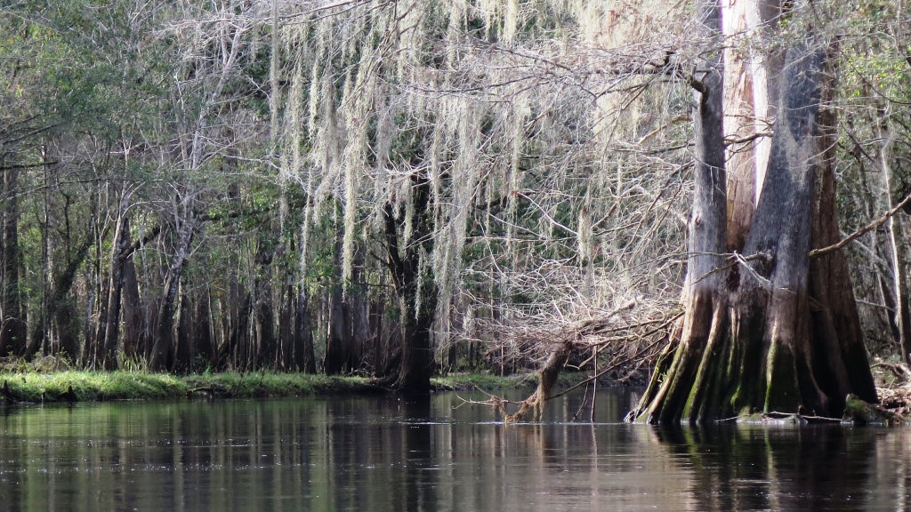
Bare Cypress Adorned with Moss

Withlacoochee is a Native American term that means, “little big water” or “crooked river.” When I paddled the “With” two years ago, the water level was low—a “little water.” Although Jacqui, operator of the RV

Park, dropped me as close as she could to the river’s source, the Lacoochee Park put-in, I had wanted to be closer. This time, with the water level higher, a “big water,” she dropped me deeper into the forest, at the High Bluff put in—closer to the river’s source but still about a two-hour paddle away. From High Bluff, I expected at least a 3-hour paddle back to the RV Park, so I decided not to paddle deeper into the swamp before heading west and back to the outfitter.

On the drive to High Bluff, Jacqui pointed out the site where the Cummer Sons Cypress Company sawmill once stood. The Cummer brothers built the mill in 1922, and for nearly four decades until the mill closed in 1959, Lacoochee prospered and grew (East Pasco Historical Society) —at the expense of the cypress, of course.

So, I paddled away from the High Bluff put-in. I wore an orange vest as I did two years earlier; it was hunting season (hogs and deer). It felt like winter on the river. Tall cypress, now bare except for moss that hung like tinsel on last year’s Christmas trees, surrounded me. I felt grateful that the Cummer brothers had left some cypress for me to enjoy. What a beautiful river!

Lost in the river’s magic and to the outside world, I moved with the swift, gentle current. The high waters had flooded over many banks and into the trees, leaving me to wonder, at times, whether I was still on the river or had floated into the watery forest. Dark bands around tree trunks revealed to me that this “little big river” could get bigger still. High waters had forced the wading birds (cormorants, egrets, and ibis) deeper into the woods, and the river remained quiet with the exception of the occasional splash of a gator’s belly flop.

An Occasional Bird Appears

The river was awesome, and I was awestruck. Old wood-framed houses began to pop up as I neared the outfitter—way earlier than I expected. I arrived at the outfitters in less than two hours from my put-in.

(Withlacoochee RV Park and Canoe Rental. 39847 State Road 575, Lacoochee, FL. (352) 583-4778)

Read Full Post »

In the spirit of the New Year fast approaching, it seemed appropriate to select two rivers to paddle–one new river (one which I have never paddled) and one old river (one which I had previously paddled). I chose the Homosassa River in Homosassa, Florida, as my “new” river.

A Busy Homosassa River

The Homosassa River originates at the Homosassa Springs in Citrus County. From there, the river travels about 8 miles westward before emptying into the Gulf. The Homosassa Springs State Wildlife Park sits at the river’s headwaters. I toured the park this past summer and even visited the underwater viewing room to watch the fish and manatee from below. Pretty cool. The Homosassa is designated as an Outstanding Florida River, and by Florida Statute, it is “worthy of special protection because of [its] natural attributes” (Florida DEP).

From where I put in at Riversport Kayaks, I could see the considerable development along the river with homes and businesses. Small motor boats and pontoon boats filled with sightseers watching for manatees crowded the river heading east towards the springs. The sounds of puttering motors and country music filled the air, and there was no question that this would be a fun, rather than serene, paddle.

It was afternoon, and I paddled away under a beautiful, sunny sky with a light breeze—perfect weather for paddling. Kayakers and paddle boarders enjoyed the lazy afternoon keeping to the shoreline. I followed the crowd and paddled toward the springs as well, catching my first whiff of gas fumes just as a manatee ducked beneath the surface in front of me.

Outside the protected springs area, snorkelers swam in groups, hoping to make friends with a manatee. I paddled among the boats and then ventured into a couple of the river’s little nooks hoping to glimpse a bit a nature unaffected by all the commotion. I took a detour to the north and paddled under a bridge onto the Halls River, leaving the boats and country music behind on the Homosassa. Halls is a spring-fed tributary of the Homosassa, only about 3.5 miles long. It’s surrounded by tall marshy grasses. I explored a more shaded and narrower branch of the river for a while, and then I headed back to the outfitter—not spending near enough time on this river. Perhaps I will return to this river next year for a paddle to the springs.

(Riversport Kayaks. 5297 S. Cherokee Way, Homosassa, FL. https://www.riversportkayaks.com/. Email: rskkirk@gmail.com. (352) 621-4972 )

Read Full Post »

I began “Day 2”of my summer vacation with a paddle on the Blackwater River in Milton, Florida. I rented a sit-on-top kayak from the Blackwater Canoe Rental and selected the 11-mile paddle from the Bryant Bridge (north of Milton) to Deaton Bridge. The outfitter dropped me at 9:30 a.m. along with three folks from Alabama.

Dark Waters of the Blackwater River

Boning claims that the Blackwater is among the most pristine of Florida’s rivers. Blackwater comes from the Choctaw word “Oka Lusa” which means “water black.”  At lower levels, the river is tannin-colored (rusty looking in the lowest spots) but turns black at deeper levels.  The Blackwater River begins its journey in the Conecuh National Forest in Southern Alabama.  It flows about 56 miles south, then west, on its way to the Blackwater Bay. When it reaches Florida, it passes through the Blackwater River State Forest.  The Blackwater River is an Outstanding Florida Water; thirty-one miles are Designated Florida Paddling Trail as well.

So, I paddled away on the tannin-colored water under clear, sunny sky, waving goodbye to the folks from Alabama who had been nice enough to invite me to join them. I took in the scenery and sighed—to my right, a high sandy bank, etched throughout the years by the twists and turns of the river, topped by tall, straight pines.

For over two hours, I paddled in silence, little sign of life. A couple lazy hawks flew overhead, and then I saw low-flying aircraft from the nearby Eglin Airforce Base—a strange reality check. Briefly, my mind flitted to a scene from the African Queen, but then they were gone, and I melted back into my seat and took in my surroundings: white cedar, cypress, water oak, pine, wax myrtle, and magnolia.

The river offered an occasional shady spot and a light breeze, only minimal relief from the sun. The sides of the river alternated with white sandbars on one side and sandy banks on the other—similar to the Perdido. High waters and storms had scooped out the banks, leaving tree roots exposed. A sandbar beckoned me; I stopped for a quick stretch and a dip to cool off.

Occasional Shade on the Blackwater

About 2.5 hours into my paddle, tubers appeared in their blue, green, pink, and yellow tubes, decorating the white sandbars like sprinkles on a cake. My spiritual retreat ended, as I paddled past wading sunbathers and sandbars adorned with umbrellas and coolers. Teenagers stood on high banks while from the water below, others dared them to jump.  I couldn’t watch.

Four hours after my put in, I passed under the Deaton Bridge, and pulled my kayak out of the water. My outfitter connection awaited me there.

(Blackwater Canoe Rental. 6974 Deaton Bridge Road, Milton, Florida. https://www.blackwatercanoe.com/. (850) 623-0235  or (800) 967-6789)

Read Full Post »

Vacation time had arrived at last, and this summer, I planned to return to the Panhandle for three paddles. It was long overdue—I had originally scheduled it for July, but I fractured my wrist (handstands) and had to delay my trip. My cast came off Friday, two days before I left for the Panhandle.  I figured a few days of paddling would be good therapy.

I chose the most westerly river I could for my first paddle: the Perdido River. In Spanish, Perdido means, “lost” or “lost river.” If you look at the map, the Perdido River draws the north-south boundary between Florida and Alabama, and there is so much history here as the Spanish, British, French, and of course, United States, struggled to gain possession of these lands. (Boning) The Perdido originates in Alabama and travels about 58 miles from Alabama to Perdido Bay—which is part of the Gulf.  It includes nine miles of Florida Designated Paddling Trail from Barrineau Park to Adventures on Perdido. The Perdido is also an Outstanding Florida Water.

Adventures on Perdido (formerly part of Adventures Unlimited) is the only outfitter on the river.  Linda and Dave are the owners; theirs is a small mom and pop outfitter in the middle of nowhere. They have enough canoes to meet the needs for busloads of vacationers, but I found the choice of kayaks limited. A sit-on-top would have been nice under the hot sun (and Linda’s recommendation), but theirs were too small to hold my cooler and supplies, so I opted for a sit inside. As it turned out, it had wacky tracking, and whenever I stopped paddling, the kayak turned right–a bit like that crazy cart I sometimes get at Publix.

At 9:30 a.m., Dave dropped me at the Perdido River Wildlife Management Area access, just south of Barrineau Park.  From here, I paddled south with Alabama on my right and Florida on my left—how cool is that? I spent the next three hours alone on the tea-colored waterway under the hot August sun.  The wide river (often about 50 feet wide) and tall palms, cedar and cypress offered little shade! I made do with the sit inside kayak and flung my legs over the sides—not very ladylike, but it was very relaxing and much cooler with my feet dipped in the water.

A Peaceful Perdido River

The river was quiet—no people, no animals, no gators or snakes. Three hawks flew overhead and disappeared. I took in the beautiful white sandbars and the high sandy banks while I snacked on trail mix and fruit. However, as beautiful as these all were, the condition of the river was disappointing. Dead wood in the water collected trash all along the river—reminders of inconsiderate humans. Although the Perdido Wildlife Management Area includes 15 miles of frontage on the river, portions are also owned by individuals (evidenced by many plastic chairs on sandbars) and gun clubs. I wondered who was responsible for keeping it clean.  This river had so much potential, but it seemed neglected.

Truthfully, I can’t say that Perdido makes my “top ten” list. However, is there anything better than to paddle down any Florida river in the midst of nature?

(Adventures on Perdido. 160 River Annex Road, Cantonment, Florida. https://adventuresperdidoriver.com/. (850) 968-5529 or (888) 863-1364)

Read Full Post »

I stood in the close quarters of the tiny outfitter’s office with Jackie, the owner. “We have alligators and snakes here, just so you know,” she warned me, and then she demonstrated how to remove a snake from a paddle. Truthfully, alligators don’t bother me, but I’ve yet to encounter a snake in a Florida river—strange as that might seem after 28 rivers paddled. So, I listened and asked questions (“What kind of snakes?” “How big are they?”), secretly hoping that the cold weather would keep the snakes away.

The Withlacoochee River. It sure is a mouthful to say. It’s a Native American term that means, “little big water” or “crooked river.”  I understood, once I paddled it. During the drier season, when the water is low, the “small” river twists and turns through sometimes high banks. However, when the rains come, the water flows high and into the woods so that the banks disappear and the river appears “big.” Paddling in the dry season, I could see how the high waters had left their marks on the trees.The Withlacoochee originates in the Green Swamp, along with the Peace, Hillsborough, and Ocklawaha rivers—a few of my favorites.  It travels west, then north, then west again, and it finally empties into the Gulf. It is an Outstanding Florida Water and is more than 140 miles long. Eighty-three miles is also a designated Florida Paddling Trail.

To get to the drop off, Jackie and I drove through the Richloam Wildlife Management Area in the Withlacoochee State Forest, scooting over on the dirt road to let hunters pass in their dusty pickups, hound dogs barking in cages in the back. If it had been later in the year, during the rainy season, I would have started my paddle several miles deeper into the Green Swamp at “High Bluff,” welcoming the extra couple hours of serenity and nature.  However, during the dry season, that portion of the river becomes puddles in places and requires a lot of portaging, so Jackie dropped me at the Lacoochee Park put in. From here, I had several miles to paddle back to the outfitter located on SR 575 and another five miles to the Sawmill residences where Jackie would pick me up.

I had layered up for a cool day of paddling—in the 60s when I began—brrr!  I had added the “required” orange vest (to ensure I would not be mistaken for a deer or hog by the hunters). The crisp air felt good as I paddled the quiet river. For nearly two hours, only the screeches of the occasional red-shoulder hawk broke the silence.

The Withlacoochee Dressed in Browns and Grays

Earlier, Jackie had described the beautiful colors of the river in the springtime; however, even in its neutral shades of brown and gray, the river was beautiful—like an old photograph. Naked brown cypress clung to the banks while live oaks and red maples added bits of green and red to the landscape. Cypress knees stretched to the sky as if in prayer—how appropriate for this ethereal habitat!  Young ibis in various shades of white and brown, stood sentinel atop of the brown river banks while vultures cast ominous shadows on the river, perhaps circling a carcass hunters left behind.  Black-crowned night herons, great herons, anhingas and egrets seemed to enjoy the river’s tranquility, watching quietly as I passed.

Shortly before I paddled under SR 575, I saw the first house.  After that, old wooden framed houses popped up on the banks here and there, and folks were out fishing. The low water created light turbulence in the water in some areas which made paddling fun.  In one spot, I struggled to get my kayak through overgrown vegetation and fallen trees, but I managed to do it without stepping into the dark water and muck.

Indeed, the cool weather had kept the critters away—no snakes or alligators on this trip!  However, the Withlacoochee is definitely a river I’ll return to when the water is higher and the banks are green. I imagine I will see an entirely different river at that time.

(Outfitter: Withlacoochee River Canoe Rental. 39847 SR 575, Dade City/Lacoochee, Florida. (352) 583-4778)

Read Full Post »

Older Posts »