Skip to content
Footprints and Ripples
Search
Hello!
About Me
Posts
References
Category:
Paddling
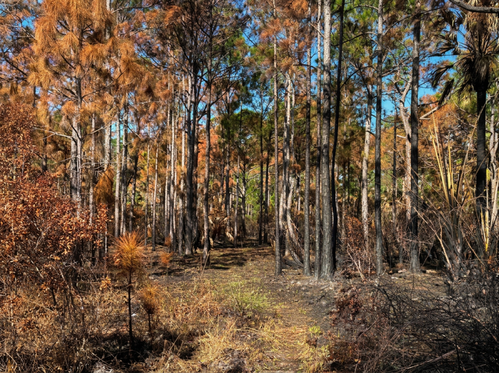
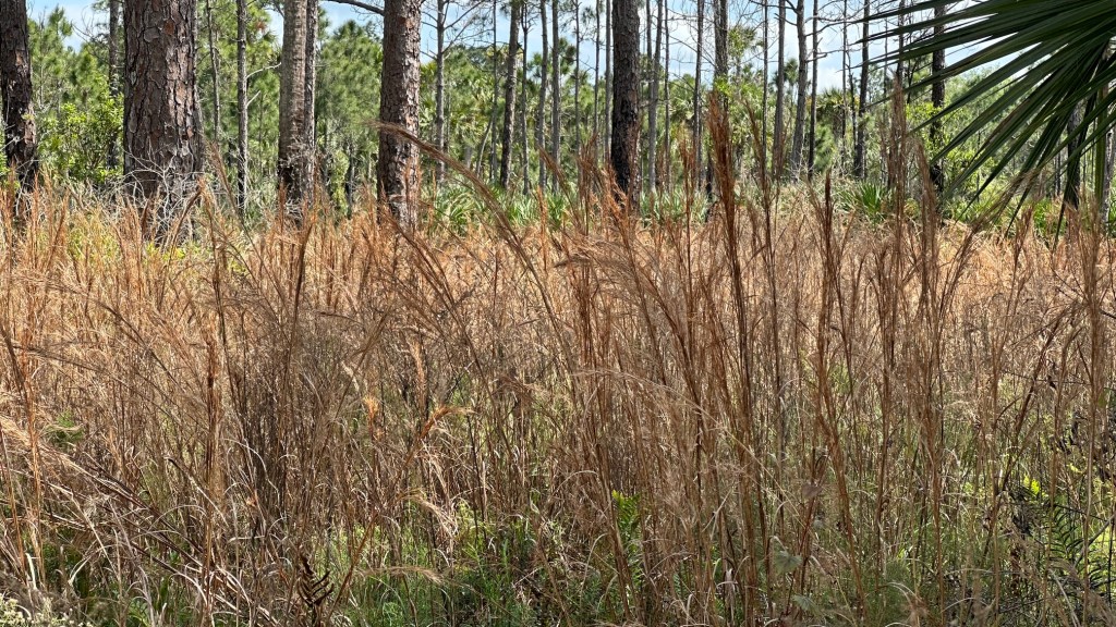
Exploring the Beauty of Fall on the OTL Trail: Powerline Road to Loop 4 Dupuis (01/31/2025)
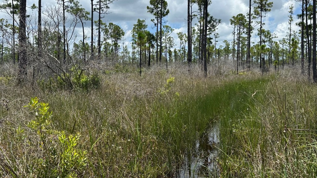
A Waterlogged Trek Along the OTL Trail–Corbett WMA–Powerline Road Eastward (07/11/2024)
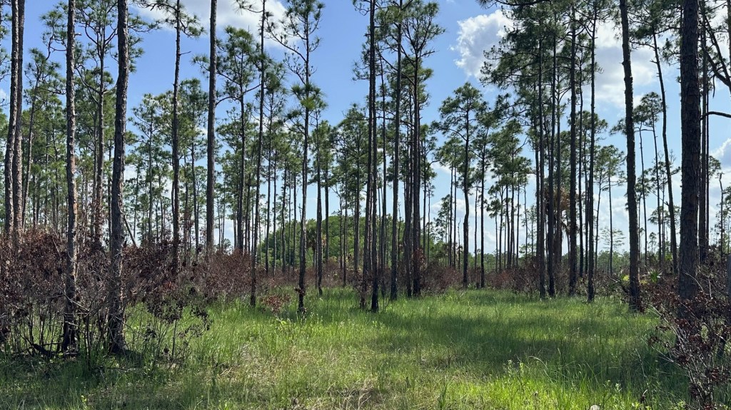
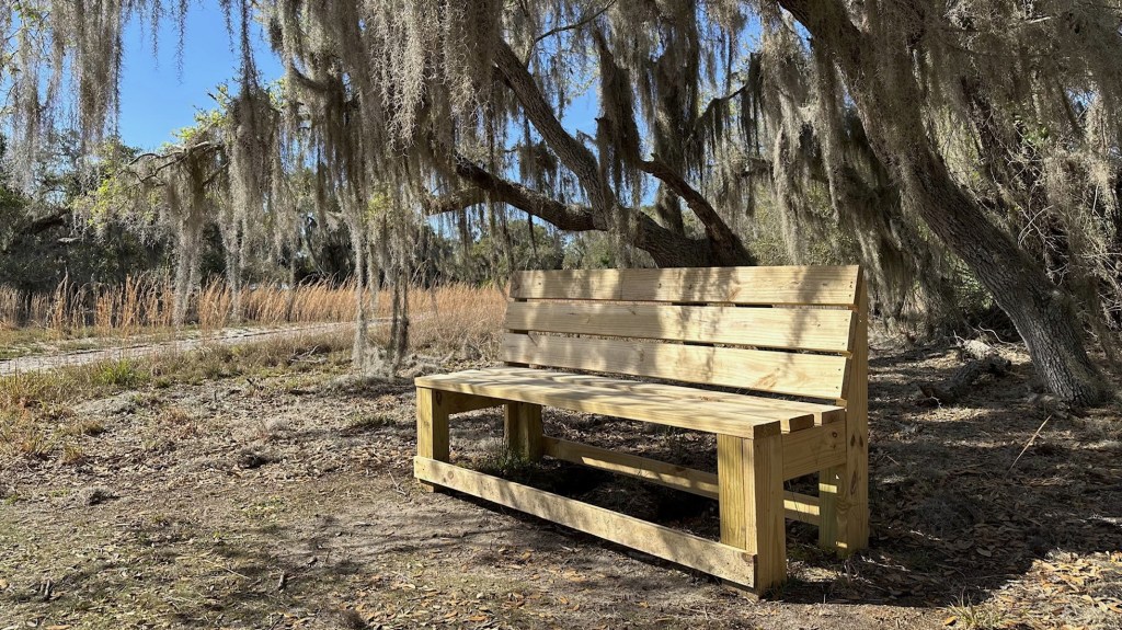
Beautiful Savannah Views and Old Buggy Roads on the OTL-South Grade Road Westward (05/24/2024)
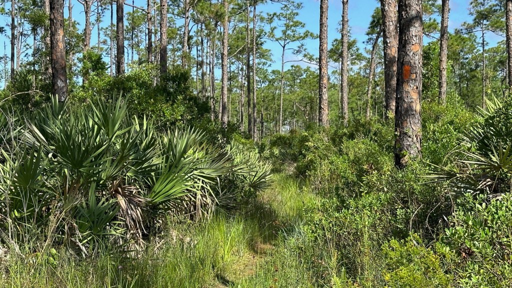
Exploring the Mystical Corbett Wildlife Management Area – OTL Trail East from South Grade Road (05/07/2024)
Eyeglass Pond and Wetlands Walk on the Ocean to Lake Trail (04/15/2024)
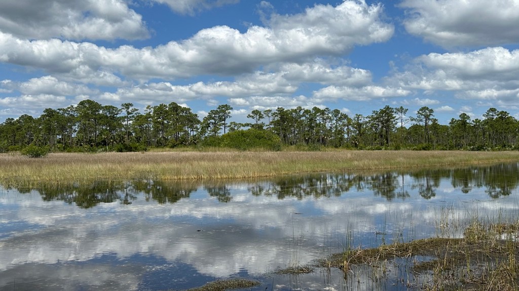
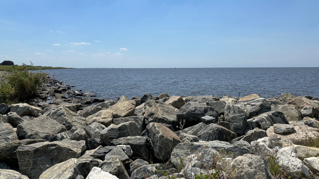
Dupuis Grade Road to Lake Okeechobee-OTL Trail (03/20/2024)
Dupuis WEA–Loop 4 (03/12/2024)
Lake Kissimmee State Park (02/27/2024-02/28/2024)
Dupuis WEA–Loop 3 (02/14/2024)
Fakahatchee Strand Preserve State Park (01/31/2024)
Next Page
Subscribe
Subscribed
Footprints and Ripples
Join 53 other subscribers
Sign me up
Already have a WordPress.com account?
Log in now.
Footprints and Ripples
Subscribe
Subscribed
Sign up
Log in
Report this content
View site in Reader
Manage subscriptions
Collapse this bar