Category: Outstanding Florida Waters
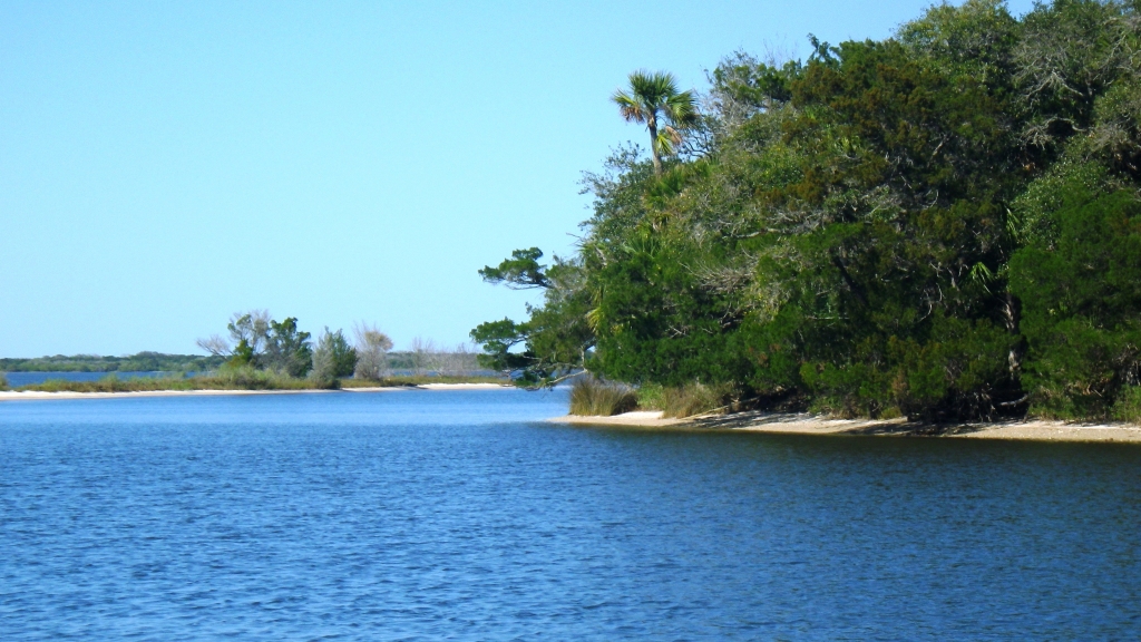
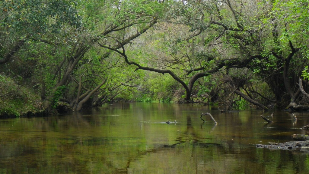
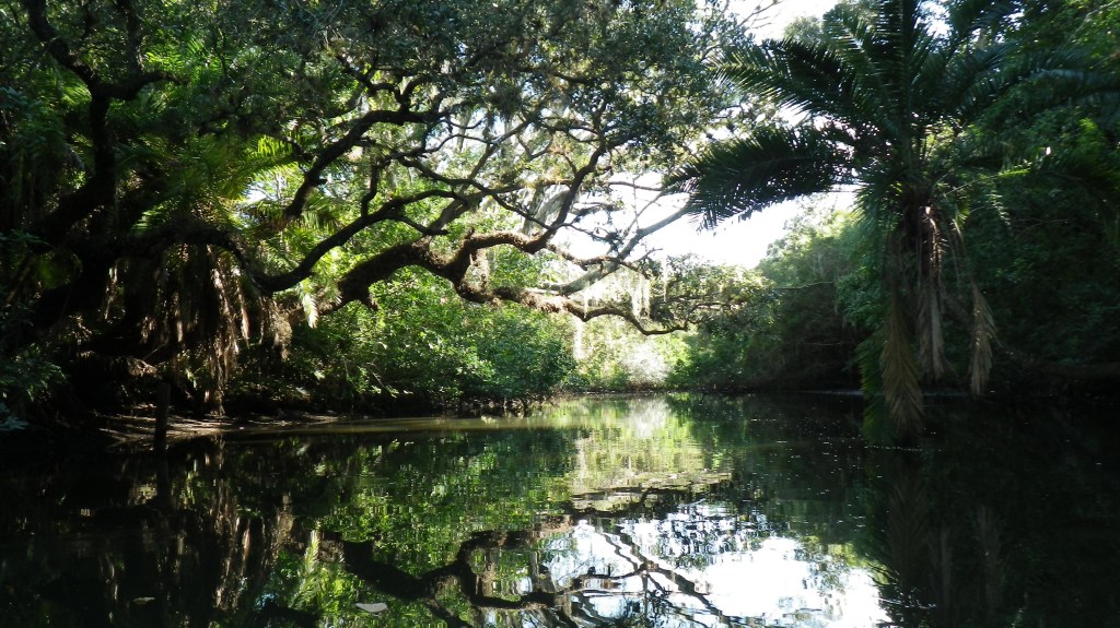
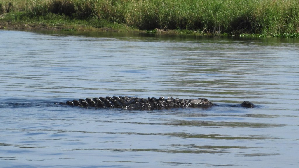
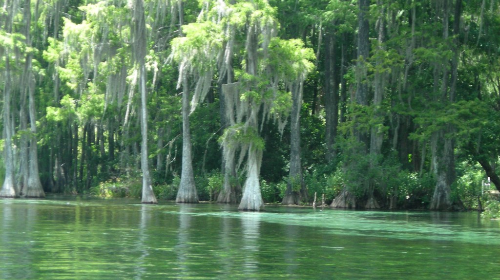
These waterways are designated by the state of Florida as outstanding when they meet specific requirements. Only 41 of Florida’s 1,700 rivers are designated as “outstanding.”
These waterways are designated by the state of Florida as outstanding when they meet specific requirements. Only 41 of Florida’s 1,700 rivers are designated as “outstanding.”