Feeds:
Posts
Comments

Posts Tagged ‘Paddling’

I call “do-over” on this one. I was never quite sure where I was!

I had hoped to paddle the upper Ochlocknee, a more narrow and twisted river. Failing to find an outfitter who would drop me, I decided on the Ochlockonee River State Park located on the lower Ochlocknee for a put-in. I intended to paddle the short distance from the Park’s put-in to Bear Creek. (Bear Creek connects two parts of the Ocklockonee on a loop.) I would then emerge back onto the Ocklockonee with a short paddle back to the put-in—about a 7.5 mile total paddle according to the Park’s map.

The Put-in at Ochlockonee River State Park

The Ocklockonee River originates somewhere in the swamps of Georgia. Its scape changes as it travels southeast and sometimes southwest and eventually the waterway twists and turns and empties into the Ochlockonee Bay. At the point of my put in, the river creates a camel’s hump. Bear Creek crosses through the hump.

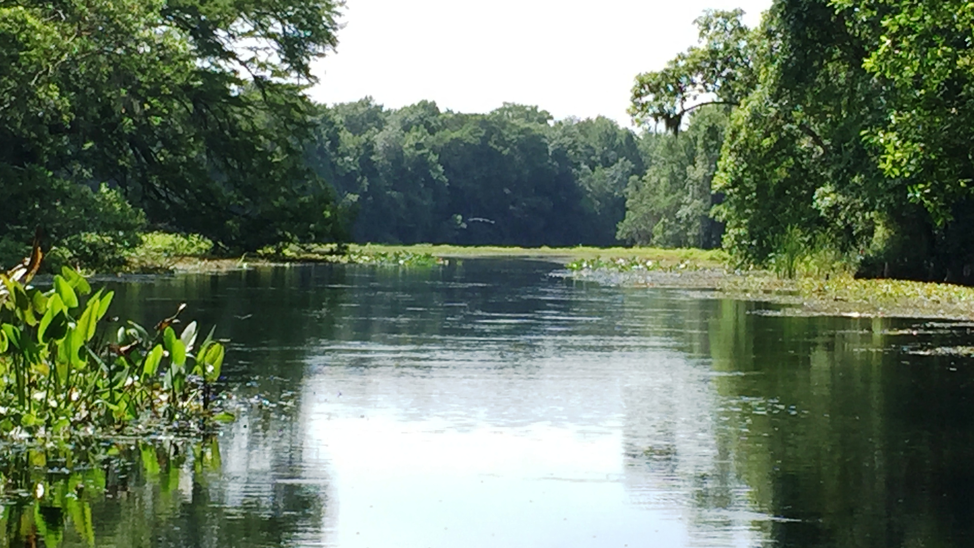
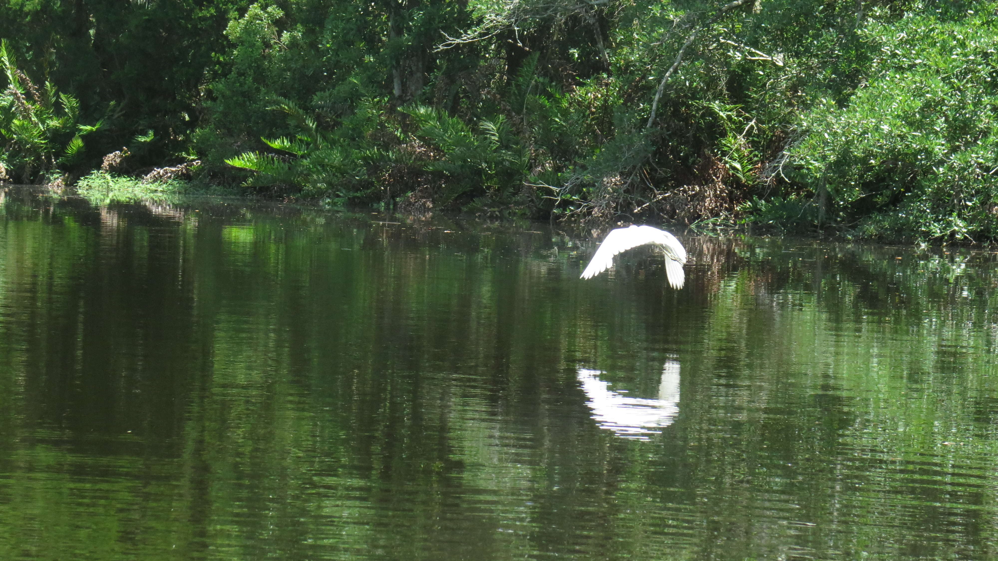
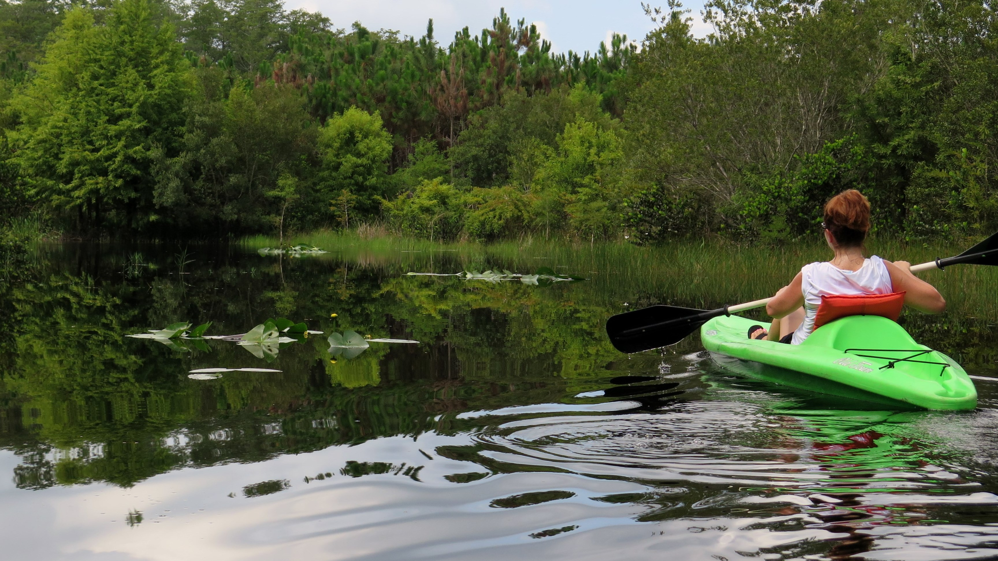
I put-in mid-morning, and although wide at this point, the river was quiet and peaceful and beautiful. I love being the only one on a river; there is nothing else as serene. I paddled south, southwest, the Park on my right–tall straight pines bidding me farewell from the shore. Birds called from the trees; blue herons waded by the water’s edge; and a swallow-tail kite flew overhead, a tasty breakfast in his talons.

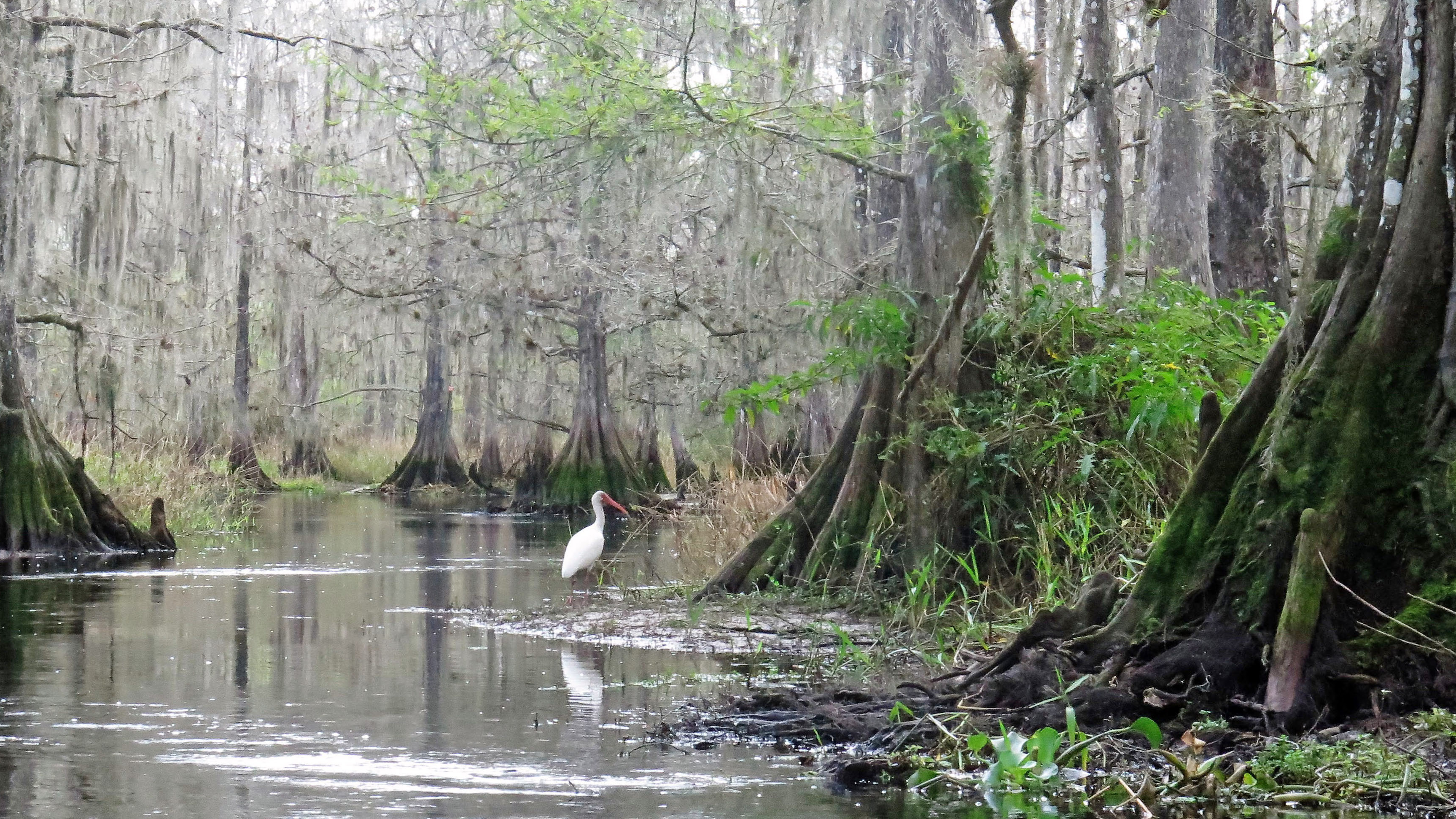
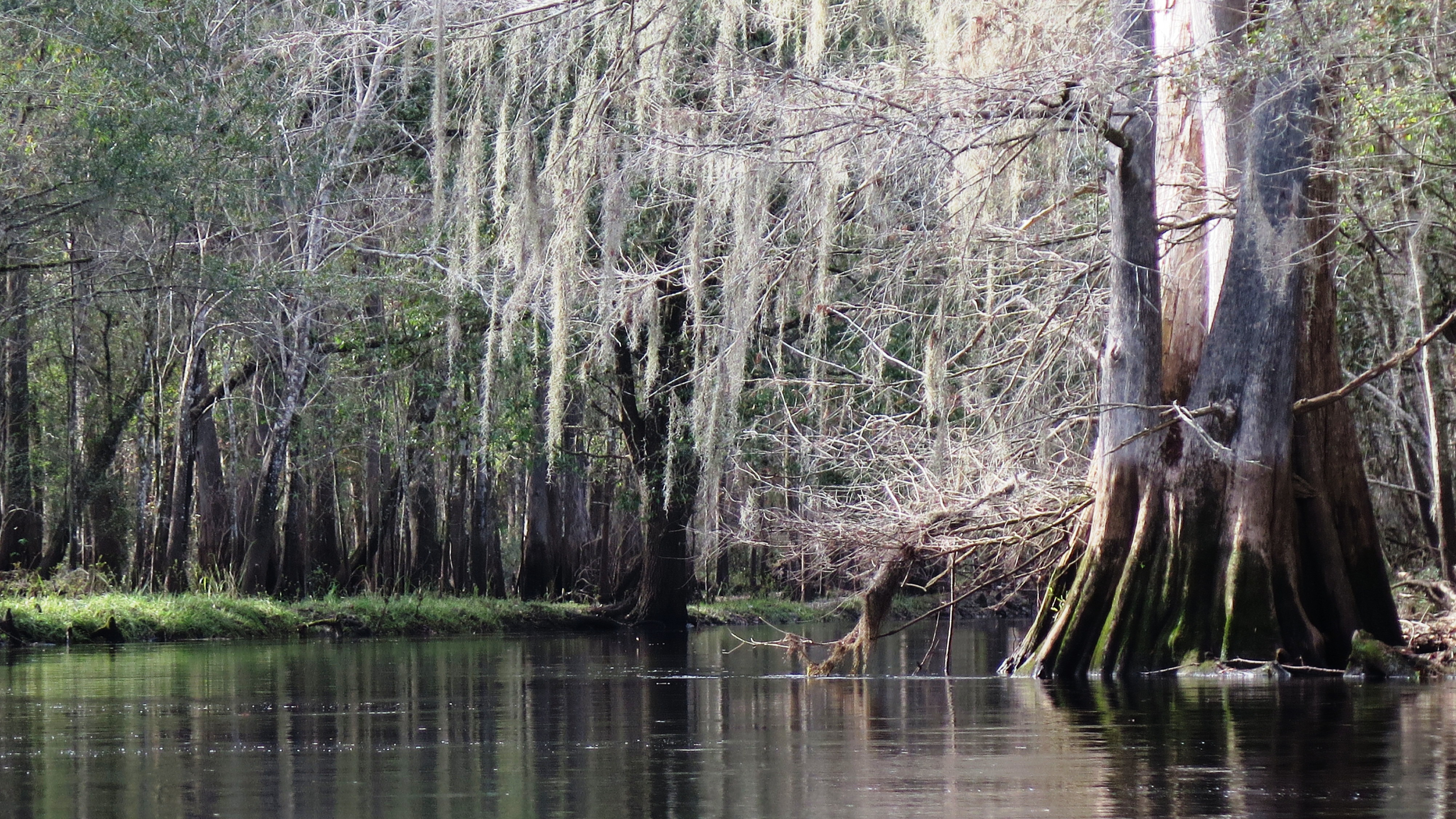
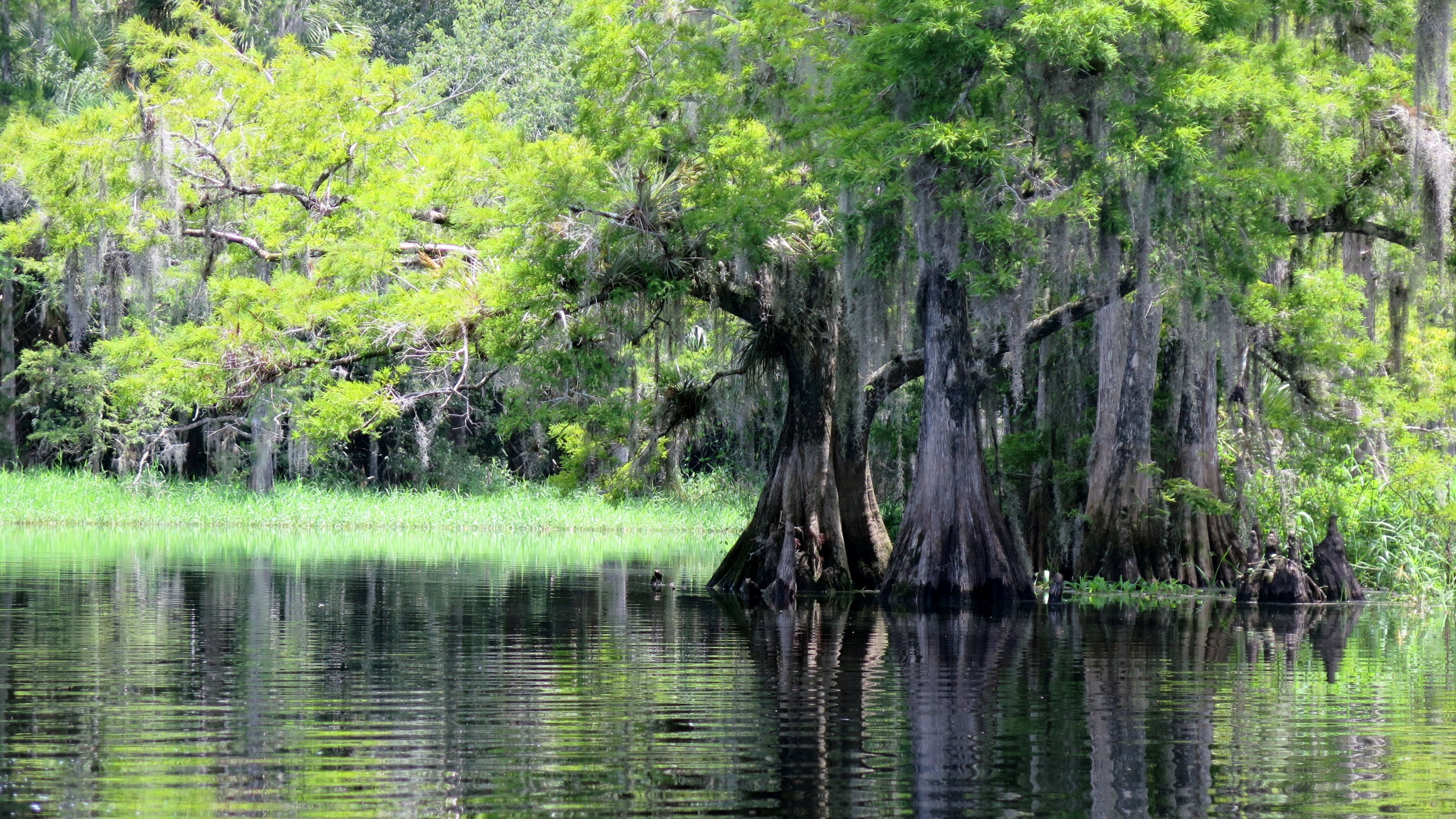
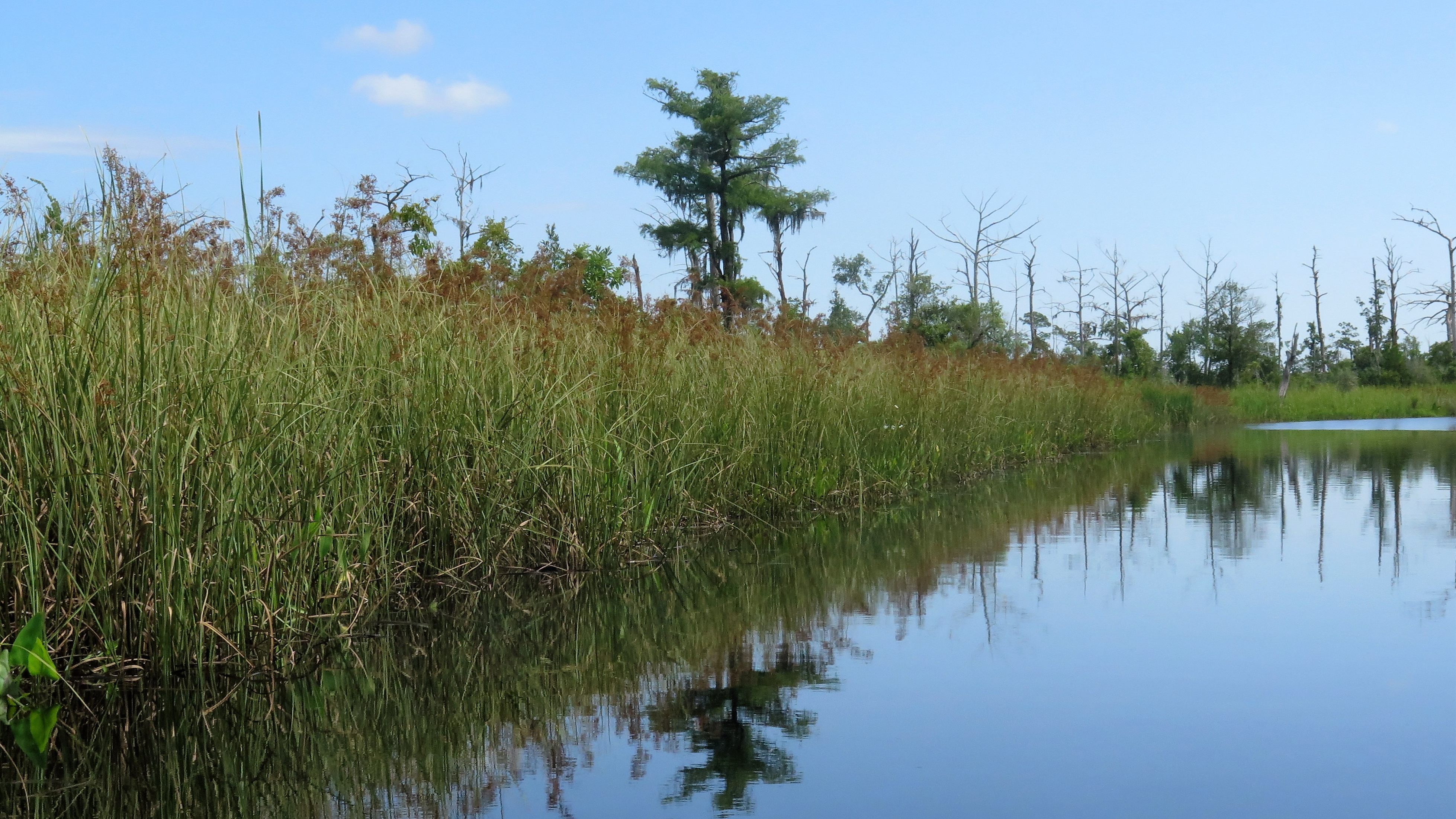
After about 20 minutes on the wide waterway, I entered Bear Creek on my left, immediately surrounded by tall swamp grasses. The creek was perhaps 50 to 70 feet wide with no shade, so I was grateful for the clouds overhead. Tall dead trees silhouetted the sky-many with either osprey or eagle nests on top. One tree had several eagles perched in and around the nest.

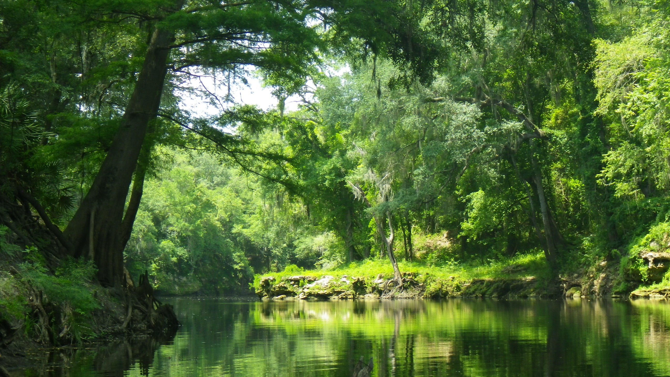
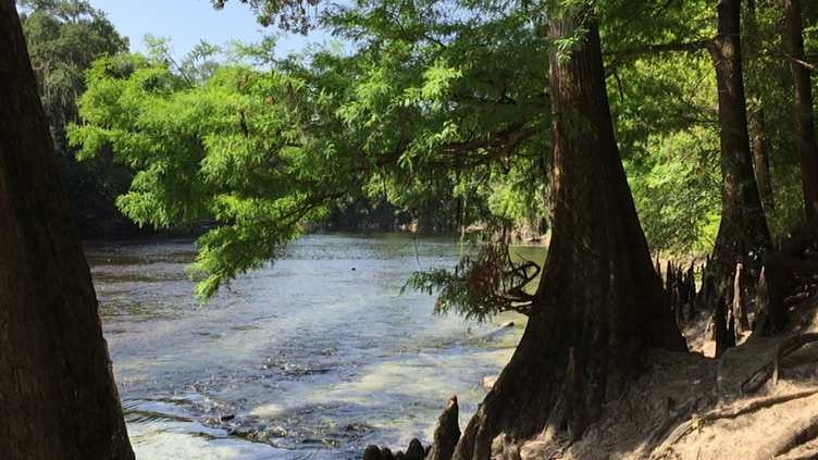
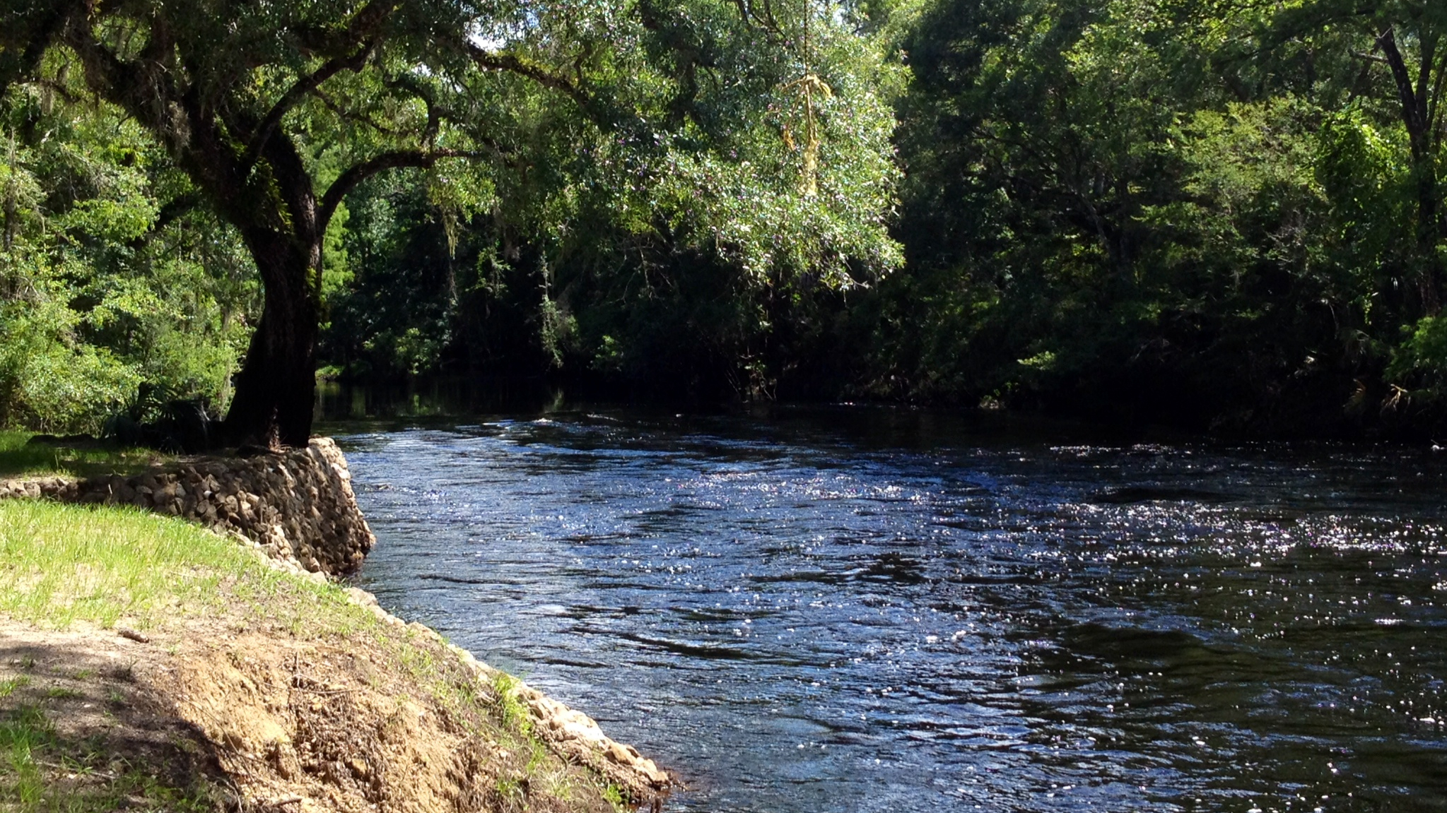
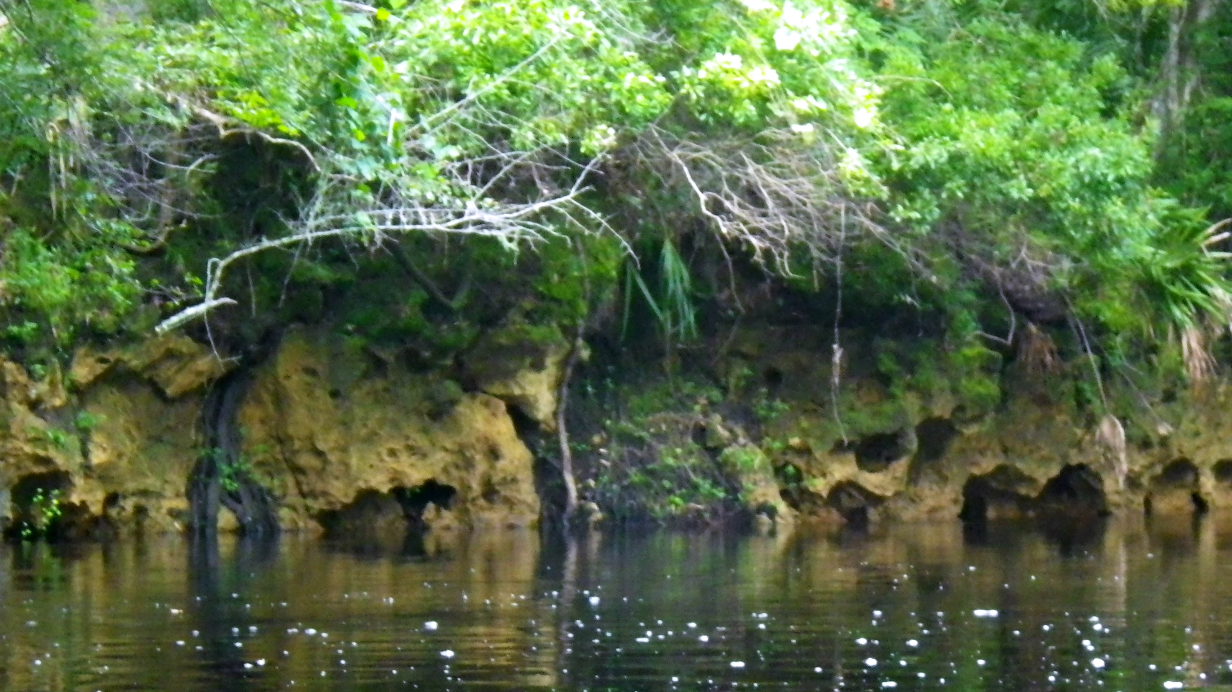
The sky darkened, and a slight, cool breeze caused me to think that it might rain. Alone on the dark waterway, I paddled, expecting my surroundings to change. Steven, the man at the Park’s guard gate (and coincidentally the son of an author of one my guide books) had told me that I would come to some shade and small cliffs. However, I continued to paddle through the tall swamp grasses.

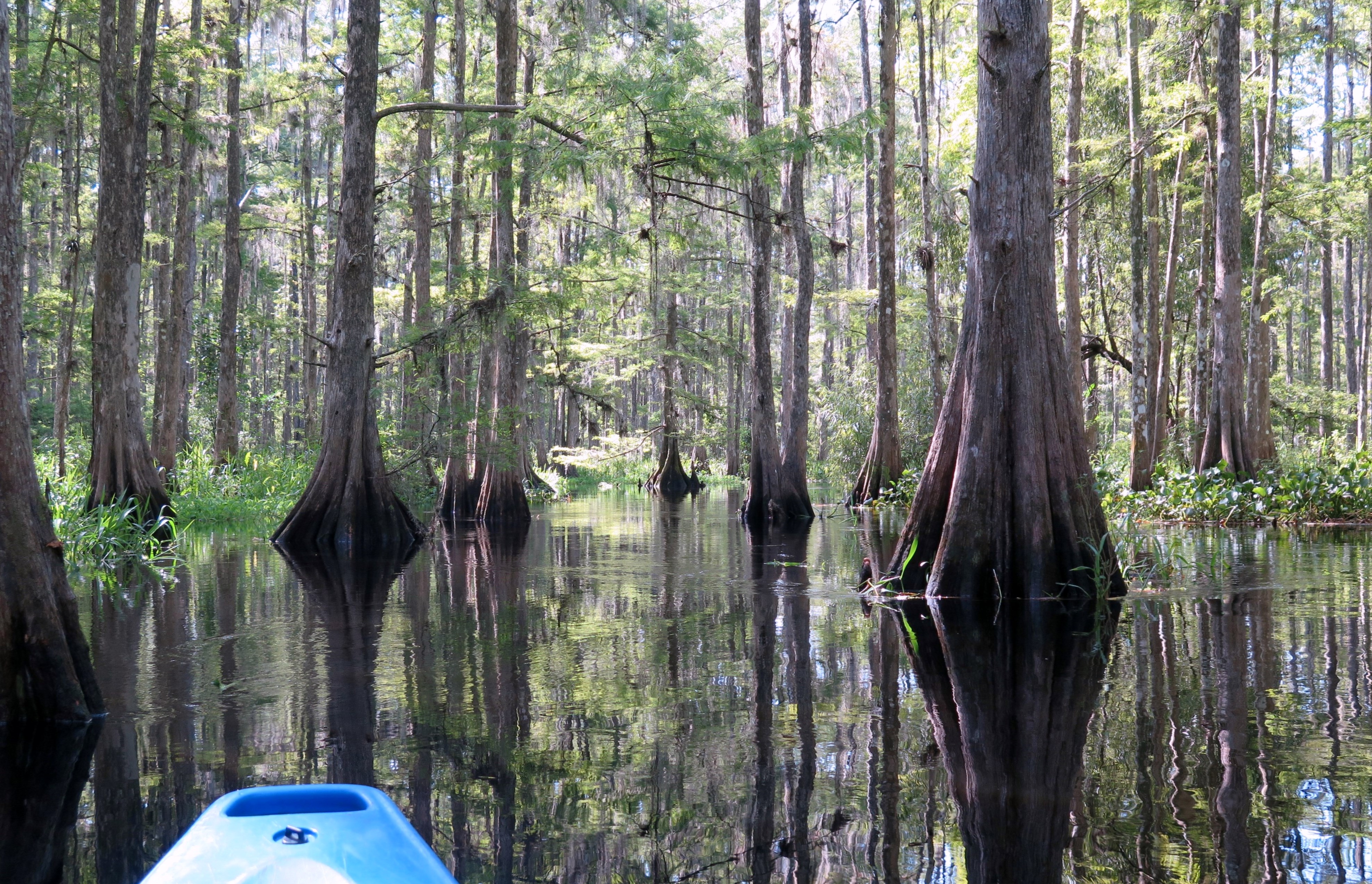
Something I did not expect—at two points in the creek, I had to decide—go right or left? The first time, I went left. Ten minutes into my paddle as the tall grasses encroached to the point where I could touch them on both sides, I realized I had made the wrong choice. Whoops! Below me in the water I could see a lone fish, long and pointed with spots, his fin above water. He paddled beside me for a bit, but was no help at all.

Tall Swamp Grasses on Bear Creek

The second time, I turned left first, scouted it out for a bit, then doubled back and went right. This is where I believe I went wrong. However, I can’t tell for certain with the maps I have found. I may have somehow connected with the Cow Creek. I’m not sure, but after about an hour of paddling, I knew I was not on Bear Creek. I checked my location on my phone the best I could (before I dropped my glasses into the water, that is), and it appeared I was in a waterway to the right of where I should have been. I called the park folks, and to their credit, they did not hesitate to tell me that they would send someone out to find me. But I wasn’t going to give up yet. I paddled awhile longer and eventually came out…strangely, just south of where I went in—Cow Creek?

I had put in that morning at 10:45, expecting to return around 3:00. Here, I was back by 1:15. Sadly, I never saw Bear Creek Bluff, and I didn’t have the time to start over again. Thus, my need for a “do-over.”

The red trail on the park map shows my intended trail. The waterway to the south of where I entered Bear Creek (left) I believe is Cow Creek and where I came out.

For some great reading about the Ochlockonee River, try this site.

(Ochlockonee River State Park. 429 State Park Road, Sopchoppy, FL 32358. (850) 962-2771. Stephen Carter)

Read Full Post »

Hello, old friend. Happy New Year!

I paddled my first Florida river in July 2010 and have paddled over forty Florida rivers since. Unquestionably, Fisheating Creek holds a place in my top five. I love this waterway!

Entering the Cypress Swamp

As I have done in the past (because I have yet to buy my own kayak, and I need a drop anyway), I rented a kayak from the Fisheating Creek Outpost in Palmdale. (The people are great; the kayaks, a bit worn.) They dropped me, along with five others, around 10:00 a.m. at the Burnt Bridge put-in, giving us an eight-mile paddle back to the outpost—about four hours. I waited to put in last, standing on the shore and taking it all in. Fish jumped as if playing a tune on a xylophone, and then, seemingly on cue, an alligator glided slowly along the top of the water in the distance. It all appeared to be an opening number of a musical, a glimpse of something wonderful yet to come.

This would be my third paddle on Fisheating Creek. I paddled it in October 2011 and July 2014—both times with a much higher water level. The level on New Year’s Day was just over three feet. To paddle without portaging requires a minimum of one and a half feet. I would not want to portage on this creek with as many gators as I saw this day.

I paddled away from the shore, feeling somewhat secure that I had remembered to bring my snake knife this time! Tall cypress, turned brown and draped in moss shrouds and air plants, framed the waterway. Twenty minutes into my paddle, I entered the cypress swamp—my favorite part—and paddled among the cypress trees, twisting left, then right, the landscape deserving the front cover of a nature magazine. Paddling this creek for the third time, I have discovered that it’s pretty darn important to watch for the small kayak signs to stay on the trail. More than once I had to turn around and find the trail again.

White Ibis on Fisheating Creek

The other paddlers had gone ahead, so I was alone in the swamp, enjoying the sweet melody of bird sounds—such as the honking of the ibis and croaking of the great blue herons. (I know, melodious, right?) I paddled past wood storks—happy to see them amongst the others, and lots of vultures, egrets, anhinga and cormorants. Gators sun bathed on the shore, not bothered when I paused to take a picture–while others bobbed in the water as I floated by. I spotted more gators than ever—perhaps due to the low water level forcing them closer to the trail. At times, I had to choose my path—to the left or right—based on gator sightings.

About three hours into my paddle, I spotted a patch of sand on the side of the creek and pulled up for a quick stretch before paddling the last hour on this beautiful waterway. (Sigh) What a great way to begin the New Year!

(Fisheating Creek Outpost. 7555 US Highway 27 North. Palmdale, FL 33944. https://fisheatingcreekoutpost.com/. (863) 675-5999)

Read Full Post »

Seeking a little nature and serenity and needing a bit of exercise after the Christmas holiday, my sister, Missy, and I grabbed a quick paddle at De Leon Springs. De Leon Springs forms the headwaters of Spring Garden Creek in Volusia County–which flows for four miles from the springs to Lake Woodruff and another six miles to the St. John’s River. We intended only a short paddle this day–an out and back, about two hours.

Old Spanish Sugar Mill Restaurant at De Leon Springs

We rented kayaks at the onsite concession in the park, walked past the beautiful live oaks and the many sunbathers along the banks of the springs, hopped aboard our vessels, and paddled away. Missy spotted a manatee immediately and paddled along side if for a bit. Then, we headed down Spring Garden Creek towards Lake Woodruff. We had yet to have winter weather here in Florida, so it was a pleasant day–if not a little warm on the wide waterway. We kept to the shore, trying to catch a little shade.

The waterway was quiet–with the exception of an occasional boat. No surprise that we spotted many birds along the shore–herons (great, blue, tri), egrets, ibis, coots, cormorants, anhingas, and osprey, as the park is on the Great Florida Wildlife and Birding Trail. We never did make it to the lake, but we enjoyed the paddle and our brief encounter with nature.

(Outfitter: DeLeon Springs State Park Concession. 601 Ponce de Leon Blvd, De Leon Springs, FL 32130. (386) 985-4212)

Read Full Post »

I paddled through the shallow, swampy waterway, around the cypress and swamp weeds, and emerged onto the Wacissa River. Long eel grasses waved in the cool, clear water beneath me. Around me, the river was wide and bordered with beautiful cypress, oak, maple, tupelo and pine trees…an “Old Florida” postcard.

Emerging Onto the Wacissa River

The Wacissa River begins close to where I put in—in the swamp with a couple small springs. However, the larger Big Blue Spring is considered the headwaters of the river. The river runs about 14 miles and ends as it flows into the Aucilla River by way of a man-made canal. About a dozen springs add to the flow of the Wacissa (Carter et al.).

I paddled south, towards Big Blue. An orchard of water plants, such as Pickerel weed, forced me to the middle of the river, away from the shade of the banks. The thought crossed my mind more than once that I should have saved this river for cooler weather! The water deepened, and below me, invasive hydrilla—like thick masses of dreadlocks—blocked much of the view of the sandy bottom.

As much as the water plants kept me from shade, they were also alive with sounds of screeching and squawking birds. I saw blue heron, common moorhen, and egrets. I paddled past the frolickers at the Wacissa County Park—splashing around, trying to keep cool on this very hot day. A couple young boys in a canoe had hooked a small gator—and neither the boys nor the gator seemed to want to give up the lure.

Big Blue Spring on the Wacissa River

I arrived at Big Blue Spring, delighted to find shade at last. I paddled over the Spring and peered into the clear water—beautiful shades of blue and green. However, the hydrilla growing in and around the Spring kept me from dipping. The ickiness of it all did not tempt me!

On my paddle back to the outfitter, I discovered that the river had many little nooks and crannies to explore which gave me a break from the sun. It really was a lovely river.

(Wacissa Canoe and Kayak. 290 Wacissa Springs Road, Monticello, FL 32344. (850) 997-5023)

Read Full Post »

Yippee for summer vacation! I headed to North Florida to paddle a few rivers. I had selected three: the Withlacoochee River North, the Wacissa, and Holmes. I stayed two nights in Live Oak, a very tiny town—and apparently “recently wet.” (a new term I learned from a bartender at what I believe was the only restaurant that sold liquor in Live Oak)

Lush Green on the Withlacoochee River North

Sunday morning, I headed to Withlacoochee River North, renting a kayak from Lucas at the Suwannee River Canoe Rental. Lucas dropped me at Blue Spring about 10:30 a.m.—not nearly early enough to beat the many families already splashing around in the clear cool water. Where else would one go on such a hot day? It was in the 90s, but it would feel in the 100s by mid-afternoon. Lucas would pick me up at the Suwannee River State Park—a 12-mile paddle from here (longer than usual for me!). It would take me about 6 hours—did I mention how hot it was?

There are two Withlacoochee Rivers in Florida. I have paddled the Withlacoochee River South—which originates in the Green Swamp—twice. I loved it. The Withlacoochee River North originates in Georgia. Its black waters flow about 70 miles in Georgia and then another 32 miles in Florida before the river finally flows into the Suwannee River. I would be paddling the final 12 miles of the river.

Lucas had told me that given the choice, most people chose the Suwannee over the Withlacoochee. He explained that the Suwannee has higher limestone banks and more sandy beaches for paddling picnics. I paddled the Suwannee a few years ago, and although beautiful, I had been surprised at the amount of trash along the river. The price of being popular, I suppose.

I paddled south and took in the “Withs” limestone banks, etched out by the movement of the water over the years which created beautiful designs and little caverns. The surrounding green forest of cypress, oak, maple and tupelo trees shaded the edges of the river, giving me a little break from the hot sun. Moss hung from the trees as if stretching to reach the river. Dark green ferns poured down the banks. This picturesque scene only needed a plantation to complete it. What a beautiful river!

Shoals on the Withlacoochee

Large fish jumped around me as I paddled. I laughed, thinking one would land in my kayak. Herons, hawks, turkey vultures, ducks and turtles braved the heat. I passed only an occasional paddler or flat-bottom boater along the way. I stopped by other springs, smaller than Blue: Pott, Tanner, and Suwanacoochee.

I heard the shoals before I saw them. Seriously, I thought I was approaching a sizeable water fall! But alas, most of the shoals were quite harmless. The final two shoals were much more fun, and the last one included a little white water as well! The small soaking I received helped to cool me down. Just after the last shoal, I spotted a deer on the west bank that had come to the river for a sip of cool, spring water.

As much as I loved paddling the Withlacoochee, after six and a half hours, I was happy to see the Suwannee River. Lucas was already there waiting for me.

(Outfitter: Suwannee River Canoe Rental. U.S. Highway 90, 4404 193rd Drive, live Oak, GL 32060. https://www.suwanneerivercanoerental.com/. (386) 364-4185. Lucas)

Read Full Post »

Spring term at the College had ended, and I desperately needed a get away! Don’t get me wrong; I love my job. However, the time had come to pull out my river guide books and my map and find a new paddle destination. I selected the Pithlachascotee River on the west coast.

A Quiet Day on the Cotee

It has taken me several years to get around to paddling the Pithlachascotee River—or the “Cotee” as those who know it well refer to it. I love the winding, twisting, secluded rivers—drop me in the swamp with no humans for miles around, and I’m happy. Much of the Cotee is an urban river, flowing through the town of New Port Richie—with the houses and busy boat traffic that accompany a wider, urban river. Thus, the delay.

So, I paddled the Cotee on a Friday morning, and I managed to avoid human contact almost completely. I put in at the James E. Grey Preserve–renting a kayak from Gill Dawg Marina (They dropped off and picked up!). I headed east, towards the river’s source, curious to see how far I could paddle before the fallen trees forced me to turn around.

The blackwaters of the Cotee flow about 25 miles from its source to the Gulf. The five-mile paddle from the Rowan Road Bridge to the Francis Avenue City Park is the official canoe trail. I planned to travel from the Preserve, east to Rowan Bridge and beyond, and then turn around and paddle west past my put in to the Francis Avenue City Park, and then, back to the Preserve.

I found the portion from my put-in at the Preserve to the bridge (east) and beyond, challenging—but lots of fun! I made the bridge in about 20 minutes and was able to paddle for another 30 minutes before I was forced to turn around. Along the way, the trees and brush dusted me with twigs and webs as I scrapped between fallen branches. I got stuck on submerged logs several times, and I was grateful to be in a sit-on-top kayak and able to hang my legs outside the kayak to shove myself off (a pretty picture, I know!).

A Heron on the Cotee

I saw little wildlife as I paddled—an occasional heron and a few turtles sunning themselves. Fish jumped around me in the murky waters. Heading west, the canopy disappeared, and the river widened and took on an estuarine quality, tall sea grasses lining the banks. Once I reached the Francis Avenue City Park, I made my turn and paddled back to the Preserve.

(Outfitter: Gill Dawg Marina. 5419 Treadway Drive, Port Richey, FL 34668. https://www.gilldawg.com/get-on-the-water/. (727) 842-1070)

Read Full Post »

For the New Year, I chose Withlacoochee River South as my “old” river—one which I had previously paddled. Coincidentally, I had paddled this river for the first time two years ago on the same day—December 28. I love, love, love this river; this is a “must paddle” river for anyone who enjoys nature, peaceful serenity, and paddling.

Bare Cypress Adorned with Moss

Withlacoochee is a Native American term that means, “little big water” or “crooked river.” When I paddled the “With” two years ago, the water level was low—a “little water.” Although Jacqui, operator of the RV

Park, dropped me as close as she could to the river’s source, the Lacoochee Park put-in, I had wanted to be closer. This time, with the water level higher, a “big water,” she dropped me deeper into the forest, at the High Bluff put in—closer to the river’s source but still about a two-hour paddle away. From High Bluff, I expected at least a 3-hour paddle back to the RV Park, so I decided not to paddle deeper into the swamp before heading west and back to the outfitter.

On the drive to High Bluff, Jacqui pointed out the site where the Cummer Sons Cypress Company sawmill once stood. The Cummer brothers built the mill in 1922, and for nearly four decades until the mill closed in 1959, Lacoochee prospered and grew (East Pasco Historical Society) —at the expense of the cypress, of course.

So, I paddled away from the High Bluff put-in. I wore an orange vest as I did two years earlier; it was hunting season (hogs and deer). It felt like winter on the river. Tall cypress, now bare except for moss that hung like tinsel on last year’s Christmas trees, surrounded me. I felt grateful that the Cummer brothers had left some cypress for me to enjoy. What a beautiful river!

Lost in the river’s magic and to the outside world, I moved with the swift, gentle current. The high waters had flooded over many banks and into the trees, leaving me to wonder, at times, whether I was still on the river or had floated into the watery forest. Dark bands around tree trunks revealed to me that this “little big river” could get bigger still. High waters had forced the wading birds (cormorants, egrets, and ibis) deeper into the woods, and the river remained quiet with the exception of the occasional splash of a gator’s belly flop.

An Occasional Bird Appears

The river was awesome, and I was awestruck. Old wood-framed houses began to pop up as I neared the outfitter—way earlier than I expected. I arrived at the outfitters in less than two hours from my put-in.

(Withlacoochee RV Park and Canoe Rental. 39847 State Road 575, Lacoochee, FL. (352) 583-4778)

Read Full Post »

I’ve been paddling Florida rivers about four years now, and there’s no question that I would give Fisheating Creek four stars as one of my favorite paddles. I first paddled Fisheating in October 2011 with a friend—and what an awesome experience! Only a two-hour drive from home, I chose this as my next “re-paddle destination.”

Beautiful Cypress on Fisheating Creek

I rented my kayak from Fisheating Creek Outpost in Palmdale, and Mike dropped me—along with eight others—at the Burnt Bridge put-in around 9:30. This is the same paddle I did three years earlier, about 8 miles, 4 hours. On the way to the put-in, we passed through two locked gates and over the Lykes Brothers’ property. Mike pointed out a crested caracara sitting atop an old tree. He told us to watch for panthers in the fields as several had been spotted recently. I listened to the folks traveling with me as they chatted about snakes they’ve encountered on their paddles, and I cursed that I had left my snake knife in the car. We arrived at the put-in and piled out of the van, but stood aside while Mike first scooted a couple small gators away from the beach!

Fisheating Creek flows into Lake Okeechobee, apparently the only free-flowing tributary that does. Paddling it, it seemed three different waterways to me. At the Burnt Bridge put-in, the creek was wide, tall cypress dripping with Spanish moss and air plants on each side. Within 30 minutes, I paddled into the cypress swamp and twisted and turned around the cypress and their knobby knees, trying to follow the swift tannin-colored flow. When I emerged from the swamp, I entered a creek, smaller than the original but with a more definite path than the swamp trail. Now, I paddled around grass islands. For the next few hours, my paddle continued in this manner with the ever-changing waterway.

Entering the Cypress Wonderland

I love that Fisheating feels so wild! There are no homes along the banks, just beautiful tall cypress. Much of the creek lies within the Fisheating Creek Wildlife Management Area, purchased from the Lykes Brothers years ago. I heard few sounds other than the ibis honking loudly from the swamp floor. I paddled under the hot sun, appreciating the occasional cloud that gave me shade. A crested caracara flew overhead; a few small gators bobbed in the water as I passed; an anhinga stood on a log, scouting for lunch. Life was good.

I just love Fisheating Creek—still an awesome paddle!

(Fisheating Creek Outpost. 7555 US Highway 27 North. Palmdale, FL 33944. https://fisheatingcreekoutpost.com/. (863) 675-5999)

Read Full Post »

Having spent the last two months moving and renovating my new condo, I have not had time to take my usual summer paddling vacation to the far corners of Florida. However, I have made a couple return trips to some of my favorite paddling destinations closer to me—one of them Loxahatchee River in Jupiter, Florida. This time, I brought along a good friend, Barb.

Barb Paddles Riverbend Park

We’ve had a rainy summer in Florida this year, and the rain started as Barb and I drove I-95 to get to the park. We vowed then to paddle rain or shine! Magically, the sun poked through by the time we arrived at the park, and the rain stayed away for the next few hours. All this South Florida rain did have its benefits, though, as the Riverbend trip is not always open at the park as it relies on the higher water level.

What I like best about the Riverbend paddle (besides the beautiful scenery and safe location) is that the scenery changes every few minutes. It’s a 5.5 mile paddle that begins and ends in the Loxahatchee River but travels through various sections of the park in between. It passes through fun-sounding places such as Picnic Loop, East Slough, Cow Pond, West Lake, Hunters Run and South Pond. Within the paddle are two portages—easy enough. Along the way, we spotted bikers, walkers, and even a painter! We stopped along West Lake for a stretch and a snack before moving on. I had looked forward to our paddle through the large culverts and the cypress knees, but dang if we made a wrong turn somewhere and ended our trip without passing through them!

Even without the culverts and the knees, we had a great paddle and a fun day at Riverbend. We ended our outing with lunch at Guanabanas in Jupiter—what could be better?

(Outfitter: Riverbend Rentals in Riverbend Park. 9060 W. Indiantown Road, Jupiter, FL 33478. https://www.jupiteroutdoorcenter.com/riverbend-park/rentals/. (561) 746-7053).

Read Full Post »

The Steinhatchee River had been on my list of rivers to paddle for some time, so I was happy to make the five-hour drive.  My attempt to paddle it last year had been throttled due to heavy rains that resulted in closed access at the Falls. Apparently, the waters had gotten so high and so fast that the paddle from the Falls to town, which typically takes about three hours, had some locals back in town in less than two!

High Waters at the Steinhatchee Falls

So, wisely, this year, I called the State prior to making the journey to confirm that there would be access. (Florida Water Commission, 904-359-3883) I later discovered that the Suwannee River Water Management District has a great website that monitors water levels and closings.

The Steinhatchee River (Native Americans named it “esteen hatchee” which means“river of man”) originates in Mallory Swamp in Lafayette County, and as it travels southwest to eventually empty into Deadman’s Bay, it picks up water from various springs (including Steinhatchee Springs) and creeks along the way. At one point—at US 19—it even goes underground when it flows into a sink, and it re-emerges about a half mile later—a couple miles above the Falls.

I planned my paddle for a weekday to avoid the weekend crowds, and the folks at Steinhatchee Landings Resort dropped me at the access in the Steinhatchee Falls Park. I put in on the west side of what would have been the Steinhatchee Falls—if the water level had been lower. Only little bubbles atop the water hinted at the 1-3 foot limestone drop now hidden under high waters. Suspecting that the river might be fast, I busied myself strapping everything down in my kayak. Next to me, a young local couple prepped to drop lines from their flat bottom boat. Watching as I loaded my kayak, the woman twanged “You paddling alone?” When I nodded, she added, “What if you flip? Who will help you?” I quickly double checked my straps.

Limestone Banks Etched by Moving Waters

I climbed in my kayak and paddled away from the shore, relishing the peaceful tranquility the river always brings. For the first hour or so, I paddled a quiet, wild river, cypress and oaks providing me with refreshing shade. Limestone ledges hung over the water, etched by the water movement over many years. Large roots like long arms reached out from low banks and curved down towards the water. Birds called to each other from the woods, preferring its cool darkness to the hot sun. I hung my feet over the sides of the kayak and let them dangle in the cool, dark waters.

Midway through my paddle, the landscape began to change as old wood-framed cottages appeared, mostly on the north bank. Just as I spotted my first “watch for manatee” sign, the river took on an estuarine quality, and was now bordered by lilies, tall sea grasses, leather ferns, and sea grapes. This wider river offered little shade for a summertime paddle. As I neared the Landings Resort, more private residences, docks and marinas appeared on the banks.

In the end, I managed to stay upright throughout the seven-mile paddle; the river really wasn’t all that fast. It took me just over three hours with a couple short side trips on small creeks that entered the river. I made it back long before the rains came.

(Steinhatchee Landing Resort. Highway 51 North. Steinhatchee, Fl. 32359. (352) 498-3513.)

Read Full Post »

« Newer Posts - Older Posts »

%d bloggers like this: