With all the heavy rains we had this summer, I expected a wet trail. However, I did not expect a day of water aerobics!
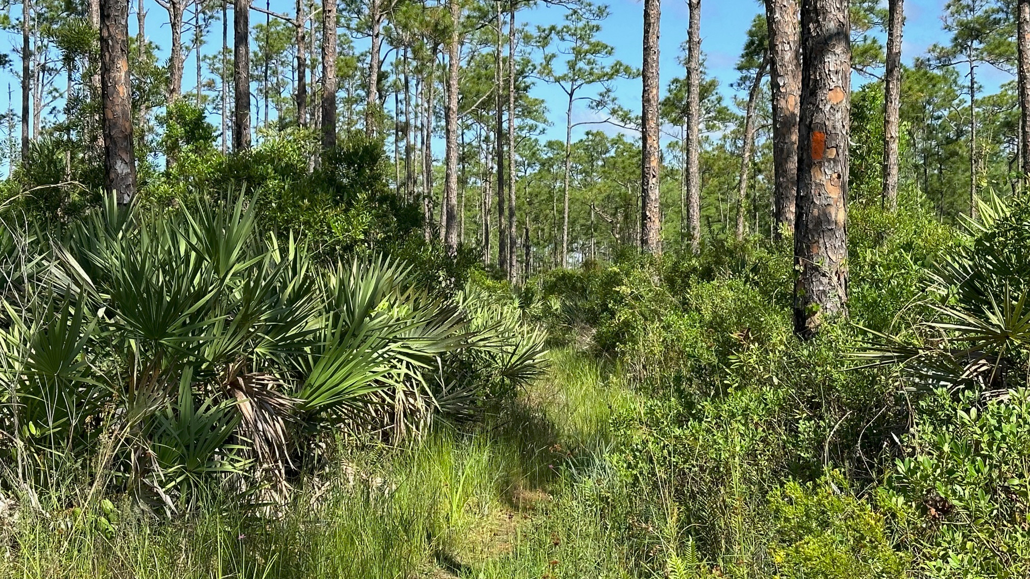
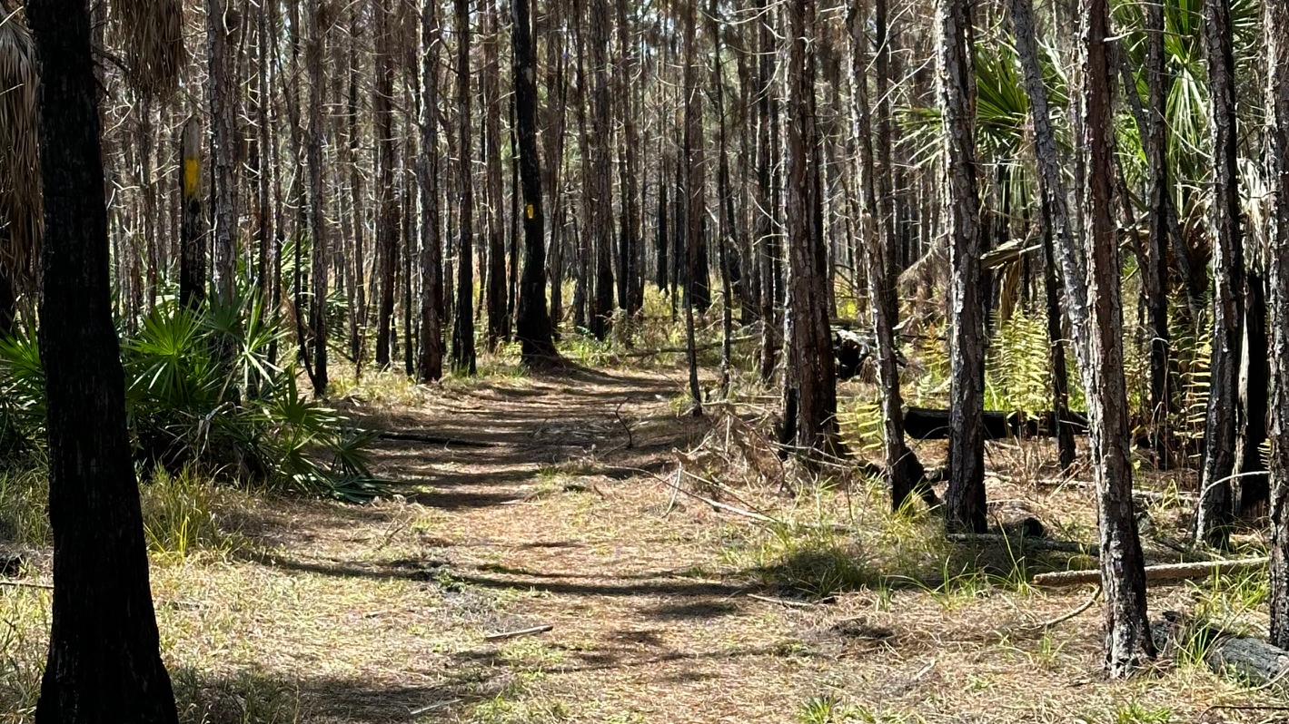
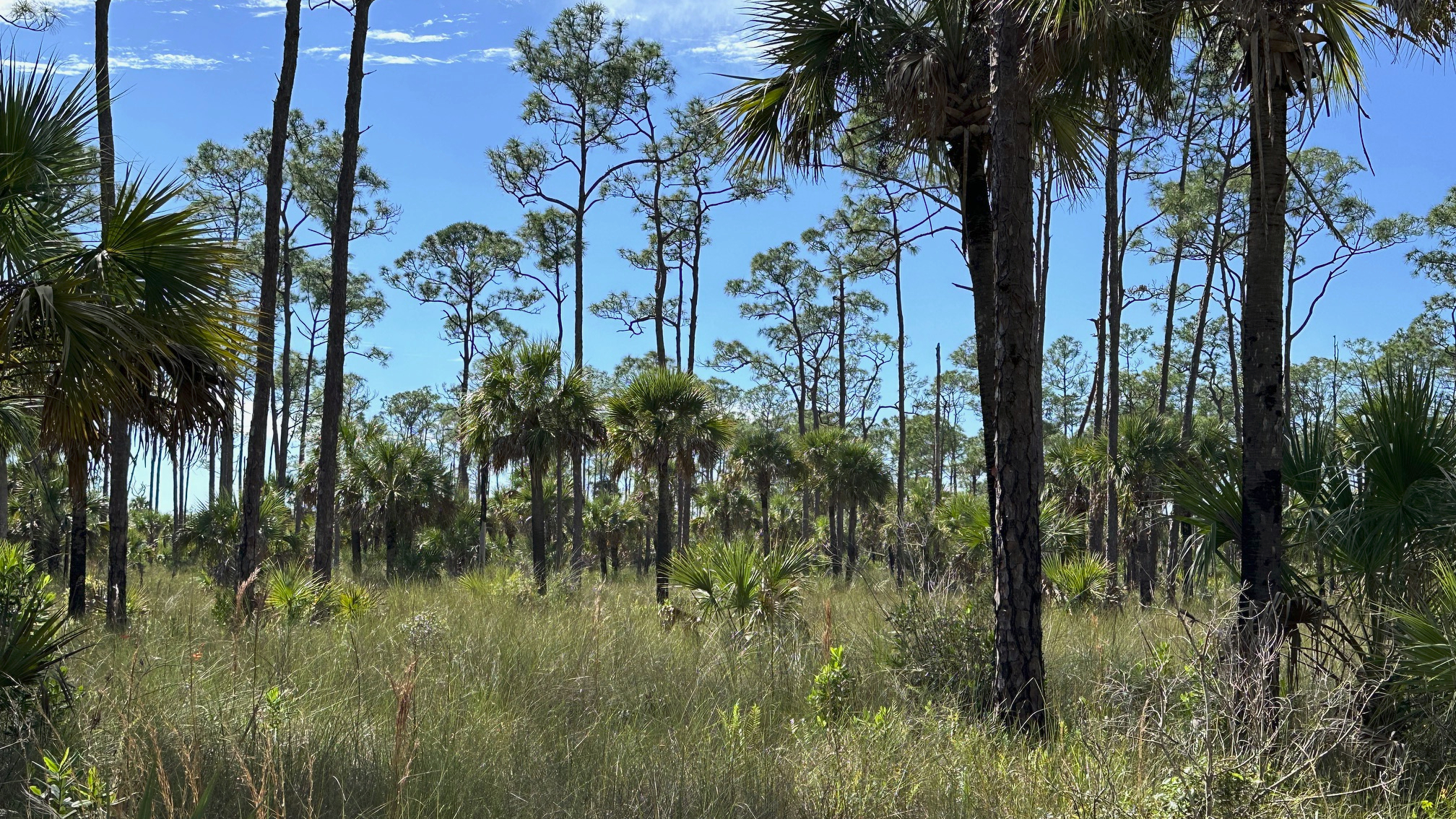
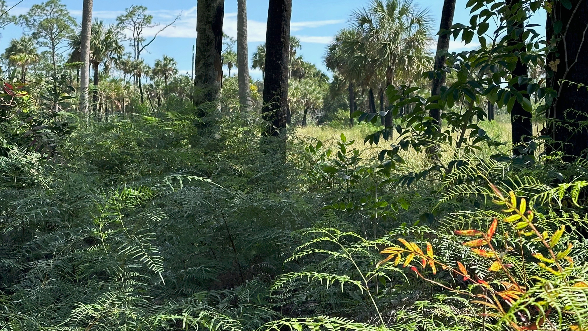
With two sections of the Ocean to Lake (OTL) Trail left to hike, I did not want to let a little rain get in my way. I began my hike on Powerline Road just south of where the OTL crosses it. I walked along the road, turned east onto the trail, stepped over a gate, and began my hike. The dry trail gave me hope, as I entered the pine forest.
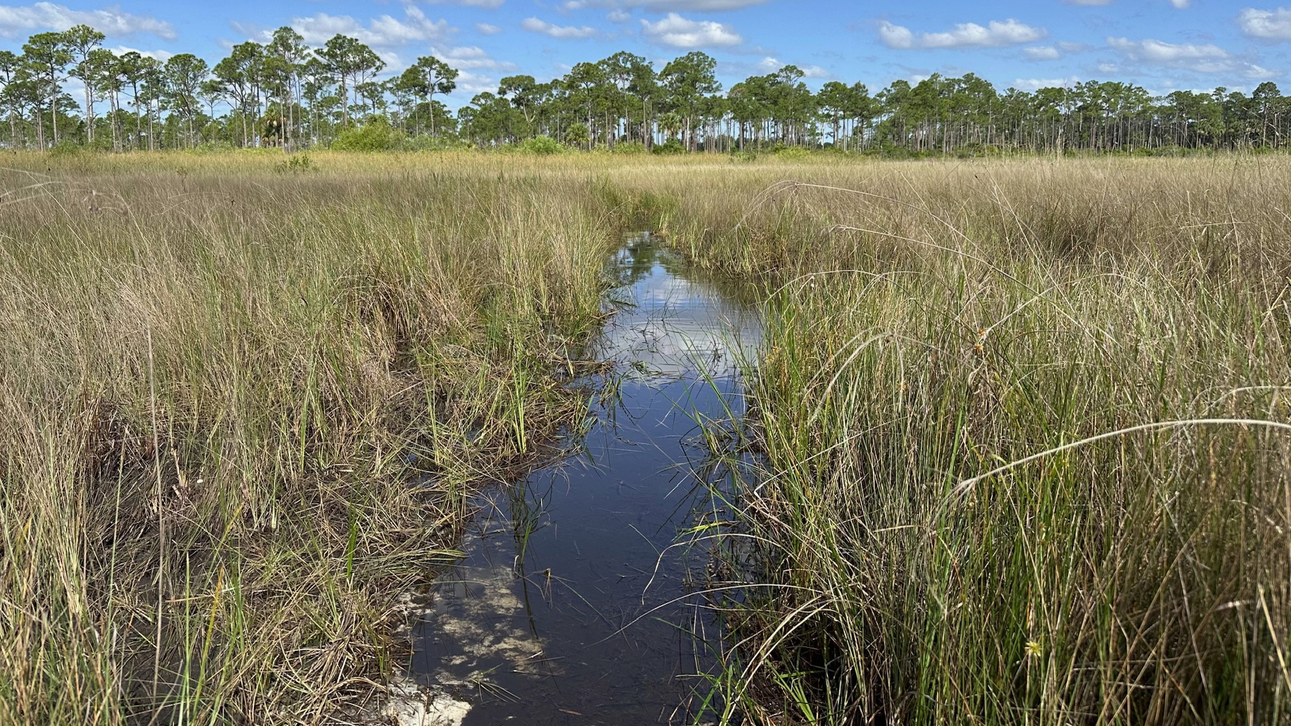
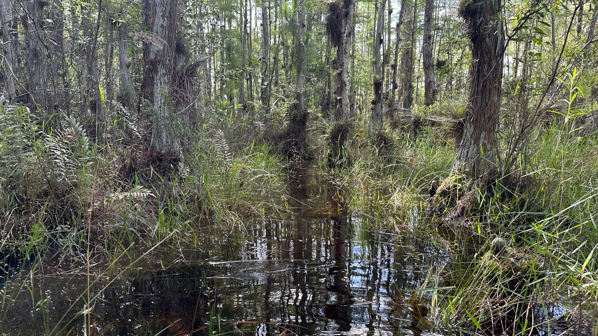
However, very shortly after I began my hike, I came to water—and not the kind that I could walk around. So, I began sloshing, my snake radar on high alert for snakes and any other water-loving creatures.
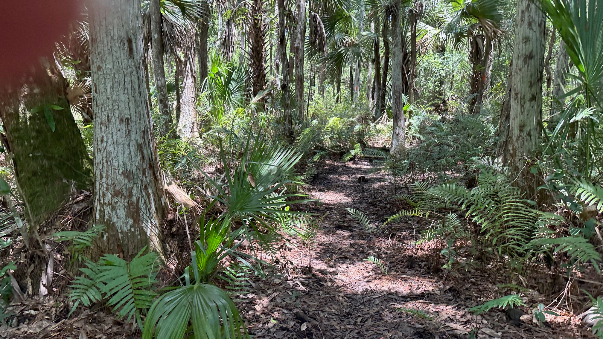
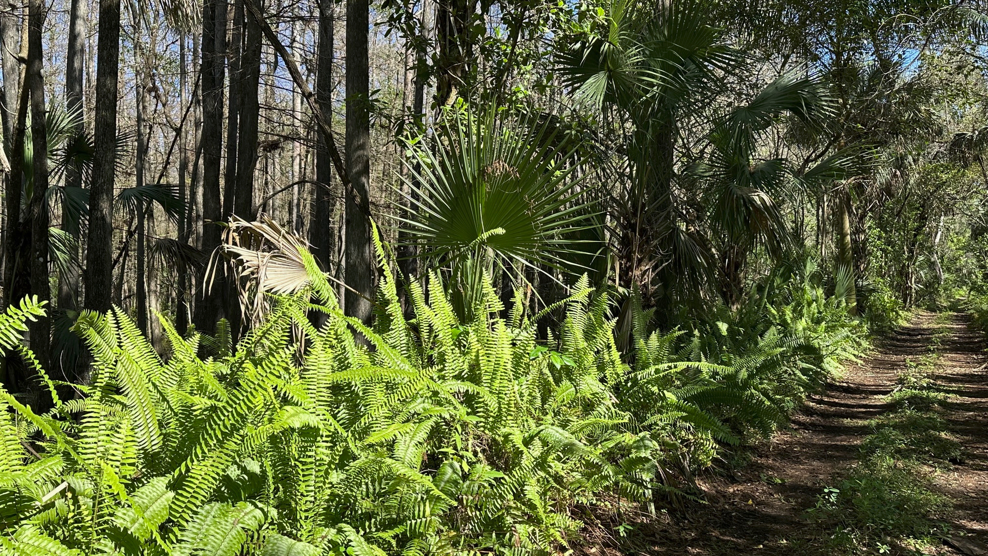
Other than the noise I was making, my hike was quiet. Bromeliads and air plants clung to the cypress. Birds flew from tree to tree. I emerged from a cypress strand onto a short section of somewhat dry trail and completed a bug and critter check on my legs, trail runners, and arms. Clear so far!
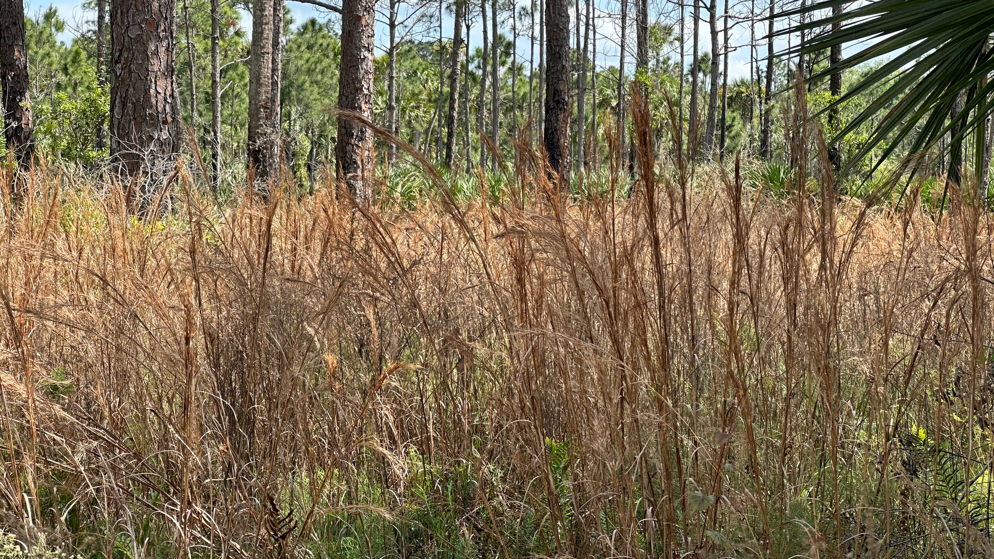
I continued on the now narrow trail into a pine forest, (a bit overgrown, so don’t forget to spray your clothes). I crossed a buggy road or two and then I was back in the water. The tea-stained water was difficult to see through at times, and after a while, I stopped trying. I was making enough noise to scare away anything lurking beneath the surface (I hoped!).
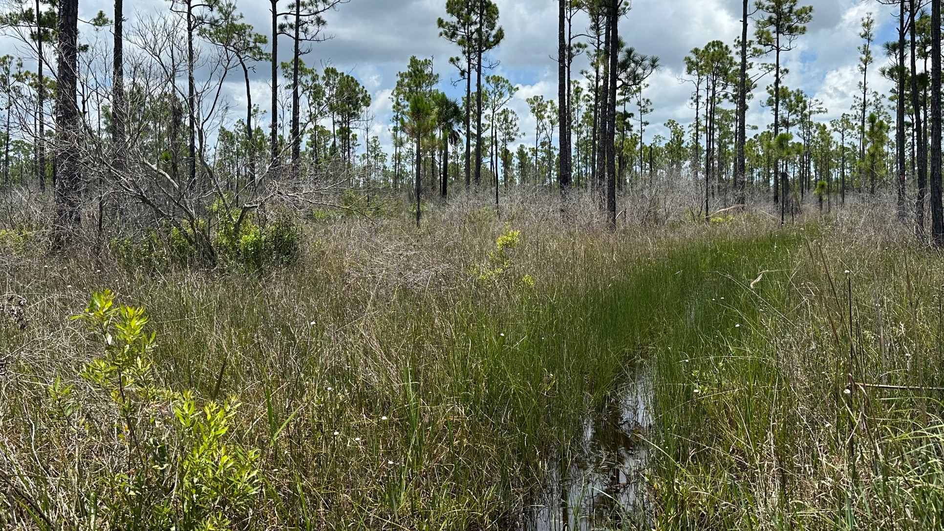
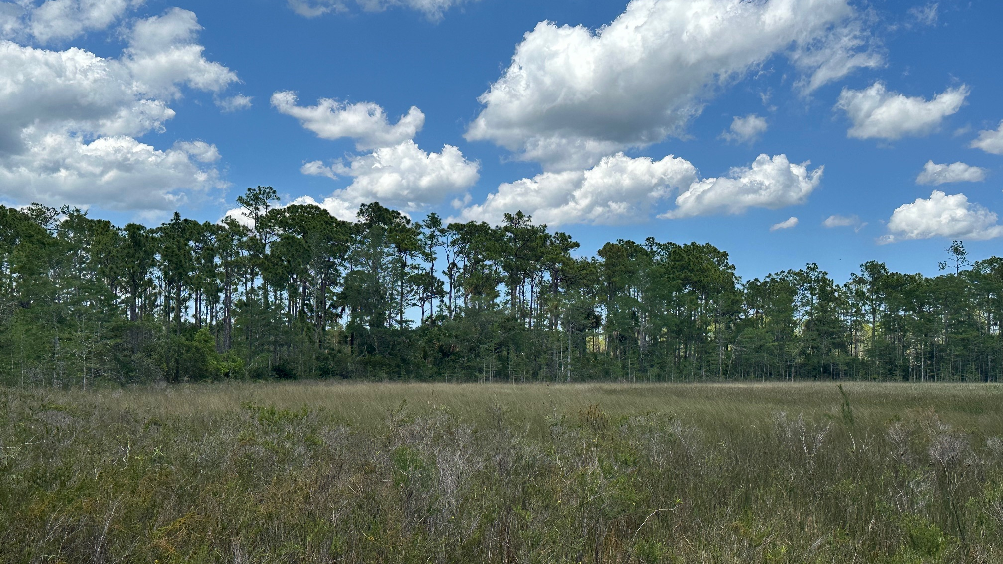
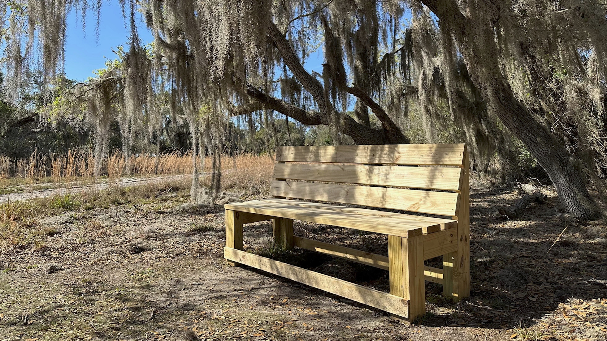
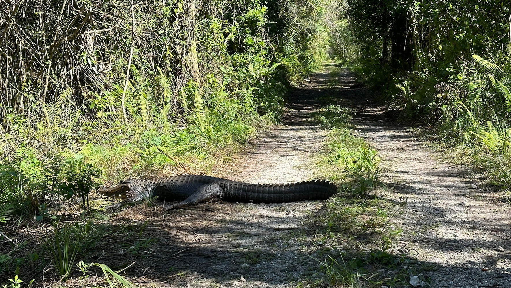
I stepped onto dry trail the last half mile to the canal. I passed a couple medium sized hogs as I made a turn—one black, one brown. They scurried away when they saw me. I stopped under some pines just past the Little Gopher Canal for lunch and a break before heading back.
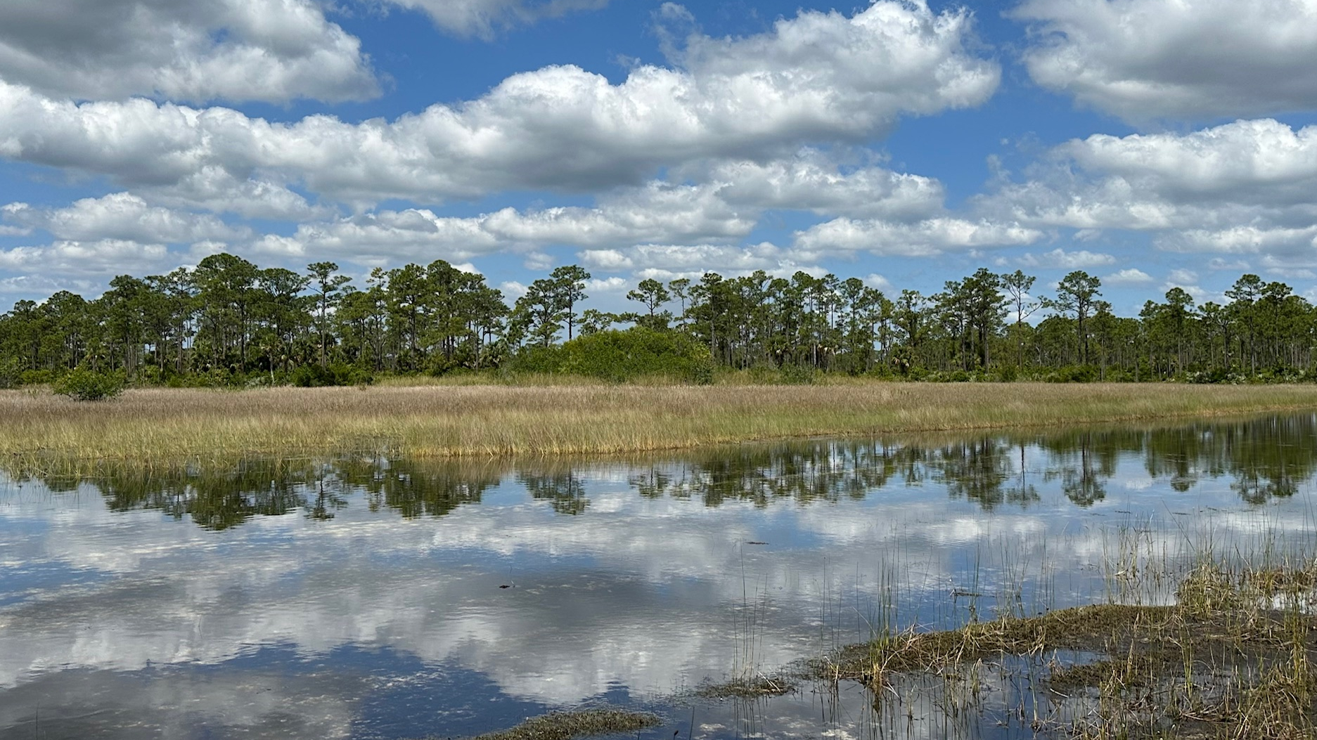
My four-mile hike back was hot, but I managed to find a couple shady dry spots to stop and rest. My average time was considerably longer than normal but the water aerobics had slowed me down. The trail was about 80% wet and the water rose anywhere between my ankles to my knees.
I have nearly completed my section hikes of the OTL. I have one section remaining—about six miles one way, so a twelve mile hike total.