Feeds:
Posts
Comments

Posts Tagged ‘FloridaNature’

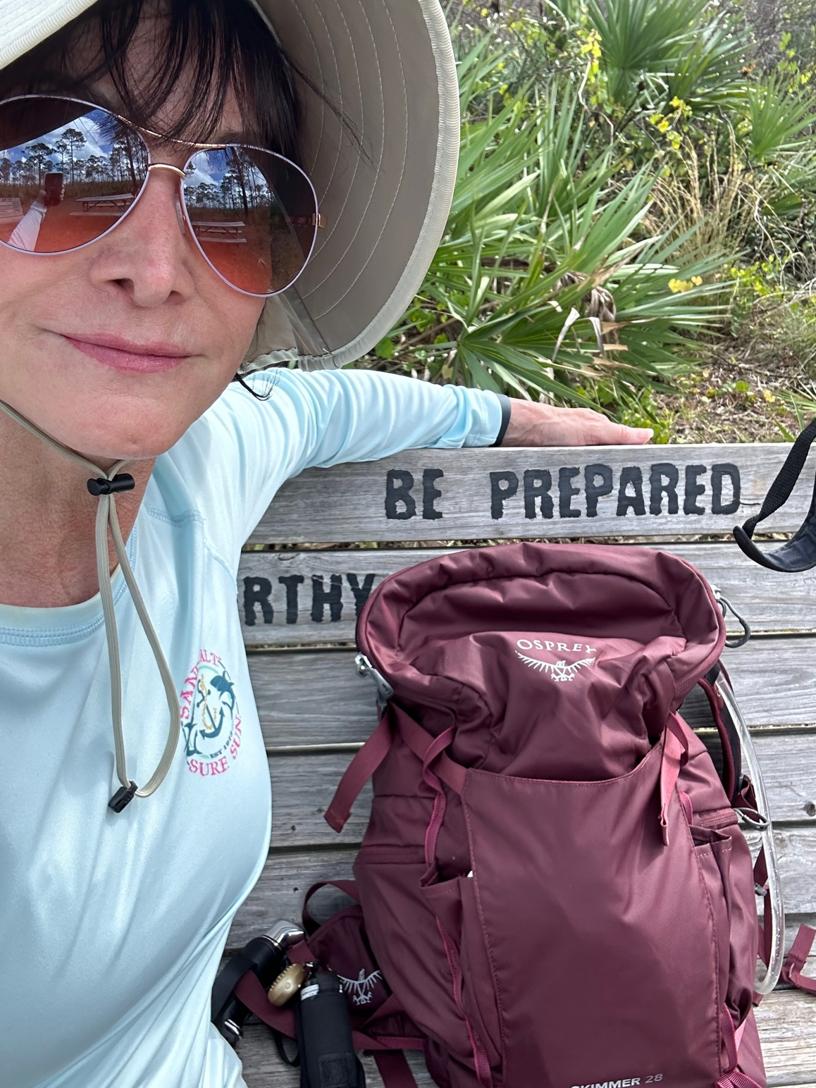
In retrospect. It would have been smart to park at Lake Okeechobee and hike to Dupuis WEA, but being so familiar with Dupuis, I didn’t even think of it until I was already on the trail, looking back at the smoke from the prescribed burn.

Prescribed Burn East of Dupuis WEA

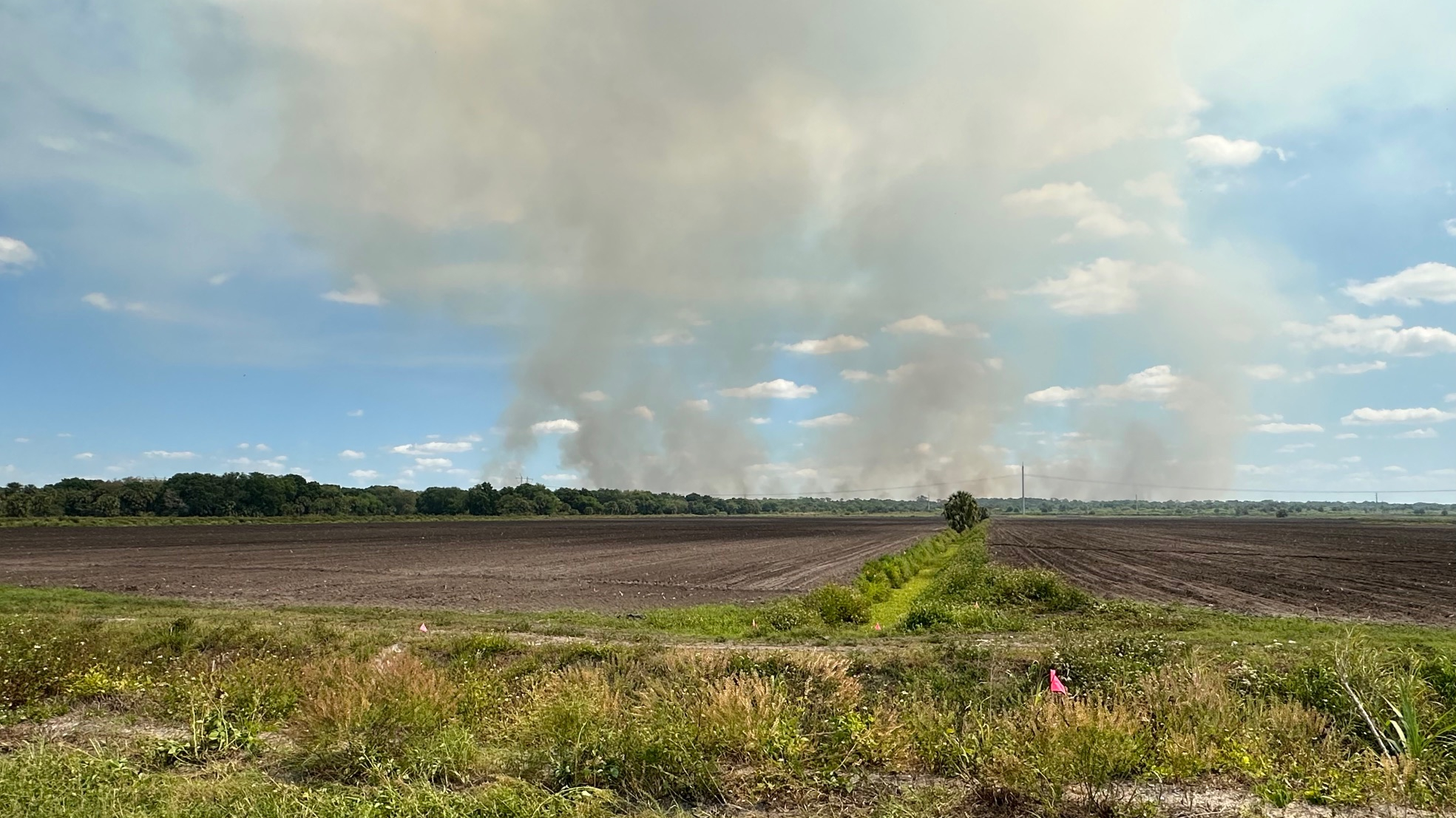
I drove through Gate 1 at Dupuis WEA and shortly noted there was a controlled burn going on east of Dupuis. It appeared distant, so I parked on the west side of Dupuis Grade Road just south of where the OTL crosses over, and I headed to the trail.

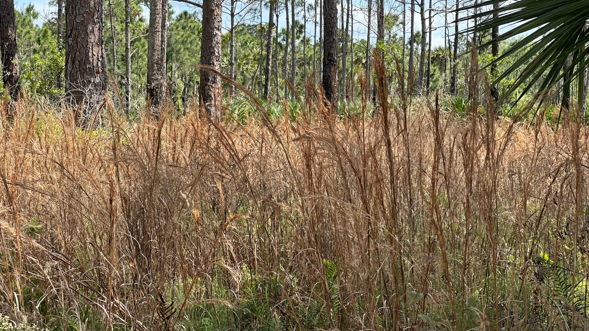
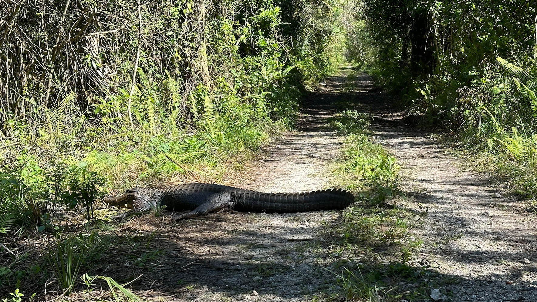
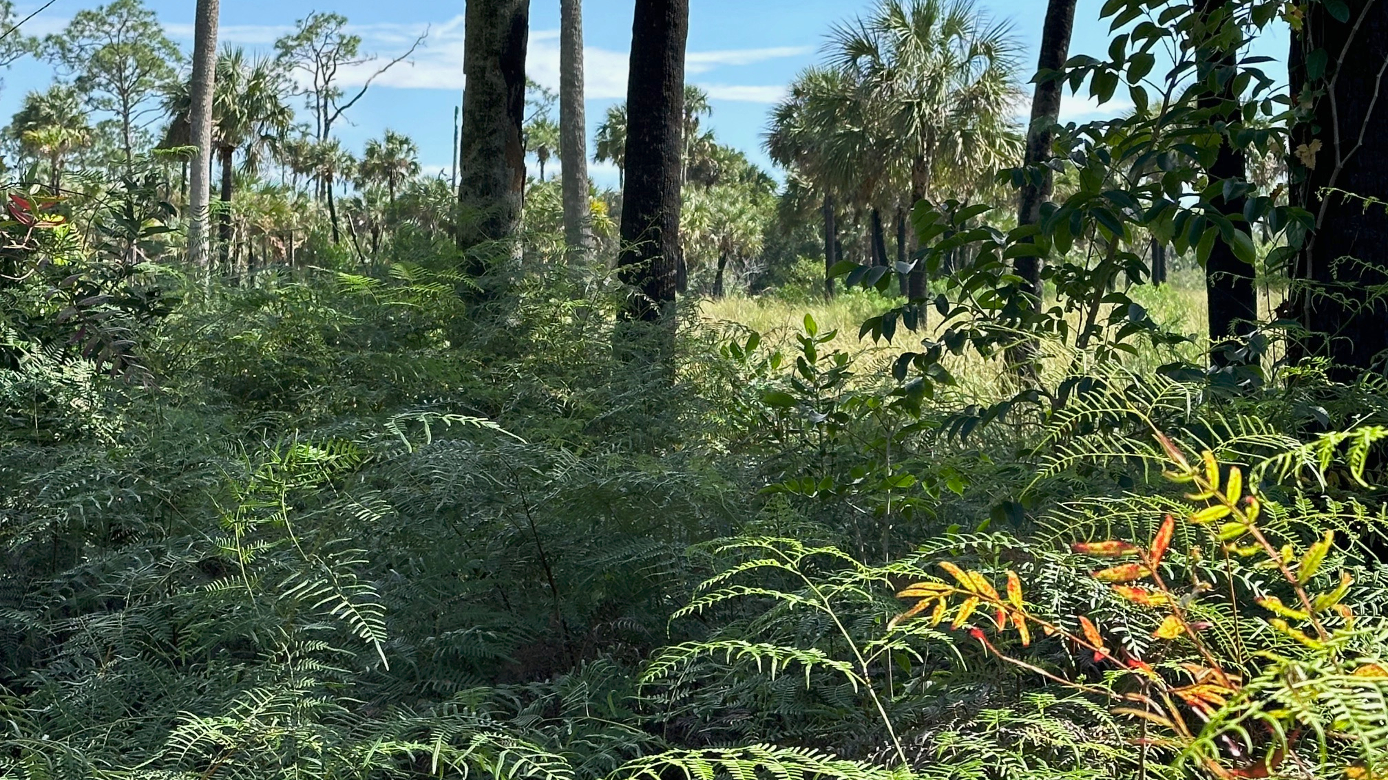
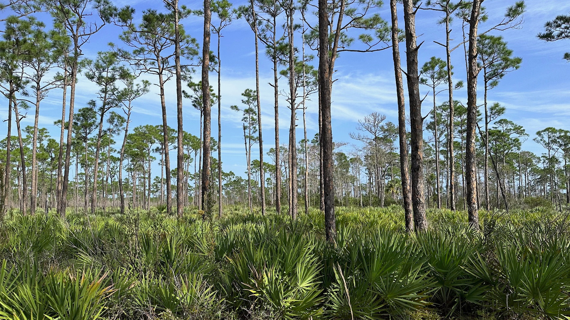
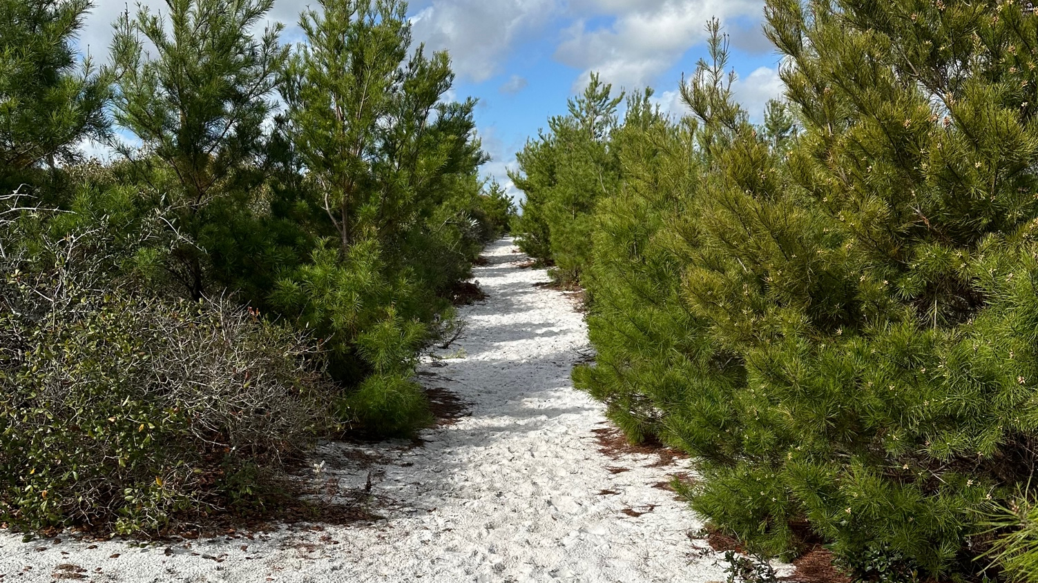
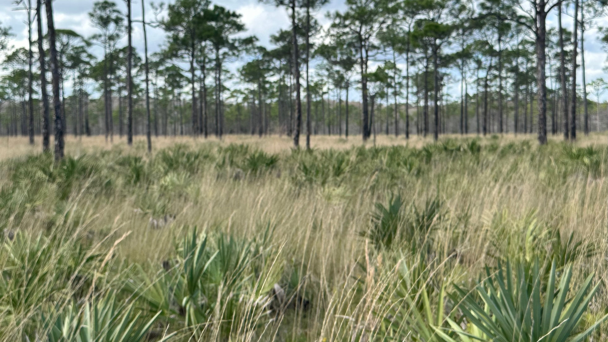
With the prescribed burn to the east of me, I headed west and was on the trail by 11:30 a.m. I hiked 4.5 miles to the lake and back for a total of about 9 miles. The first mile took me through a lovely pine forest, and I expected (hoped) to see some wildlife that may have been fleeing from the burn. My hopes were dashed as the only wildlife I saw on the ground was one very large wild turkey.

About three quarters of the hike was along dirt roads—probably used mostly by the farmers.  The last mile was a somewhat busy and very sandy/dusty road frequented by large trucks that sent clouds of dust and sand into the air and all over me.

OTL Ends Here–Lake Okeechobee

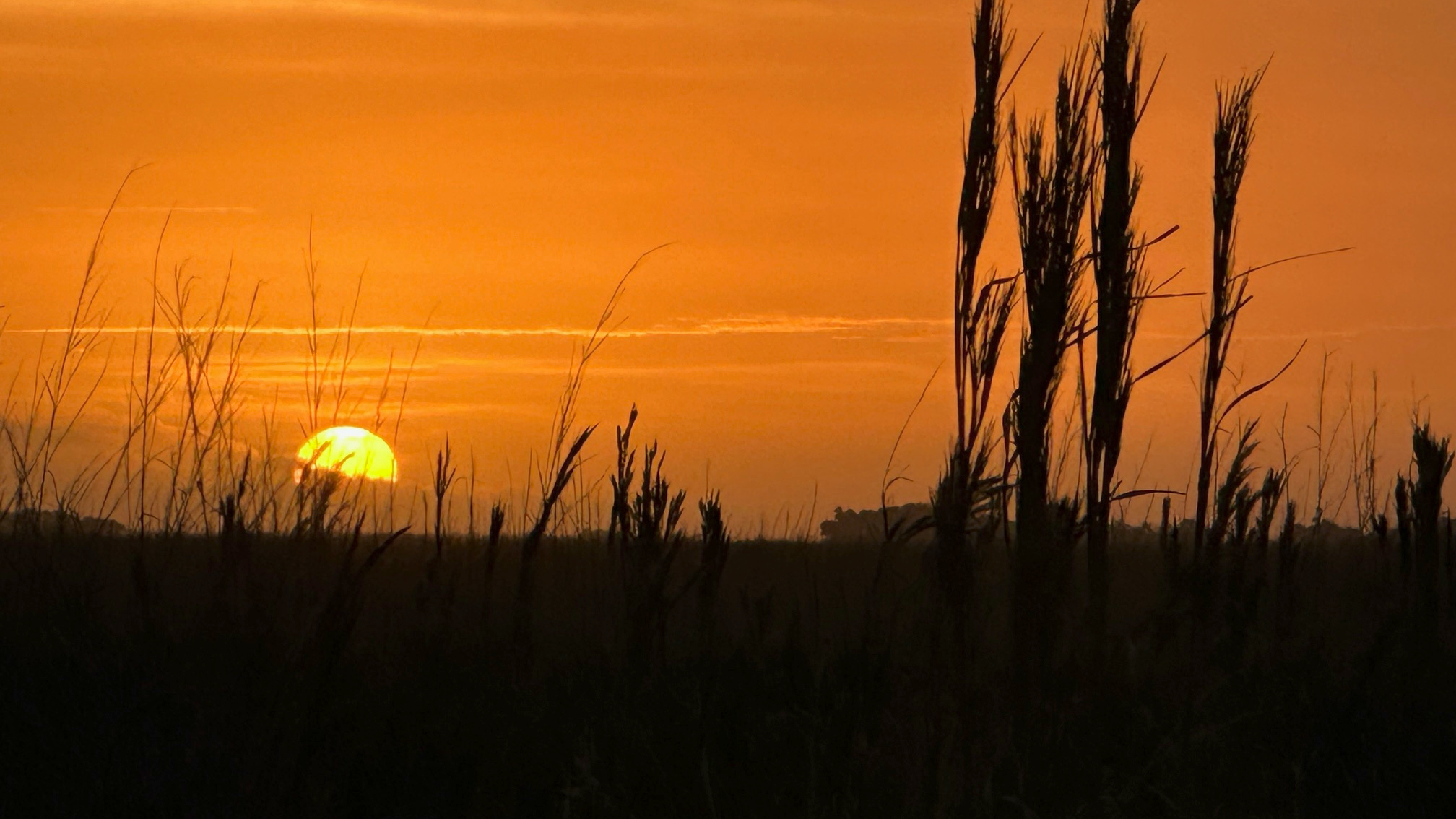
Although I did not enjoy the dust, I did enjoy hiking past the freshly plowed fields and new crops sprouting up; it felt very springlike. And the cows—I enjoyed our chat. (I love cows.) I arrived at Lake Okeechobee a bit dusty, but happy. I found a piece of shade next to the kiosk to sit (a bench or picnic table would be very nice here!) and have lunch before heading back.

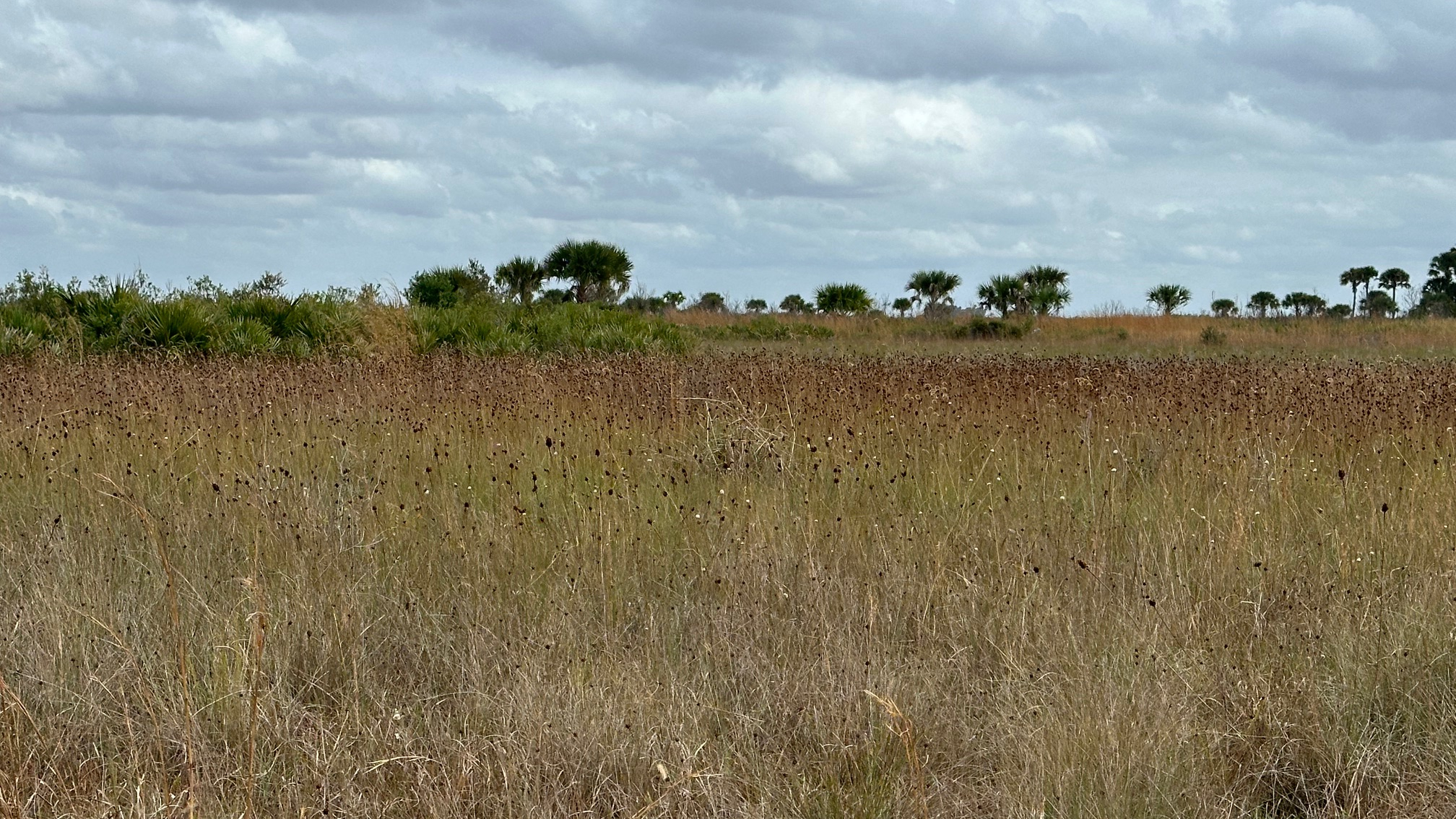
By the time I returned to my car, the burn had moved westward. Driving the six to seven miles out on Dupuis Grade Road, parts of east side of the road were sizzling and swirls of smoke rose from the bushes. At one spot, a hot wind tunnel crossed the road in front of me.

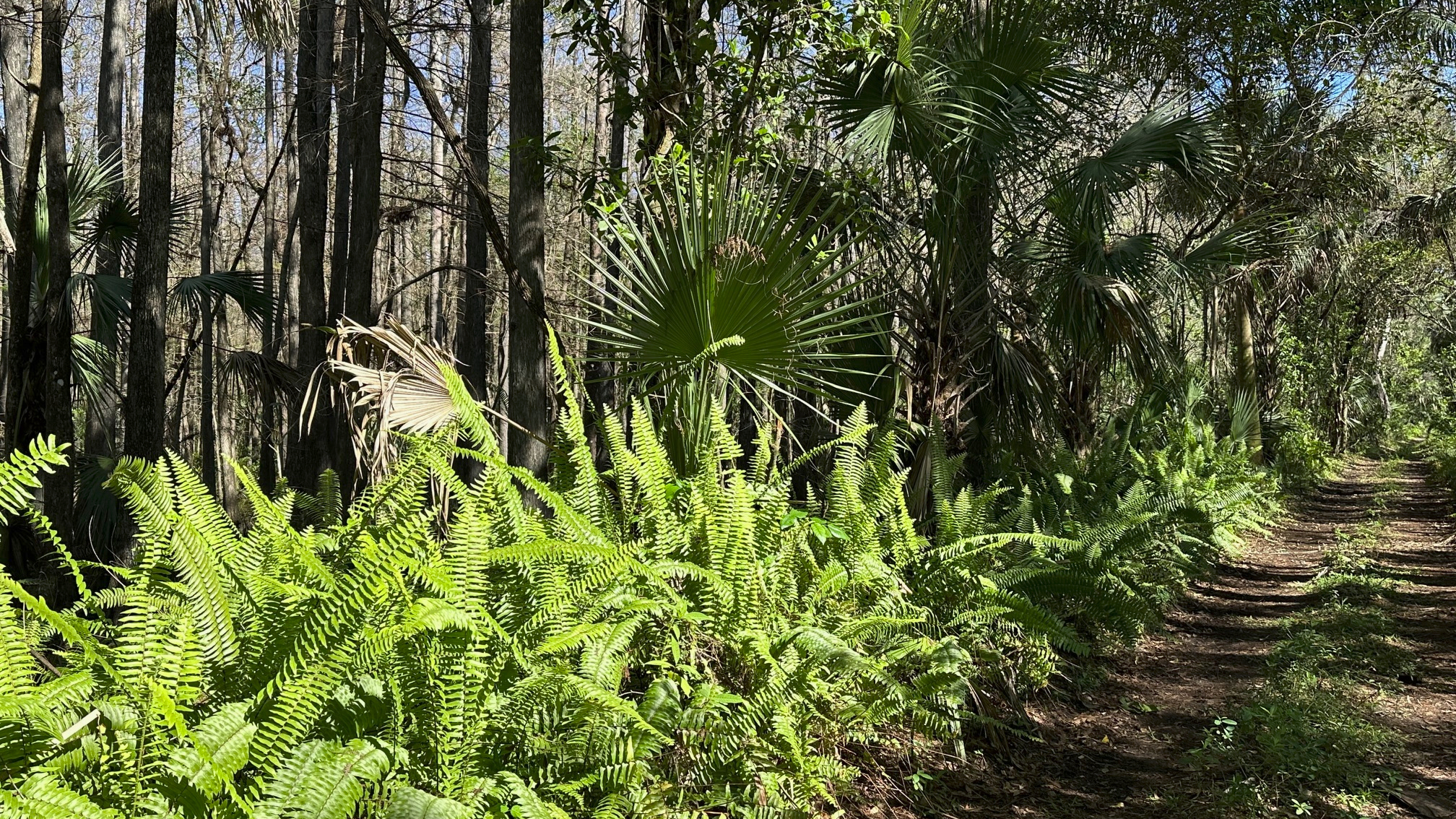
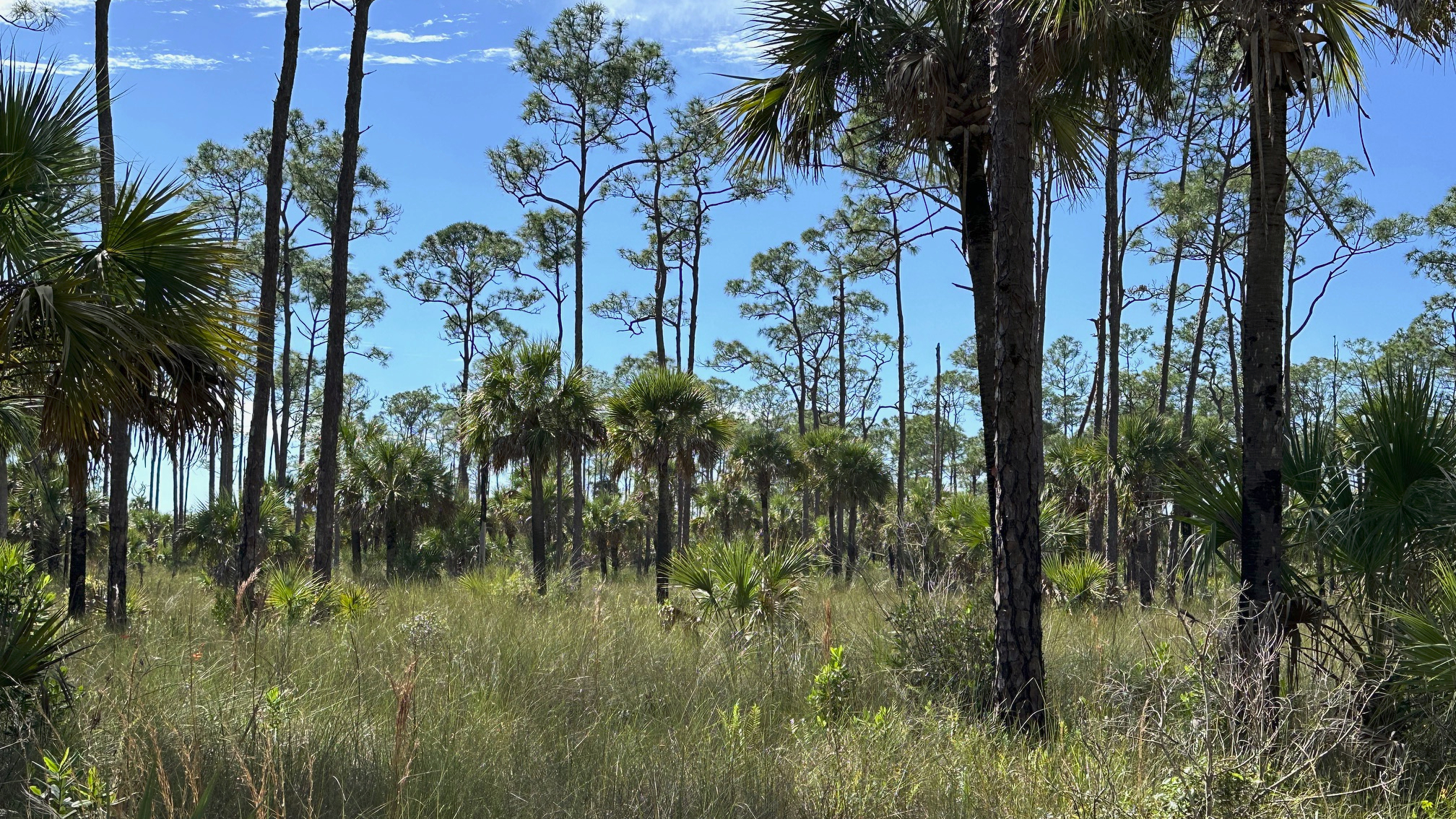
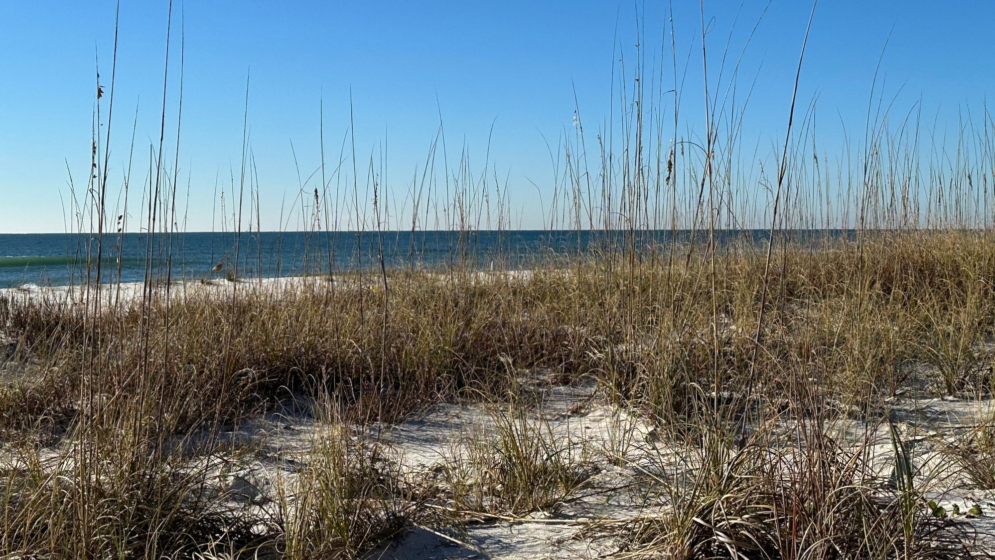
Although this was not my favorite section of the trail, there were parts that were beautiful and certainly worth the hike.

Read Full Post »

Determined to see some wildlife this time (other than birds), I began my hike in the afternoon and was on the trail at 1:20 pm. This time, I parked at the Cypress Boardwalk parking area, about seven miles inside Gate 1. I hiked just over a mile to loop 4 and the OTL Trail. (The OTL runs along the west side of loops 3 and 4 and then leaves the loops to head towards Corbett Wildlife Management Area.)

Tall Grasses Frame the Trail

The spring flowers were just beginning to bloom, and I found myself alone on the trail with the exception of the many birds, and towards the end, many wild boars! The sounder of boar I came upon were in various shades of brown, tan, and black and went about their business digging holes on the side of the trail as I passed.

I paused for a snack and a rest at a campsite at the southern end of the loop for about thirty minutes. The campsite had two picnic tables, two fire pits, several benches, and lots of room for tents. Tall pine shaded the area—a welcomed relief from the sun!

Dupuis Loop 4

My hike was over seven miles total, so the loop itself was about five miles. As I drove from the nature area and across the OTL trail, I was reminded how close I was to the lake. My next hike would be an out and back from Dupuis to Lake Okeechobee—about nine miles.

Read Full Post »

The third loop—Happy Valentine’s Day to me! I had hiked the first two loops of the Dupuis Wildlife Management Area during the summer and fall of 2023, and I wanted to hike the last two before the hot summer weather and daily rainstorms arrived.

Saw Palmetto and Slash Pines Along the Trail

With help from some Facebook folks (Florida Trail Lox Chapter), I knew where to park to access loop 3. I arrived at 9:15 a.m. and parked west of the loop on the Grade Road accessed through Gate 1—just past where the OTL Trail crosses over the road. I hiked one mile to connect with loop 3.

What a gorgeous day! About 60 degrees with a slight breeze and a few clouds when I started on the trail, the weather couldn’t have been nicer. I was thrilled to see maintenance had been completed on the trail and all was dry. With the exception of some wild boar activity, it was an easy hike.

Tall Pines Silhouette the Sky

Alone on the trail, I enjoyed my surroundings of tall slash pine, vivid green saw palmetto, and wax myrtle. The birds kept me company—red shouldered hawks, red bellied woodpeckers, and cardinals. I appreciated the benches along the way—if only to use for a stretch. When I exited the trail onto the OTL trail, it surprised me how close I was to the lake, only 5.5 miles from where the OTL connects to Loop 3.

Next stop—loop 4!

Read Full Post »

After a night spent camping at the Collier-Seminole State Park, I began my drive home, and I decided to fit in just one more hike. The Fakahatchee Strand Preserve State Park was not far away, with a website that claims it to be the largest state park in Florida with an “emphasis on the preservation of its natural character.” I did not want to miss this!

Ferns Add a Splash of Green Along the Trail

I turned off of State Road 29 and onto the Janes Memorial Scenic Drive, past the Visitor Center and restrooms which make up the “limited facilities” offered by this no frills park. The “Janes,” as the website warmly refers to this six-mile dusty road with holes and bumps that could easily complete with any city speed bumps, is the main access to the hiking trails. Driving down the road (slowly), it became clear that this park lived up to its goal to preserve its natural character, and it did not rely on RV campsites or children’s playgrounds to attract nature lovers. This park was big and wild!

I headed towards Gate 7, the West Main Tram Trail, a 4.5-mile out-and-back trail surrounded by swamp strands. The tram roads in the park are old logging roads built in the 1940s used to haul cypress logs from the swamp.

Between Me and My Car

Although very buggy (Those babies can bite through steel!), I enjoyed my shaded hike through this beautiful, wild country. Swamp strands to my right and left were filled with cabbage palms and bald cypress cloaked in orchids, bromeliads, and air plants. The saw palmetto and ferns along the sides added a dash of brilliant green to the landscape. An occasional orange tree appeared to be out of place.

The skies and trees were alive with red-shouldered hawks, woodpeckers, and warblers. Ibis and herons waded in the water. Butterflies fluttered past me. Alligators sunned on the banks and rocks besides the trail, and yes, the mosquitos still bit me. Picnic benches invited hikers to pause and enjoy it all. On the return, about a half mile from my car, one gator had left his sunny rock and moved onto the trail. I spent fifteen minutes yelling and clapping my hands with no reaction from him. My “gator-gone” methods exhausted, I pulled out my phone and played Taylor Swift, Bad Blood, as loudly as I could. Slowly, the lazy alligator raised up and walked into the water. (Add that to your hiking list!)

I returned to my car and headed home, sorry I could not stay longer and hike another trail.

(Fakahatchee Strand Preserve State Park. 137 Coastline Drive, Copeland, FL 34127. (239) 961-1925. Website: https://www.floridastateparks.org/parks-and-trails/fakahatchee-strand-preserve-state-park)

Read Full Post »

I chose Collier-Seminole State Park as my next camping/hiking trip, as I have wanted to hike in the Everglades area for some time. The website boasts that it is “within one of the largest mangrove swamps in the world.” Well-known for the heat and bugs that summer brings, I felt early spring was a good time to visit.

View from the Trail

The small feeling of the park surprised me. I drove through the gate and checked in. My campground was close by, the smaller of the two. The park also had a grassy community area and as well as the river area where I had rented a kayak a couple of years ago.

I parked at my site and put my tent up quickly (Yay! I’m getting better!). The smaller campground allows only tents and smaller campers/RVs. The restrooms and laundry were a short walk away. The facilities were clean. The park felt comfortable.

I wanted to get a hike in before the sun set, so I headed out to the Prairie Hammock Trail, the trail recommended by the park staff. Access to all three hiking trails is outside the gate off of US 41. The other two trails, the Strand Swamp Trail (closed due to the hurricane) and the Flatwoods Trail (very wet and muddy) were not recommended, so Prairie Hammock Trail it was!

A Peak through the Ferns

The Prairie Hammock is a loop trail, my favorite kind! I hiked the grassy road, peaking through gorgeous tall ferns to look out across the prairie. Saw palmetto, cabbage palm, and tall slash pine added to the beautiful landscape around me. I read posted signs along the trail warning of panthers and bears in the area—and hoped to see something! I was not alone; many birds enjoyed the afternoon with me—red-winged blackbird, yellow-rumped warbler, and common yellowthroat. Bird watchers would love this trail.  

Ready for the Evening

As I made the turn back on the loop, the trail narrowed and became a bit muddy—but there was never  a lot of standing water, so the hiking was easy. I arrived back to my car after about a 4.5 mile hike, disappointed that I did not see any animals but happy, as always, to have the privilege to experience nature.

I returned to my campsite, and after a shower and a bite to eat, I built my campfire (nailed it this time!). What a great day and successful (but short) camping trip. 

(Collier-Seminole State Park. 20200 Tamiami Trail East, Naples, FL 34114. (239) 394-3397. Website: https://www.floridastateparks.org/parks-and-trails/collier-seminole-state-park)

Read Full Post »

I knew as I drove along the long dirt road in the midst of a prairie grassland from the entrance of the Kissimmee Prairie Preserve State Park to the office and campground that I was in for a peaceful experience with Nature. I stopped my car, rolled down my window, and listened. No sounds of traffic.  Perfect.

Where the Prairie Meets the Hammock

I arrived on Tuesday with a last minute reservation I was able to grab for just one night. My first stop was the park office where I checked in and checked out trails with a volunteer. My campground, the family campground, had only twenty sites, with several that looked out to the prairie. How beautiful!

After setting up my tent, I started on the Prairie Loop Trail—a recommendation for an afternoon hike from the park volunteer. This trail, about 4.5 miles, was surrounded by live oak covered with moss, saw palmetto, wax myrtle, and tall prairie grasses blowing in the breeze. I returned to the office area a couple hours later to see deer and wild turkeys grazing in the tall grasses.

Sunrise on the Prairie

Evening in the campground was quiet and friendly. In need of a shower, I walked to the bathhouse, and was surprised to see how dark the campground had become when I stepped back out. I had looked forward to some fabulous star gazing, but unfortunately, the clouds kept the stars away. Once I snuggled into my sleeping bag, the nearly full moon appeared and lit up my tent. At 2:00 in the morning, I took a brief stroll through the campground, happy to see the stars had finally made it to the party. At 6:30, I rose to see the sunrise, nearly running into a deer on my way to my viewing spot. I watched as beautiful shades of red, orange, and yellow painted the sky while birds sang their morning songs.

Before leaving on day two, I hiked through the Hammock Trail to the Kilpatrick Prairie Trail and back—about six miles (another recommendation from a park staff member). Such beautiful prairies! With no one on the trail, I enjoyed the peace and serenity that Nature offered. There were some wet areas on the trail, but they were easy to walk around. I passed a couple deer on the side of the trail—no fear, they hardly moved. On my return through the hammock, a small white boar scurried away.

Mother Nature Paints a Beautiful Picture

 My goal for this trip was to test out my new tent and stove and make certain I could keep a fire going. I made progress! I’ll work on the fire on my next trip. 🙂

(Kissimmee Prairie Preserve State Park. 33104 NW 192nd Ave, Okeechobee, FL 34972. (863) 462-5360. Website: https://www.floridastateparks.org/parks-and-trails/kissimmee-prairie-preserve-state-park).

Read Full Post »

Jonathan Dickinson State Park is my “go to” park, when I don’t have time to travel far. I returned to JD State Park to hike the 7.5 mile White Loop for my third state park in the new year. This is where I had spied the Florida Panther the previous New Year’s Day, and I hoped to see one again.

Saw Palmetto Among the Pines

I began my hike in a clockwise direction and made the same mistake I did the first time I hiked it. About one mile in, after going over the little bridge and around the water, I became overconfident being on the service road and missed the right turn onto a smaller trail. My AllTrails app gave me a “heads up” that I was off trail about a block later.

Sixty-five degrees with a slight breeze! Perfect hiking weather. For the remainder of the trail, I came upon water from time to time, but never to the point where it flowed into my shoes. I was thrilled to see they had built small boardwalks around the deeper water.

I love that this trail has a couple of rest spots with benches. The first is about 3.5 miles into the trail. I passed only a couple of hikers heading in the opposite direction as I, and I saw one hiker come off the OTL Trail in the distance (This distraction may have caused my missed trail.).

Loggerhead Shrike to Keep Me Company

The moist sand from a recent rain made for easy track identification—wild boar, raccoon, and then some I could not identify. The trail had very little boar activity until the last mile.

Only the birds kept me company—loggerhead shrike, red-shouldered hawk, yellow-rumped warbler. Alas, no panther to be seen.

Although there is next to no shade on this trail, it’s always a great trail to hike.

Read Full Post »

On my drive home from Alabama after visiting family for the New Year, I wanted to stop at a couple State Parks. I started with the most westerly and furthest away from my home—Perdido Key State Park, which according to the State Park website is a “favorite destination for swimmers and sunbathers” with “white sand beaches and rolling dunes covered with sea oats.”

Sea Oats on the Dunes

I knew that Hurricane Sally in 2020 had caused devastating damage to the park and forced it to close. I was thrilled to see that two of the three entrances—the middle and east entrances—were now open with beautiful new boardwalks at both entrances and a new restroom at the east entrance. Construction crews worked on the west entrance.

Although the beach and dune areas were closed to protect an “environmentally sensitive area,” it was a beautiful site from the boardwalk and an uplifting promise for a New Year of great beginnings.

New Boardwalks to the Beach

(Perdido Key State Park. 15301 Perdido Key Drive, Pensacola FL 32507. Website: https://www.floridastateparks.org/parks-and-trails/perdido-key-state-park. (850) 492-1595.)

Read Full Post »

My AllTrails hates me.

The map at the kiosk showed the Kitching Creek Loop to be a one-hour walk with a thirty-minute hike along Wilson Creek to get there. I plugged the trail into my app, and four and a half hours after leaving my car in the parking lot, I arrived back to it. This hike—a definite do-over. Funny.

Scenic View from the Trail

It was hot as heck, and the mosquitos and horseflies feasted on me through the seat of my pants. I came across water on the trail pretty quickly, but I was able to get around it—at first. The more I walked, the more water there was and the more difficult it was to avoid. I passed over the Kitching Creek Bridge and the outlook—which was closed. At this point, the water became deeper and wider, and I concentrated more on getting around the water than where I was heading. I had gone a bit past my turn before my AllTrails suggested that I may have missed it. (“Oops! Did you get off the trail?”) By then, I was facing a shallow pond of water and decided to turn back anyway.

Deep Water on the Trail

Of course, no one else attempted this trail at this time of day. Even the animals and birds stayed away—with the exception of an ibis or two.  I headed back to my car with little guidance from my AllTrails guy—who seemed to think my hike was over and had already ended it.

Most of the Florida trails I’ve hiked have been well blazed. I had difficulty finding signs on this trail. I read that the trail was no longer maintained but did not see an explanation. I’m not certain that is true.

This trail is definitely a do-over—but I’ll wait until the trail is dry. 

A definite do-over!

Read Full Post »

Several months ago, I created a list of fun goals to achieve in my retirement. Fourth on the list is “Hike the Florida Trail.”  To accomplish this and to help prepare me for overnight hiking, I chose to day hike a section of one of the off-shutes/secondary trails of the Florida Trail system, the first (or last, depending on perspective) section of the Ocean to Lake Trail which runs about sixty-one miles from the Hobe Sound Beach to Lake Okeechobee.

Sugar Sand Trails at Jonathan Dickinson State Park

This would be my longest day hike thus far, and I knew that during the week, I would most likely be the only person on the trail. My backpack was a bit heavy for a day hike—16.4 pounds—but this would help get me use to carrying more weight for overnight camping trips. I felt prepared with plenty of food, water, sunscreen, and an extra pair of socks and trail runners.

I parked at Riverbend Park shortly after they opened and took an Uber to the Hobe Sound Beach, pretty simple. At 9:17 a.m., I walked to the water; I wanted to make certain I didn’t miss a step. I began my walk west and loved the beginning of this trail. I walked under beautiful Banyan trees and over the bridge in Hobe Sound. However, the next section on Dixie Highway made me glad I started north and hiked south so to get this section out of the way. At 10:07 a.m., I entered the Jonathan Dickinson State Park just off US 1 and started my trek across the sugar sand trail.

Tall Grasses in the Breeze on the OTL Trail

It was quiet, and hot, and I was grateful for the breeze, overcast sky, and the beautiful scenery as I hiked through the various ecosystems—sugar sand trail decorated with sand pines, prairies of tall golden grasses moving with the breeze and contrasting beautifully with the palmetto scrub, pine forests, and cypress swamps.  After walking through several wet areas, I became even more grateful when I came upon the occasional wood bridge over the deeper waters. Thank you, Boy Scouts.

On this Wednesday morning, I saw no one until I crossed paths with a park biologist, checking her hog traps, a few miles in. I had noticed areas where the hogs had dug up the ground around the trail. We chatted for a bit before I moved on. I had miles yet to go! 

By the time I hiked out of Jonathan Dickinson State Park at 2:45, I had been hiking for 5.5 hours and over 10 miles, and my body had begun to protest. As I crossed Cypress Creek, the waters called to me, “Jump in! Jump in!” If the water was clearer, and I knew what the heck lurked below, I may have done just that to cool off. Instead, I sat on the wooden bridge and enjoyed a rare moment in the shade. I met only one other person at 3.88 miles from Riverbend Park, a young man, Brian, who had parked at Riverbend for an out-and-back.  I had passed two campsites—Scrub Jay and Kitching Creek—with no sign of life. Other than that, I saw a few hawks and scrub jays.

A Pause at Scrub Jay Campsite

I turned into Riverbend Park at East Slough Trail at 5:50 p.m., close to sixteen miles from the start with about a half mile to my car. My weary legs had slowed me down at the end, and if they would have allowed it, I would have jumped for joy when I saw the exit sign! It was already getting dark when I got to my car.

I have begun planning for my next hike—East Slough Trail at Riverbend to BeeLine Highway.

Read Full Post »