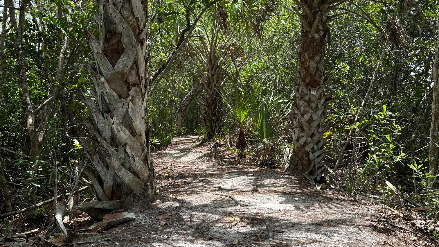
The map at the kiosk showed the Kitching Creek Loop to be a one-hour walk with a thirty-minute hike along Wilson Creek to get there. I plugged the trail into my app, and four and a half hours after leaving my car in the parking lot, I arrived back to it. This hike—a definite do-over. Funny.
Scenic View from the Trail
It was hot as heck, and the mosquitos and horseflies feasted on me through the seat of my pants. I came across water on the trail pretty quickly, but I was able to get around it—at first. The more I walked, the more water there was and the more difficult it was to avoid. I passed over the Kitching Creek Bridge and the outlook—which was closed. At this point, the water became deeper and wider, and I concentrated more on getting around the water than where I was heading. I had gone a bit past my turn before my AllTrails suggested that I may have missed it. (“Oops! Did you get off the trail?”) By then, I was facing a shallow pond of water and decided to turn back anyway.
Deep Water on the Trail
Of course, no one else attempted this trail at this time of day. Even the animals and birds stayed away—with the exception of an ibis or two. I headed back to my car with little guidance from my AllTrails guy—who seemed to think my hike was over and had already ended it.
Most of the Florida trails I’ve hiked have been well blazed. I had difficulty finding signs on this trail. I read that the trail was no longer maintained but did not see an explanation. I’m not certain that is true.
This trail is definitely a do-over—but I’ll wait until the trail is dry.
Every time I step onto a Florida trail, I wonder, “What will I see this time?”
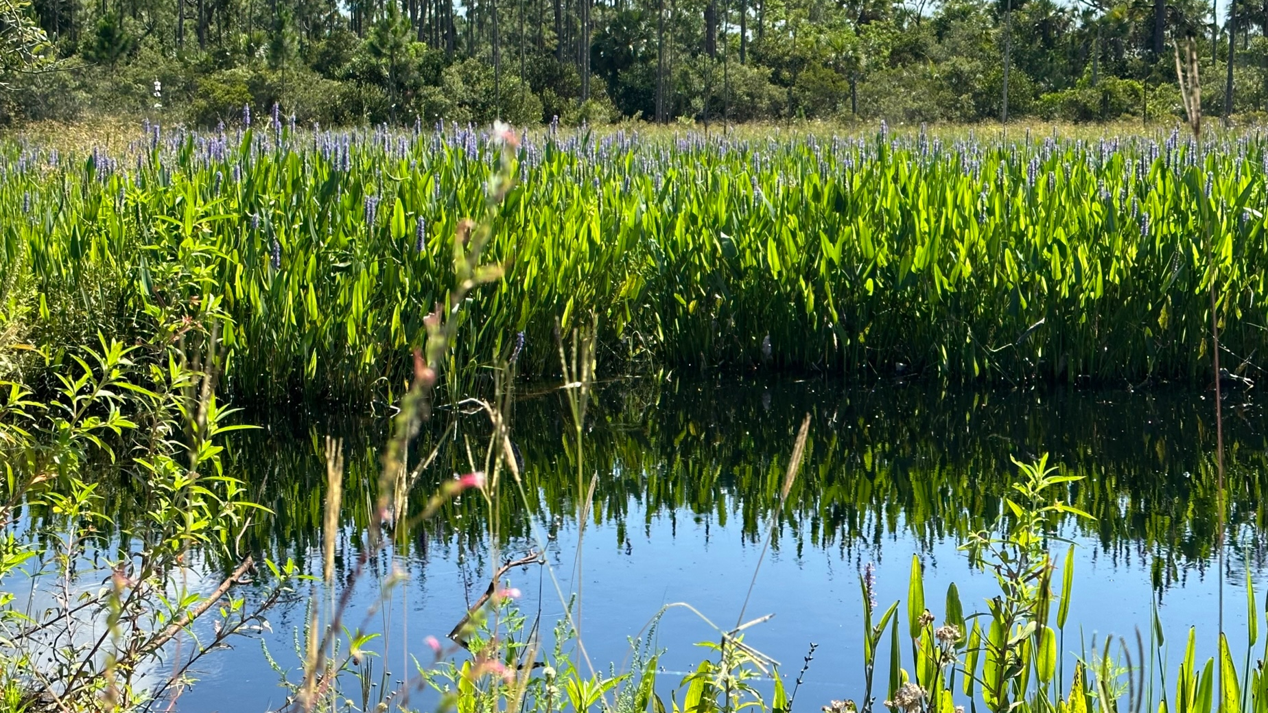
I passed through part of the Loxahatchee Slough Loop Trail when I completed my third section of the Ocean to Lake (OTL) Trail. The Loxahatchee Slough is part of Palm Beach County’s protected natural areas which are maintained mostly by the Environmental Resources Management. How fortunate we are to have these natural protected areas. (For a list of Palm Beach County multi-use trails: https://discover.pbcgov.org/erm/Pages/JeagaWildways.aspx)
Flowers Decorate the Loxahatchee Trail
With easy parking at 11885 Beeline Highway, I arrived just as a 10K run completed. County staff, still on site from the run, showed me the trails on a map and explained trail conditions. Water had flooded a section of the last leg of the return on the Loxahatchee Slough Loop, so I opted for a longer hike on an extended loop to stay dry. I also included the out and back to the observation tower which I found was just steps away from the OTL trail section I had hiked from Riverbend Park to Beeline Highway. The same county staff member also hooked me up with a new trail app, Avenza Maps. This app displays the maps in pdf format but also shows your location on the map. I found this very helpful!
I began the trail by 9:45 a.m., hiking clockwise around the loop. Another hot Florida day—already! I stopped at the restroom about a half mile in (clean and roomy) and changed into my shorts, quite happy I remembered them this time. There was a bench just outside the restroom next to the water. This, and the picnic table at the tower, were the only rest spots on the trail. I would have welcomed a couple more benches—especially along the last section. Once again, I found myself sitting on the roadside in the shade of a pine tree for a snack and rest.
Water Along the Trail
With the exception of the blazing hot sun, the trail, a dirt road with lovely surroundings, was easy to hike. I passed sand pine, wax myrtle, saw palmetto, cabbage palms, tall grasses and remnants of spring flowers. With recent rains, water approached the trail on both sides. My only company were the Ibis and butterflies until about one mile from the finish when I passed a man headed in the opposite direction.
I enjoyed the beauty of my 5.5-mile hike, completing it in less than three hours with my two breaks. With the exception of the sounds coming from the Beeline Highway on the last portions of the trail, it was a quiet, peaceful hike.
Having learned (the hard way) that Uber will not drop off or pick up in these remote areas, the logistics of my next hike became my priority. In the end, my daughter dropped me at the South Gate to the Corbett Wildlife Management Area at 2:45 PM—yes, a late start, but it stays light until after 8:00 now. I thought I might get some late afternoon clouds and see some wildlife.
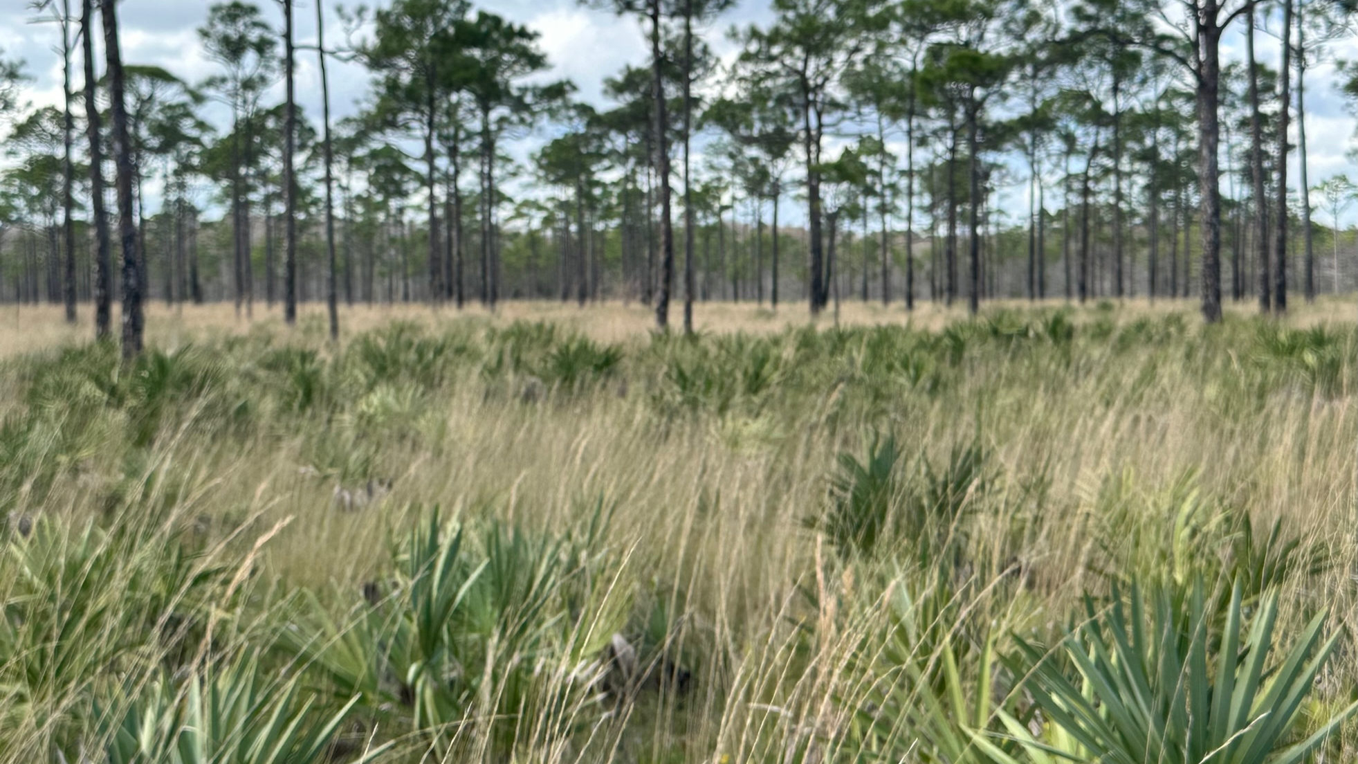
Hot Open Hiking Path
I hiked north to connect to the Beeline Highway where I had ended my previous hike on the OTL—a five-mile hike—and then an additional one and a half miles to the parking lot at the Loxahatchee Slough Natural Area by way of the Loxahatchee Loop Trail where I had left my car.
I didn’t know what to expect and wore my usual long pants and long-sleeved SPF top to protect me from sun, sand, bushes, and critters. The trail, which appeared to be a service road for the wildlife area, was wide open with little or no shade—with the exception of one mile along Beeline Highway and the short distance to get to the Loxahatchee Loop Trail to the parking lot. It was a HOT hike.
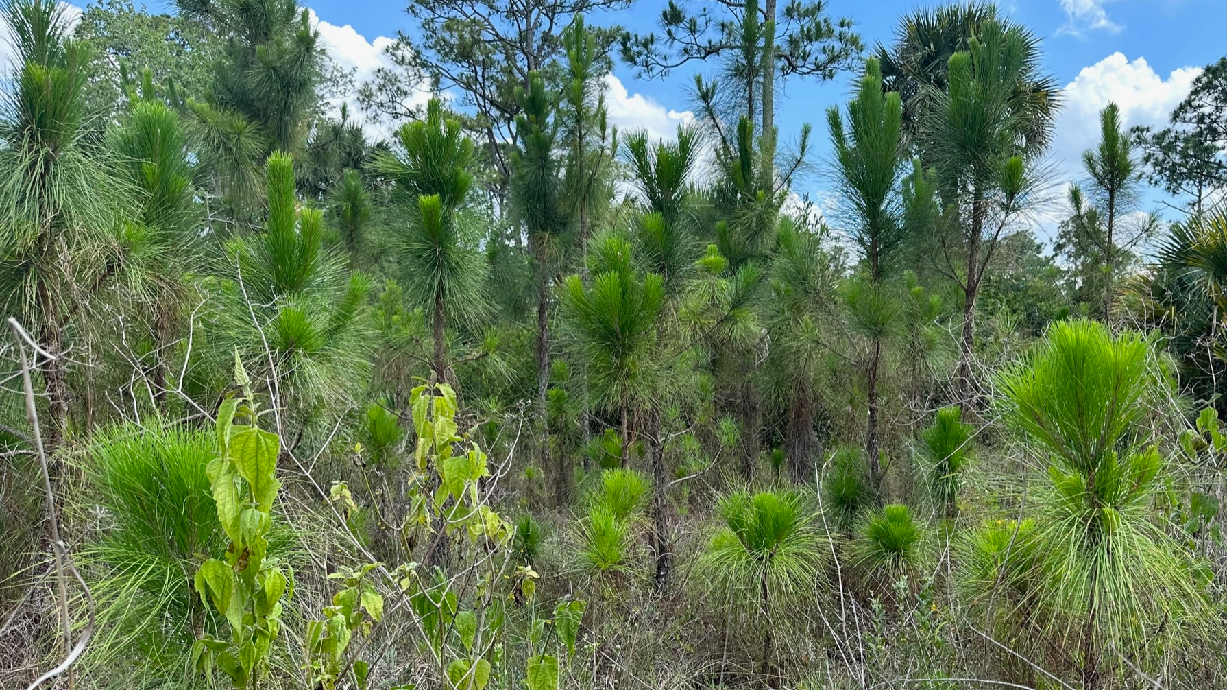
New Growth After Controlled Burn
My first stop was just over three miles into my hike, and with not a bench or log in site, I sat on the ground in a tiny piece of shade under a sand pine. No doubt I would have appreciated this trail much more on a cool, fall day. I had forgotten the pair of shorts I typically pack “just in case,” and I came very close to using my knife to cut the legs off my pants. It was that hot.
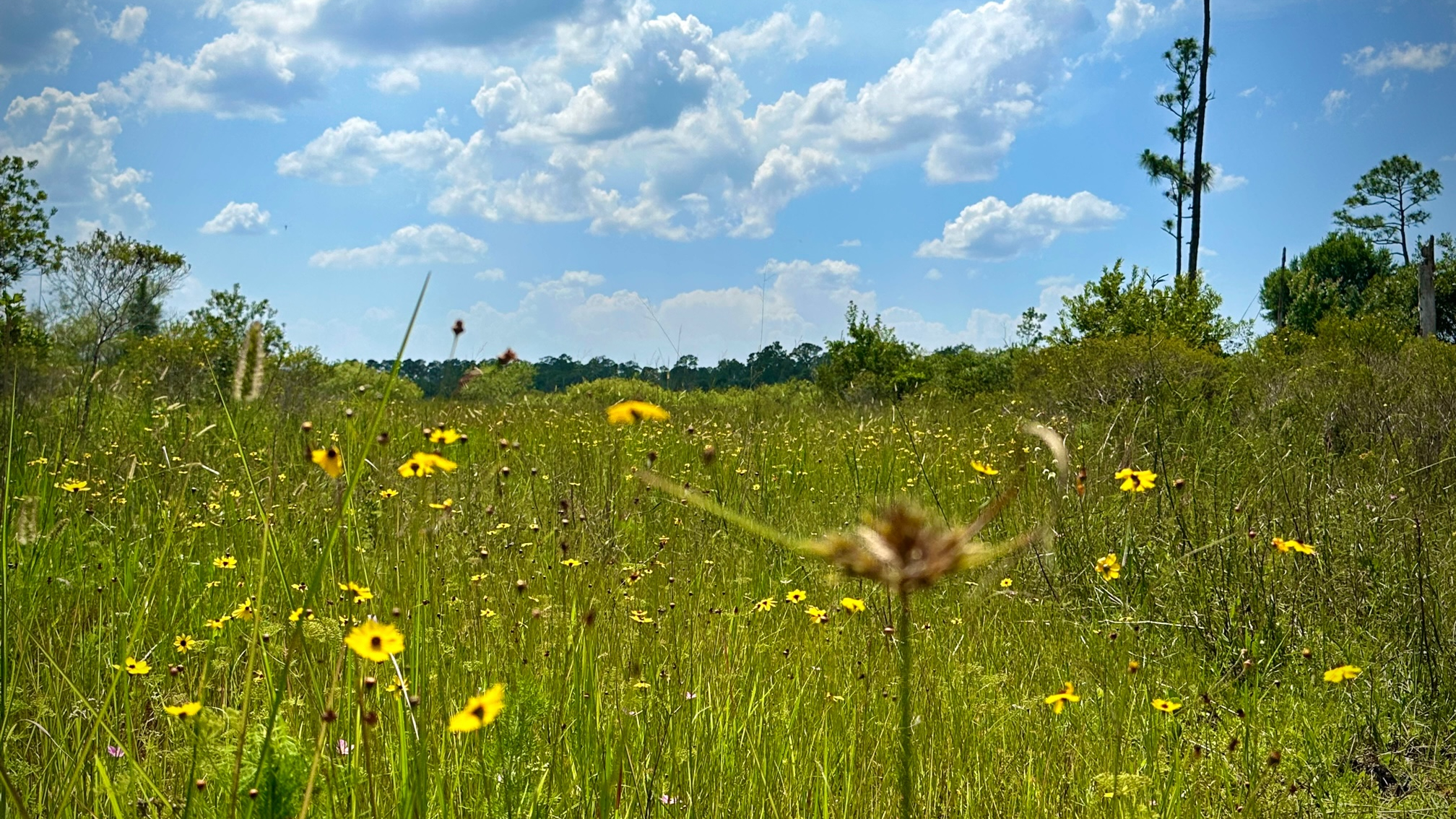
Complaints aside, the beauty of my surroundings awed me—saw palmetto, sand pine, cocoplum, flowers, and tall grasses. Ahead of me, three dark animals hurried across the trail—perhaps wild boar, as there was some evidence. Scrub jays, woodpeckers, herons, cardinals, swallow tailed kite, red shoulder hawk flew from tree to tree.
Beautiful and Scenic Hike
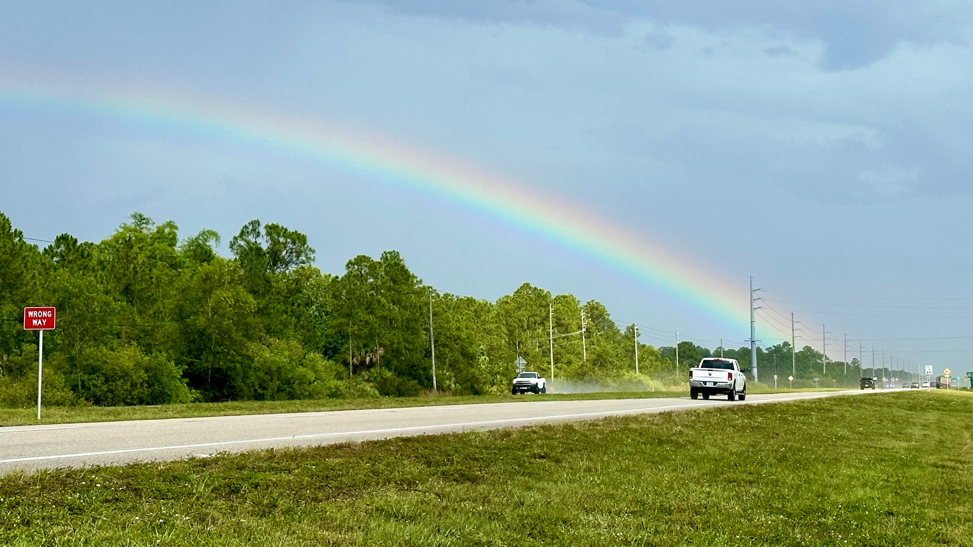
Around mile four, my hope for clouds arrived along with strong winds and a downpour of rain. Be careful what you wish for. However, there is something mysterious and beautiful about rain in nature. I found a little protection from the wind and rain on the side of a large saw palmetto. I arrived at Beeline a soggy hiker, trying to avoid the splash of the cars and trucks as I crossed the small bridge. On the other side, God rewarded me for my patience with a gorgeous rainbow.
This was my third section of OTL and my least favorite so far—although I had a beautiful and scenic hike for the first four miles. I arrived at the parking lot about 6:15 PM—about 3.5 hours—soaking wet and happy I had thought to throw a sweatshirt and pair of sandals in my car (reminder: next time, add sweat pants!).
Now that I had warmed up on the Eagle Trail, I was ready for Hog Hammock and Promontory Loop Trails. Hog Hammock loops with an option to return at one mile or two. The Promontory Loop Trail is a straight one-mile shoot out and back from Hog Hammock. The total hike for both trails is four miles.
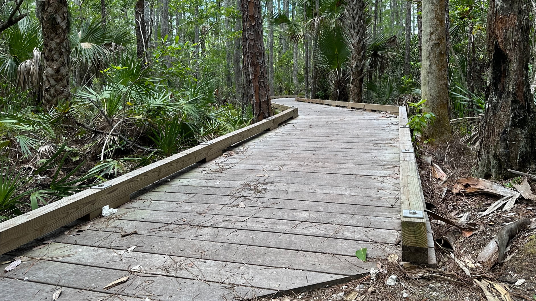
Boardwalk on Hog Hammock Trail
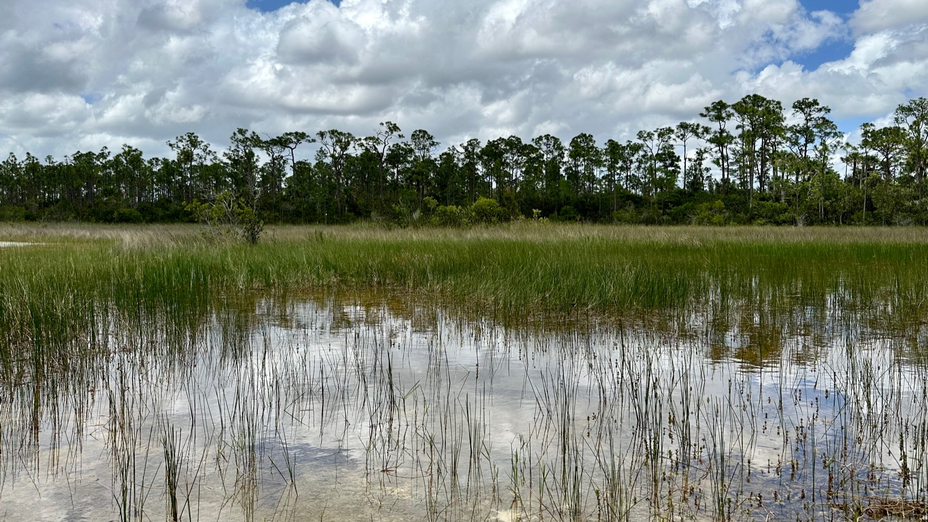
Right away, I knew this would be a nice, easy hike. Both trails, wider and straighter than Eagle Trail, are very suitable for both hiking and biking as well as being kid friendly. Shaded by pines, cabbage palms, and cypress with many opportunities to pause on a bench and/or under a covered shelter, I enjoyed my hike–and bringing a lunch and planning a longer day of the trail would be a great escape! I stepped onto the trail and spied a small deer almost immediately. The deer, obviously accustomed to people, stood and stared at me for a bit before slowly walking away. Herons and egrets lazed in the grassy waters along the trail, and a large Florida softshell turtle crossed the trail (very slowly) in front of me.
Grassy Waters on Hog Hammock and Promontory Trails
As I hiked Hog Hammock, boardwalks occasionally lifted me off the forest floor. I imagine that these boardwalks keep hikers dry during the rainy season when the grassy waters flow into the forest. The trail widened even more when I reached Promontory, and if the trail had been painted yellow, I could have imagined skipping to see the wizard.
Easy Hiking on Promontory Trail
Overall, I had a great day hiking, and I believe there are a couple more trails in that same area that are calling me!
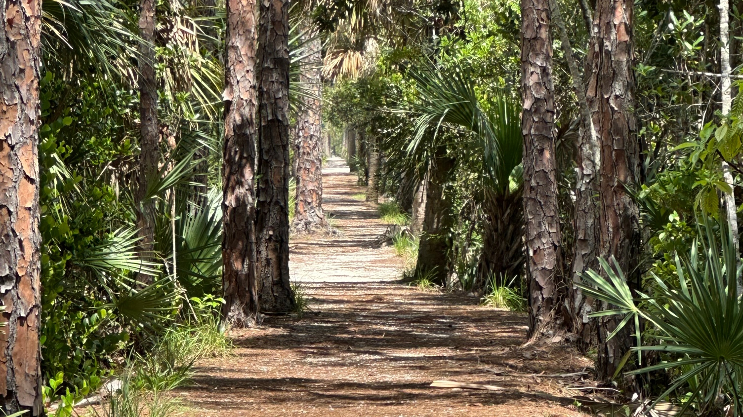
I started my afternoon hiking adventure on this sweet, twisty-turny dirt trail that surrounds Gator Lake in West Palm Beach. Just over a half mile, this is a great warm-up trail! I love that access and parking to this trail and the Hammock Hog and Promontory Loop Trails was easy—and included bathrooms with flushing toilets!
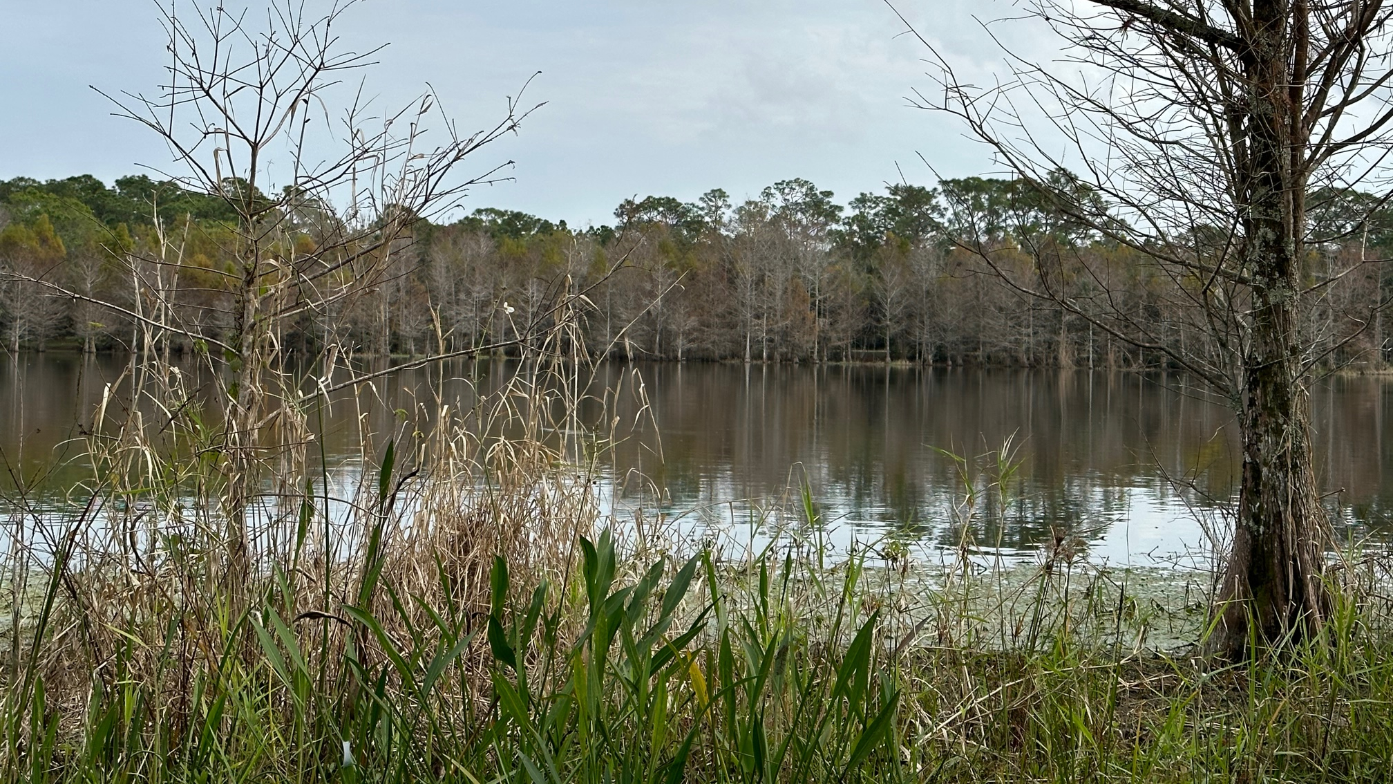
Gator Lake on the Eagle Trail
As this trail looped around the lake, I came upon several spots to pause and sit or take in the lake view and do some bird watching. Narrow and somewhat rooty, this trail has lots of shade, so even on a warm May afternoon, it was a pleasant hike. The trail ends at the entry road, and I walked the quarter mile back to the parking lot and on to Hog Hammock Trail.
With recent rains, I hesitated to attempt the next section of the OTL Trail, not wanting to wade among the muck and other creepy crawly things that might live in any standing water. However, if not now, then when? The rainy season is here to stay for a while! Worse case, I thought, I might get a couple miles in and decide to turn back. Ankle high water, I don’t mind, but thigh high? Ehhhh
So, I set out from Riverbend Park at 10:15 a.m. and immediately came upon three hikers heading in the opposite direction as I (and obviously, much earlier risers). They appeared geared up for camping and had passed through my destination that morning—and they reported a dry trail! Good news for me.
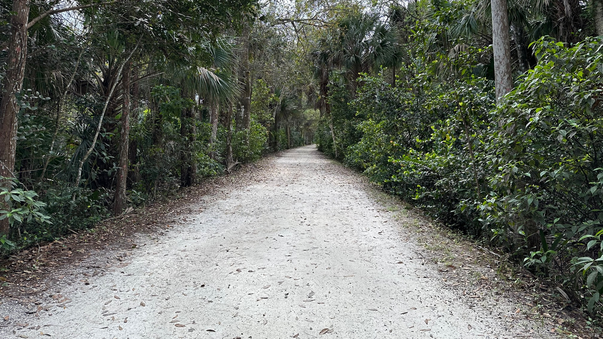
Entering the Wooded Trail
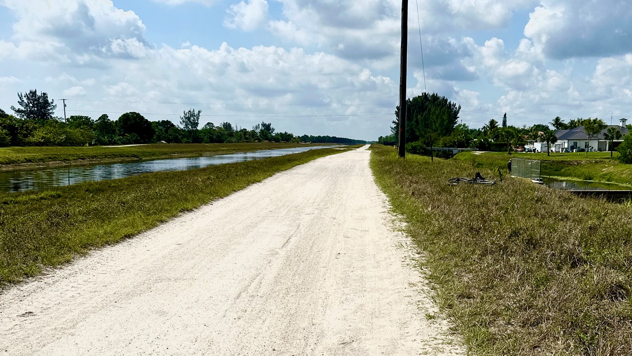
What I loved about this portion of the OTL was the diversity in my surroundings beginning with the easy stroll-like hike through Riverbend Park (dang, those trails are nice!). Once I left the park, the trail changed, and I passed through a shaded, winding, wooded, and often narrow trail until I emerged onto a sandy open and brutally hot road along the canal—causing me to be thrilled when I entered the woods once again. Wild boar had torn up portions of the woodsy trail, and I became adept at maneuvering around the ruts. As with the first section I hiked in January, this trail was well blazed—although I managed to get off track a couple of times and found that the AllTrails app did not always agree with the trail blazes.
Hot, Sandy Road Beside the Canal
Here’s why I prefer to hike alone—I have a better chance of seeing wildlife. I was on the trail for seven hours, and by mid-hike, I began to see signs of life. A couple raccoons scurried along the trail on their short little legs, two hawks and a heron flew above me, a wild turkey trotted across my path like a character in Alice in Wonderland with somewhere important to go, and a spotted fawn seemed as startled to see me on the path as I was to see it. Several miles into my hike, I finally came upon some welcomed benches and a lovely spot for lunch.
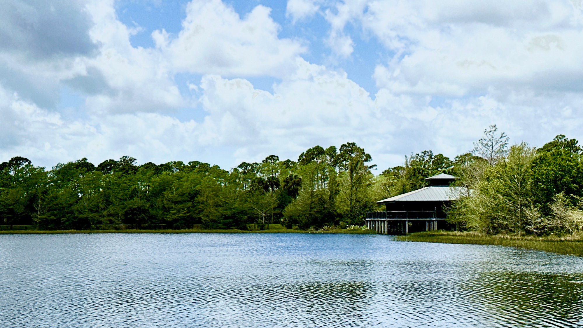
After lunch, in the middle of nowhere, I spied a wooden tower with steps to the top, and I dragged my tired butt up the stairs to see what I could see—a lovely view! A brief pause, and I continued on the trail (a total of 10.5 miles), finally emerging from the trees and onto Beeline Highway. I had left my car at Riverbend Park, thinking it might be an out and back hike. If I made it to the Beeline, I planned to call an Uber for a lift from the Beeline parking to Riverbend Park. (I know, city girl thinking for a country girl) Apparently, my location was a bit too remote, and I gave up waiting for a driver to grab my request after fifteen minutes. Thank goodness for family and back up plans. I thought I had read that there was new parking at the trailhead, but the Beeline Highway parking lot—one and a half miles east of where I emerged, seemed to be it. My tired legs and I were ready for a cold beer, but I took the Beeline stroll and arrived at the parking lot just about the same time as my daughter.
Beautiful View from the Tower
Next up on the OTL for me—Beeline Highway to the Youth Conservation Camp—about a five-mile hike one way.
Over two months! That’s how long it’s been since my last hike due to a foot injury at the beginning of February which left me hobbling and “hikeless.” I am so glad to get back to nature—but I am starting out light—which is why I chose Seabranch Preserve State Park for my hike on Easter morning.
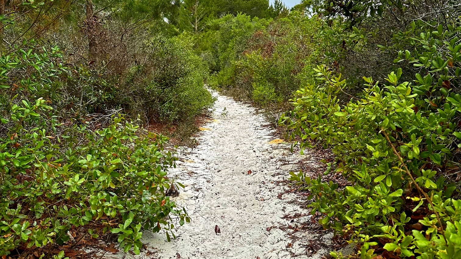
Sandy Pathways Along the Seabranch Trail
Only 913 acres, Seabranch was designated a state park in 1992. I found it easily, no gate to drive through or ID to show. I parked in front of the fence that led into the park. A kiosk next to the water fountain and toilet gave me the trail information I needed.
I chose the longest of the three hiking trails, the North Loop, and hiked just under 3.5 miles on a mostly sandy, narrow and twisting trail, happy I had worn long pants to keep the wild things off my legs. My goal–to beat the forecasted rain. The partly overcast sky provided a (small) relief from the hot sun, and my legs appreciated the occasional bench along the trail.
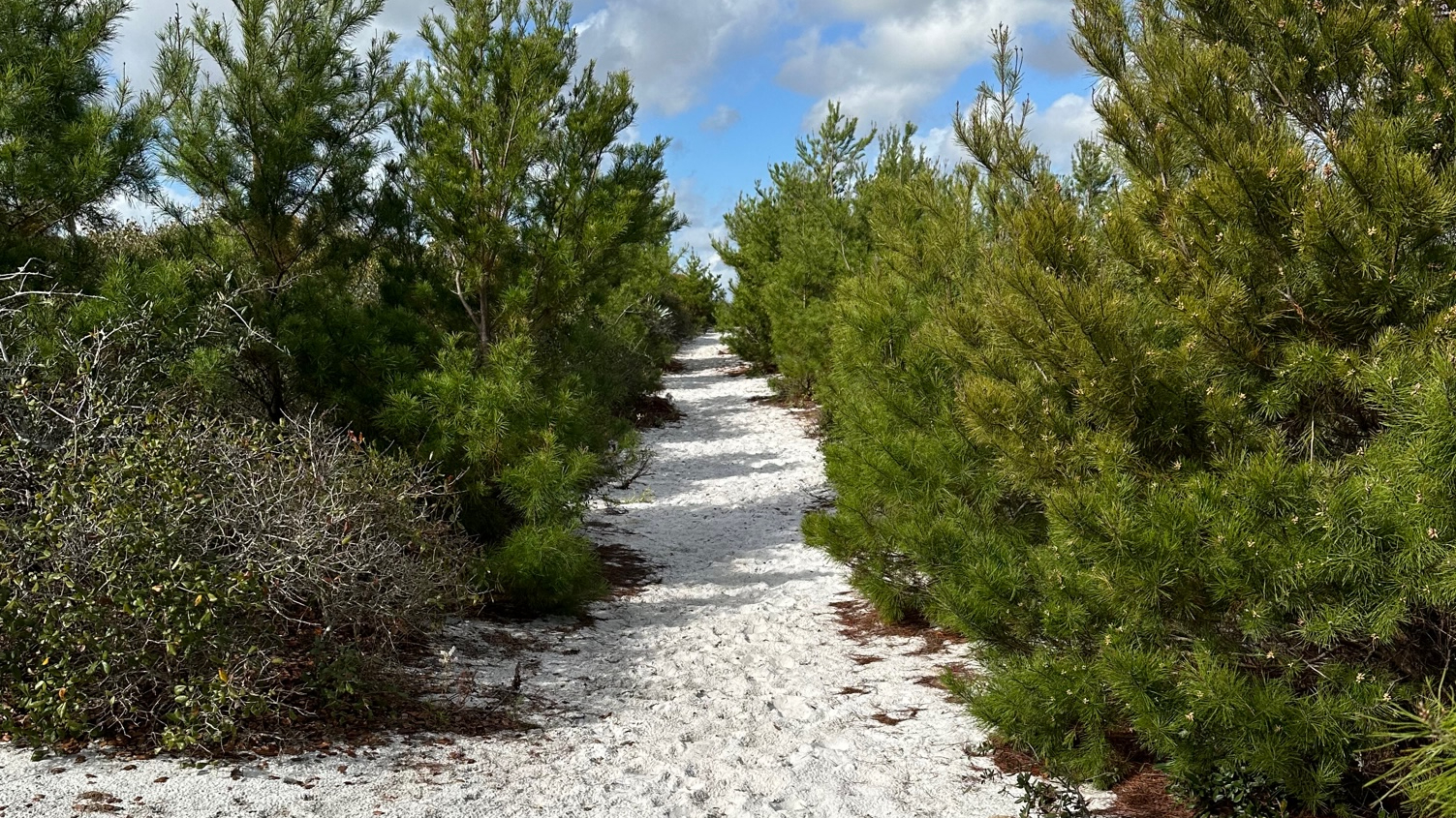
Large, dead trees dotted the landscape of scrub and tall pines—remnants, I imagine, from a prescribed burn to help maintain the fire dependent ecosystems within the park. I passed a few people during the first fifteen minutes, and then no one for the remainder of the trail. Although mostly in the open, short sections passed through pines, needles creating a welcomed carpet over the sandy trail. Little wildlife appeared in the quiet landscape, perhaps due to the hot day or impending storm. I spotted one swallow-tailed kite my entire hike.
Pine Needles on the Sandy Trail
I found the well-blazed trail easy to follow most of the time—and relied on my AllTrails app to pull me back on course if I got distracted searching for life. Although the first part of the trail twisted through the scrub, the last mile moved onto a road–wider, but still very sandy.
I finished my hike in about 1.5 hours with my legs feeling that the sandy trail had worked them out better than any gym could. Although I prefer a shaded hike, I’ve gotten use to Florida’s hot, sandy trails. I enjoyed my morning hike and hope to return to hike the remaining two trails.
Several months ago, I created a list of fun goals to achieve in my retirement. Fourth on the list is “Hike the Florida Trail.” To accomplish this and to help prepare me for overnight hiking, I chose to day hike a section of one of the off-shutes/secondary trails of the Florida Trail system, the first (or last, depending on perspective) section of the Ocean to Lake Trail which runs about sixty-one miles from the Hobe Sound Beach to Lake Okeechobee.
Sugar Sand Trails at Jonathan Dickinson State Park
This would be my longest day hike thus far, and I knew that during the week, I would most likely be the only person on the trail. My backpack was a bit heavy for a day hike—16.4 pounds—but this would help get me use to carrying more weight for overnight camping trips. I felt prepared with plenty of food, water, sunscreen, and an extra pair of socks and trail runners.
I parked at Riverbend Park shortly after they opened and took an Uber to the Hobe Sound Beach, pretty simple. At 9:17 a.m., I walked to the water; I wanted to make certain I didn’t miss a step. I began my walk west and loved the beginning of this trail. I walked under beautiful Banyan trees and over the bridge in Hobe Sound. However, the next section on Dixie Highway made me glad I started north and hiked south so to get this section out of the way. At 10:07 a.m., I entered the Jonathan Dickinson State Park just off US 1 and started my trek across the sugar sand trail.
Tall Grasses in the Breeze on the OTL Trail
It was quiet, and hot, and I was grateful for the breeze, overcast sky, and the beautiful scenery as I hiked through the various ecosystems—sugar sand trail decorated with sand pines, prairies of tall golden grasses moving with the breeze and contrasting beautifully with the palmetto scrub, pine forests, and cypress swamps. After walking through several wet areas, I became even more grateful when I came upon the occasional wood bridge over the deeper waters. Thank you, Boy Scouts.
On this Wednesday morning, I saw no one until I crossed paths with a park biologist, checking her hog traps, a few miles in. I had noticed areas where the hogs had dug up the ground around the trail. We chatted for a bit before I moved on. I had miles yet to go!
By the time I hiked out of Jonathan Dickinson State Park at 2:45, I had been hiking for 5.5 hours and over 10 miles, and my body had begun to protest. As I crossed Cypress Creek, the waters called to me, “Jump in! Jump in!” If the water was clearer, and I knew what the heck lurked below, I may have done just that to cool off. Instead, I sat on the wooden bridge and enjoyed a rare moment in the shade. I met only one other person at 3.88 miles from Riverbend Park, a young man, Brian, who had parked at Riverbend for an out-and-back. I had passed two campsites—Scrub Jay and Kitching Creek—with no sign of life. Other than that, I saw a few hawks and scrub jays.
A Pause at Scrub Jay Campsite
I turned into Riverbend Park at East Slough Trail at 5:50 p.m., close to sixteen miles from the start with about a half mile to my car. My weary legs had slowed me down at the end, and if they would have allowed it, I would have jumped for joy when I saw the exit sign! It was already getting dark when I got to my car.
I have begun planning for my next hike—East Slough Trail at Riverbend to BeeLine Highway.
I have explored Riverbend Park many times over the years—mostly to kayak. I love this park. It’s close by and has several great paddle trails as well as easy walking trails. The purpose of my visit on this day was to find the trail that connected with the Ocean to Lake Trail (OTL), part of the Florida Trail System. I wanted to hike the 9.4-mile section that starts just east of Jonathan Dickinson State Park at Hobe Sound Beach and needed an end point where I could park my car. However, there is not a car park at 9.4 miles, and Riverbend appeared to be my only option.
Trail at Riverbend Park
Riverbend rocks trail signage, and in addition to the cross trails being labeled, each cross trail includes an Exit sign. I love that being lost is never really lost. So, I can’t really blame the Riverbend folks for ending up at the wrong end of the park when searching for the OTL. I just got caught up in enjoying the journey and wasn’t paying attention.
In the end, I walked nearly three miles to find the OTL Trail which turned out to be less than a mile from the parking lot. However, getting a bit lost now and then certainly has its “ups.” This park has great trails for walking, hiking, biking, and paddling. Its website brags 680 acres and 10 miles of interconnected trails as well as 7 miles of equestrian trails and 5 miles of canoeing/kayaking trails. As I searched for the OTL Trail, I enjoyed the gorgeous afternoon and beautiful scenery, and, with the exception of the man who walked behind me with his earbuds in and talking to someone on his phone as if he was in a New York deli, I enjoyed the sweet serenity of the park and did not mind getting sidetracked at all.
Beautiful Views at Riverbend Park
The good news is the OTL trail is very close to the Riverbend parking lot, but the not so good news is that ending my hike at Riverbend adds five or six miles to my trip from Hobe Sound Beach making it closer to 16-miles. However, I accomplished what I set out to do, and I have set plans for my next hike!
The country girl in me believed that state parks in some way mimic the large wild spaces one would find in the country, areas filled with beautiful flora, fauna, and opportunities for discovery. The idea that a state park could be a small piece of land tucked in between the Intracoastal and A1A in urban Ft. Lauderdale challenged my country girl spirit.
With plans to visit as many Florida State Parks as possible in my retirement, I took an afternoon and drove to Hugh Taylor Birch State Park in Ft. Lauderdale. The website described hiking opportunities as a “20-minute leisurely walk through a native maritime tropical hardwood hammock ecosystem,” and I arrived prepared for a short stroll in a city park, most likely a boardwalk. However, I was pleasantly surprised.
Ibis Along the Nature Trail
In a small amount of space, this park had a bit of everything! A long oval shaped one-way drive surrounds the park. Most of the parking is along this drive. Winding, canopied nature trails weave in and out along the way. Along the trails, small signs describe some of the flora in the small forest, but I would have loved to see more and better signage.
The drive includes a designated lane for pedestrians, bikers, and inline skaters as well, and all took advantage of the gorgeous day. The welcoming west side of the trail which borders the Intracoastal and includes benches and picnic tables shaded by trees impressed me—what a great escape from the urban chaos just minutes away. I walked through a meditation garden and stepped along a labyrinth. There was a small playground and clean restrooms nearby (although the restroom in the small restaurant screamed for attention).
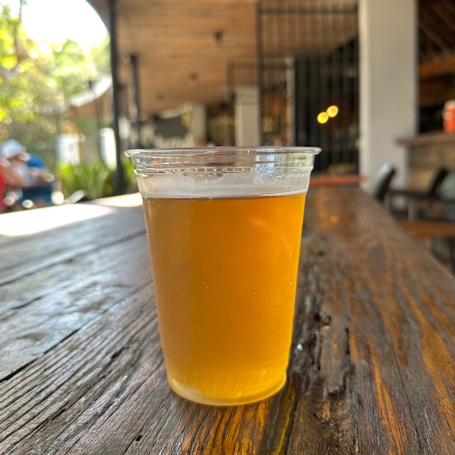
The park also includes a small concession to rent canoes, kayaks, paddle boards, jet-skis, beach chairs and beach umbrellas—just about anything a person might need for a little getaway. The beach is easily accessed just past the Park and Ocean Restaurant. This casual restaurant, snuggled beneath what looked like large Seagrape trees (not sure that’s what they were), includes an In-house brewery, Shady Brewing, that offers specialty beers with a taste of Florida. What could be better than a cold beer and some island music to end the afternoon? I chose the bartender’s favorite, a light beer with a hint of Mango, called Mangolandia, enjoying it along with the fish tacos.
A Refreshing Beer with a Florida Twist
At the end of my visit, I had walked about 2.5 miles and spent two hours in the park.
I purchased an annual pass for the Florida State Parks at the beginning of January and have visited only two thus far—and they could not have been more different—but the country girl in me is good with that now. Sometimes, smaller does the trick. Either way, it has been a great investment of $60. I look forward to the next one!